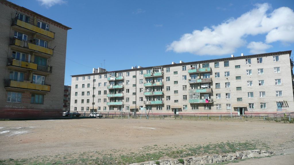
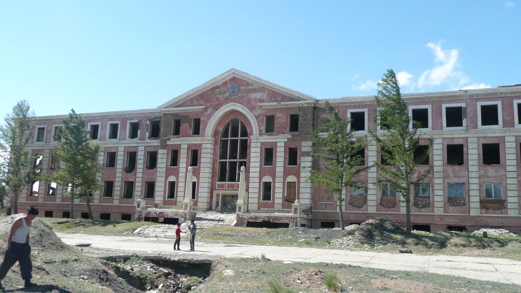
Nalaikh (Mongolian: Налайх) is one of nine districts (düüreg) of the Mongolian capital of Ulaanbaatar. It has an area of 68,700 hectares and a population of 39,579 in 2022 (26,529 in 2005). A former coal-mining town, it is subdivided into 8 subdistricts (khoroo) incorporating Shokhoi, Arjanchivlan, Terelj holiday center, and other residential areas, as well as a former Soviet military cantonment, including an airfield. Nalaikh is linked to Ulaanbaatar by a 43-kilometer narrow-gauge railway line, built in July 1938. The line had three stations (Nalaikh; Amgalan, a Ulaanbaatar suburb; and Kombinat, the city's industrial combine) and operated 14 steam locomotives, 16 passenger carriages, 70 goods wagons, 10 platform wagons, and nine fuel tank wagons. Nalaikh now has a broad-gauge branch line (via Khonkhor) to the Trans-Mongolian Railway. The Kapitalnaya shaft went into operation in 1951, and at full capacity produced 600,000 metric tons of coal a year. Nalaikh gained town status in 1962, and was established as a district of Ulaanbaatar in 1992. Since the closure of the coal mine in the 1990s, the town has had a high rate of unemployment.
Show more
Sun and Moon
Mon
Tue
Wed
Thu
Fri
Sat
Sun
May 2022
Date and time
00:00
06:00
12:00
18:00
Today
--
--
Sunrise
--
Sunset
--
Moonrise
--
Moonset
Phase
🌔 Waxing Gibbous
The perfect light time for beautiful photos:
--
Sunrise
--
Sunset
PeakVisor app
Get the app on your smartphone
New Panorama Tools
Trace location on the map
Measure distances
All the instruments are available in the context menu as well.
We use GPS information embedded into the photo when it is available.
3D mountains overlay
Adjust mountain panorama to perfectly match your photos because recorded by camera photo position might be imprecise.
Move tool
Rotate tool
Zoom
More customization
Choose which peak labels should make into the final photo and what photo title should be.
Next
Photo Location
Satellitte
Flat map
Relief map
Latitude
Longitude
Altitude
OR
Latitude
°'''
Longitude
°'''
Apply
Register Peak
Peak Name
Latitude
Longitude
Altitude
Register
Teleport
PeakVisor
This 3D model of Sagarmatha National Park in Nepal was made using the PeakVisor app topographic data. The mobile app features higher precision models worldwide, more topographic details, and works offline. Download PeakVisor maps today.
Download OBJ model
PeakVisor
The download should start shortly. If you find it useful please consider supporting the PeakVisor app.
PeakVisor for iOS and Android
Be a superhero of outdoor navigation with state-of-the-art 3D maps and mountain identification in the palm of your hand!