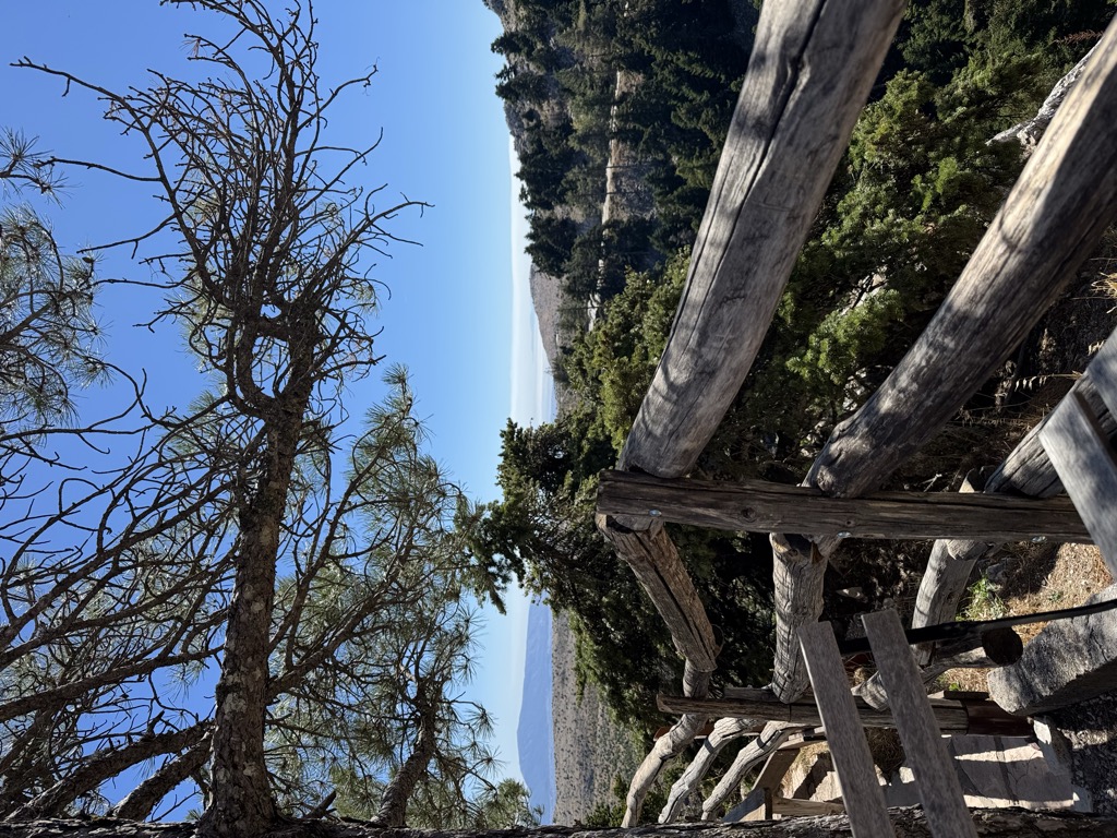
The Bafi Refuge (also spelt Mpafi) belongs to the Greek Mountaineering Club, E.O.S. Athens founded in 1928 in the Mount Parnitha National Park, at an altitude of 1160m, roughly 2.5 km from Mont Parness, inside the national park. Ιn April 1937 the refuge's foundation stone was laid. The first part was completed in Autumn of 1939 with money that was collected mainly by the members of the Mountaineering Club, but also other affiliated associations. Paths begin from the shelter leaving in all directions, which can offer small and easy walks of half and one hour or long and difficult walks for the fitter. Access to the refuge is from the street that goes up Parnitha to the casino “Mont Parness”, or from a marked path which begins from the car park of the cable car and via the ravine of Choynis, leading to the shelter. Also, Bathis Square buses of line 714 of OASA leave for the Casino of Parnitha. Today, the refuge is open all year round, it has organised cooking and it offers homemade food, refreshments and drinks. It provides the possibility of overnight stay, with three dormitories of 10, 20 and 30 places, three rooms with four beds, and one room in the loft of the shelter with two beds. During the winter there is central heating.
We use GPS information embedded into the photo when it is available.
3D mountains overlay
Adjust mountain panorama to perfectly match your photos because recorded by camera photo position might be imprecise.
Move tool
Rotate tool
Zoom
More customization
Choose which peak labels should make into the final photo and what photo title should be.
Next
Photo Location
Satellitte
Flat map
Relief map
Latitude
Longitude
Altitude
OR
Latitude
°'''
Longitude
°'''
Apply
Register Peak
Peak Name
Latitude
Longitude
Altitude
Register
Teleport
PeakVisor
This 3D model of Sagarmatha National Park in Nepal was made using the PeakVisor app topographic data. The mobile app features higher precision models worldwide, more topographic details, and works offline. Download PeakVisor maps today.
Download OBJ model
PeakVisor
The download should start shortly. If you find it useful please consider supporting the PeakVisor app.
PeakVisor for iOS and Android
Be a superhero of outdoor navigation with state-of-the-art 3D maps and mountain identification in the palm of your hand!