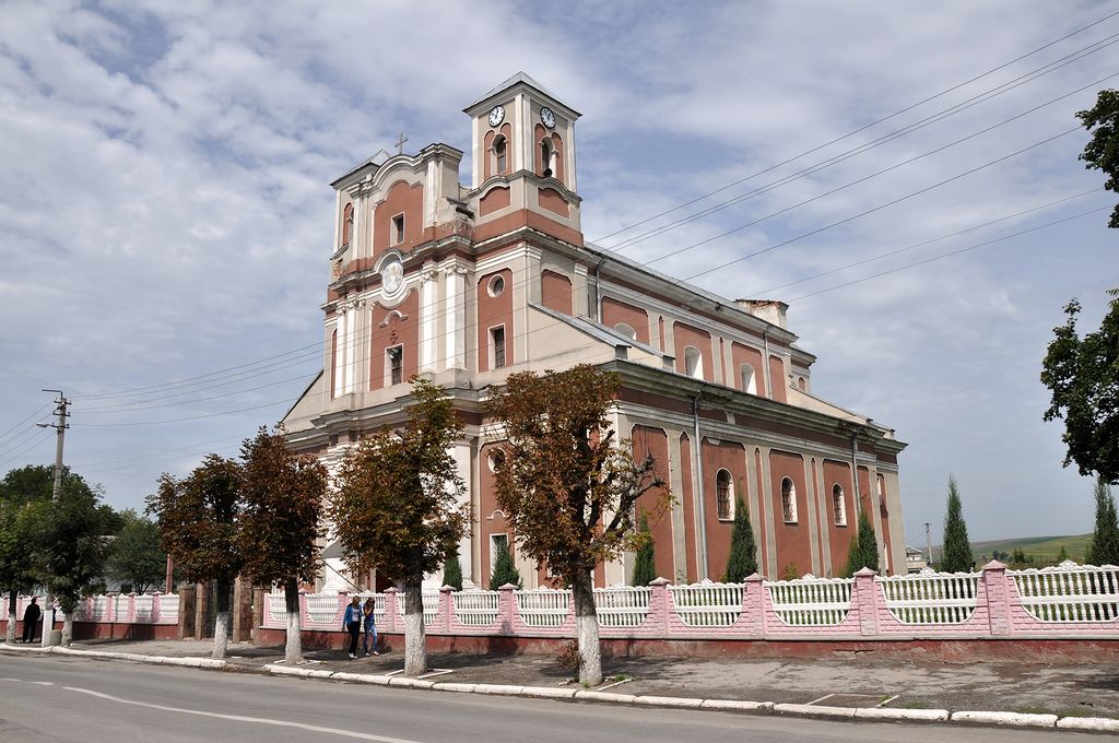
Monastyryska (Ukrainian: Монастириська; Polish: Monasterzyska, Yiddish: מאָנעסטרישטש, romanized: Monastrishtch) is a small city in Chortkiv Raion, Ternopil Oblast, Ukraine. In 2001, the population was 6,344. The town is situated on the river Koropets, 15 km (9.32 mi) from Buchach, 140 km (86.99 mi) south-east from Lviv, on the road between Ternopil or Berezhany and Ivano-Frankivsk. The river Koropets forms a wide lake. Monasteryska borders Hryhoriv and Bertnyky on the east, Ozekhiv on the south, Vycholky and Stara Huta on the west, Nova Huta, Shveykiv and Kovalivka on the north. It hosts the administration of Monastyryska urban hromada, one of the hromadas of Ukraine. Population: 5,380 (2022 estimate). Its older name was Monastyryshche (Монастирище), which gave rise to the Yiddish name Monastrishtsh. Prior to the war in 1939, the town had 1741 Roman Catholics (Poles), 408 Greek-Catholics (Ukrainians), and 1,310 Jews. The local Roman Catholic church has existed since 1702.
Show more
Sun and Moon
Mon
Tue
Wed
Thu
Fri
Sat
Sun
May 2022
Date and time
00:00
06:00
12:00
18:00
Today
--
--
Sunrise
--
Sunset
--
Moonrise
--
Moonset
Phase
🌔 Waxing Gibbous
The perfect light time for beautiful photos:
--
Sunrise
--
Sunset
PeakVisor app
Get the app on your smartphone
New Panorama Tools
Trace location on the map
Measure distances
All the instruments are available in the context menu as well.
We use GPS information embedded into the photo when it is available.
3D mountains overlay
Adjust mountain panorama to perfectly match your photos because recorded by camera photo position might be imprecise.
Move tool
Rotate tool
Zoom
More customization
Choose which peak labels should make into the final photo and what photo title should be.
Next
Photo Location
Satellitte
Flat map
Relief map
Latitude
Longitude
Altitude
OR
Latitude
°'''
Longitude
°'''
Apply
Register Peak
Peak Name
Latitude
Longitude
Altitude
Register
Teleport
PeakVisor
This 3D model of Sagarmatha National Park in Nepal was made using the PeakVisor app topographic data. The mobile app features higher precision models worldwide, more topographic details, and works offline. Download PeakVisor maps today.
Download OBJ model
PeakVisor
The download should start shortly. If you find it useful please consider supporting the PeakVisor app.
PeakVisor for iOS and Android
Be a superhero of outdoor navigation with state-of-the-art 3D maps and mountain identification in the palm of your hand!