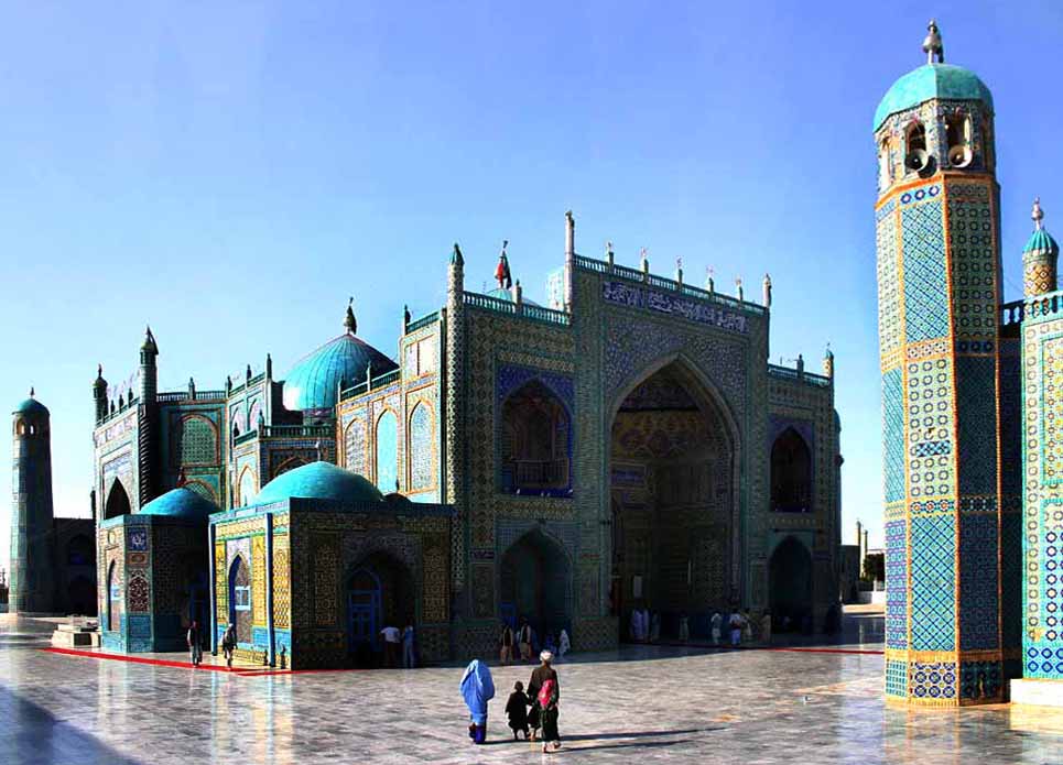
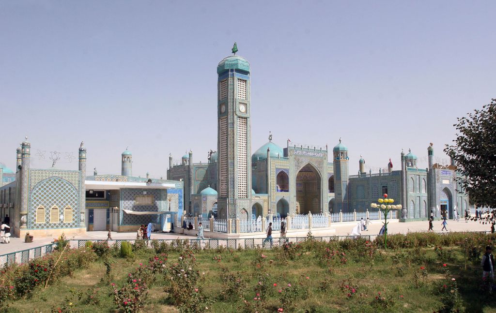
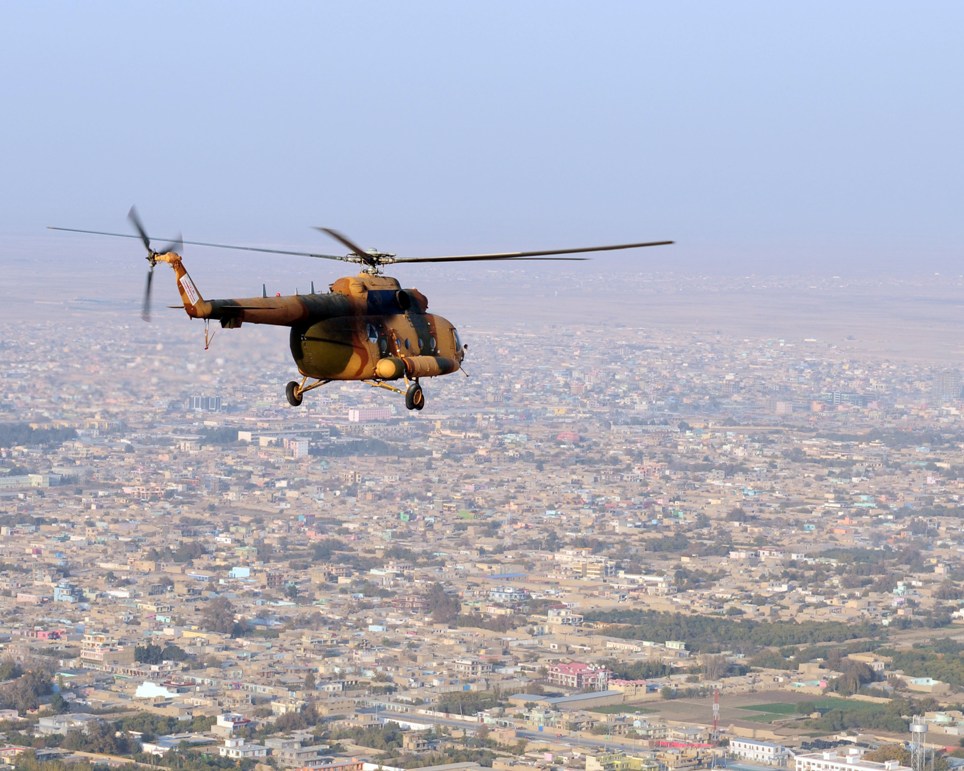
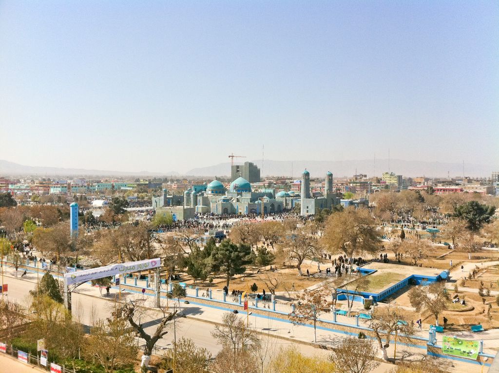
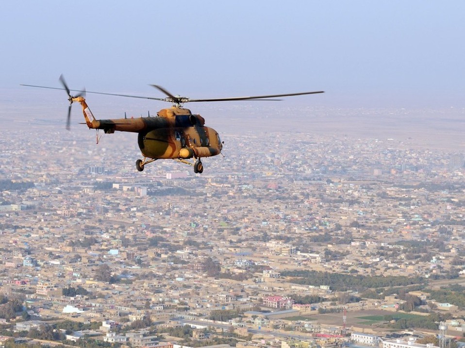
Mazar-i-Sharīf ( mə-ZARR-ee shə-REEF; Dari and Pashto: مزار شریف), also known as Mazar-e Sharīf or simply Mazar, is the fourth-largest city in Afghanistan by population, with an estimated 500,207 residents in 2021. It is the capital of Balkh province and is linked by highways with Kunduz in the east, Kabul in the southeast, Herat in the southwest and Termez, Uzbekistan in the north. It is about 55 km (34 mi) from the Uzbek border. The city is also a tourist attraction because of its famous shrines as well as the Islamic and Hellenistic archeological sites. The ancient city of Balkh is also nearby. The region around Mazar-i-Sharif has been historically part of Greater Khorasan and was controlled by the Tahirids followed by the Saffarids, Samanids, Ghaznavids, Ghurids, Ilkhanids, Timurids, and Khanate of Bukhara until 1751 when it became part of the Durrani Empire (although under autonomous emirs). Eventually the city passed to a few local rulers before becoming part of Afghanistan in 1849. Mazar-i-Sharif is the regional hub of northern Afghanistan, located in close proximity to both Uzbekistan and Tajikistan. It is also home to an international airport. It has the highest percentage of built-up land (91%) of all the Afghan provincial capitals, and it has additional built-up area extending beyond the municipal boundary but forming a part of the larger urban area. It is also the lowest-lying major city in the country, about 357 metres (1,171 ft) above sea level. The city was spared the devastation that occurred in the country's other large cities during the Soviet–Afghan War and subsequent civil war, and was long regarded as one of the safest cities in the country. On 14 August 2021, Mazar-i-Sharif was seized by Taliban fighters, becoming the twenty-fifth provincial capital to be captured by the Taliban as part of the wider 2021 Taliban offensive.
Show more
Sun and Moon
Mon
Tue
Wed
Thu
Fri
Sat
Sun
May 2022
Date and time
00:00
06:00
12:00
18:00
Today
--
--
Sunrise
--
Sunset
--
Moonrise
--
Moonset
Phase
🌔 Waxing Gibbous
The perfect light time for beautiful photos:
--
Sunrise
--
Sunset
PeakVisor app
Get the app on your smartphone
New Panorama Tools
Trace location on the map
Measure distances
All the instruments are available in the context menu as well.
We use GPS information embedded into the photo when it is available.
3D mountains overlay
Adjust mountain panorama to perfectly match your photos because recorded by camera photo position might be imprecise.
Move tool
Rotate tool
Zoom
More customization
Choose which peak labels should make into the final photo and what photo title should be.
Next
Photo Location
Satellitte
Flat map
Relief map
Latitude
Longitude
Altitude
OR
Latitude
°'''
Longitude
°'''
Apply
Register Peak
Peak Name
Latitude
Longitude
Altitude
Register
Teleport
PeakVisor
This 3D model of Sagarmatha National Park in Nepal was made using the PeakVisor app topographic data. The mobile app features higher precision models worldwide, more topographic details, and works offline. Download PeakVisor maps today.
Download OBJ model
PeakVisor
The download should start shortly. If you find it useful please consider supporting the PeakVisor app.
PeakVisor for iOS and Android
Be a superhero of outdoor navigation with state-of-the-art 3D maps and mountain identification in the palm of your hand!


.jpg)


