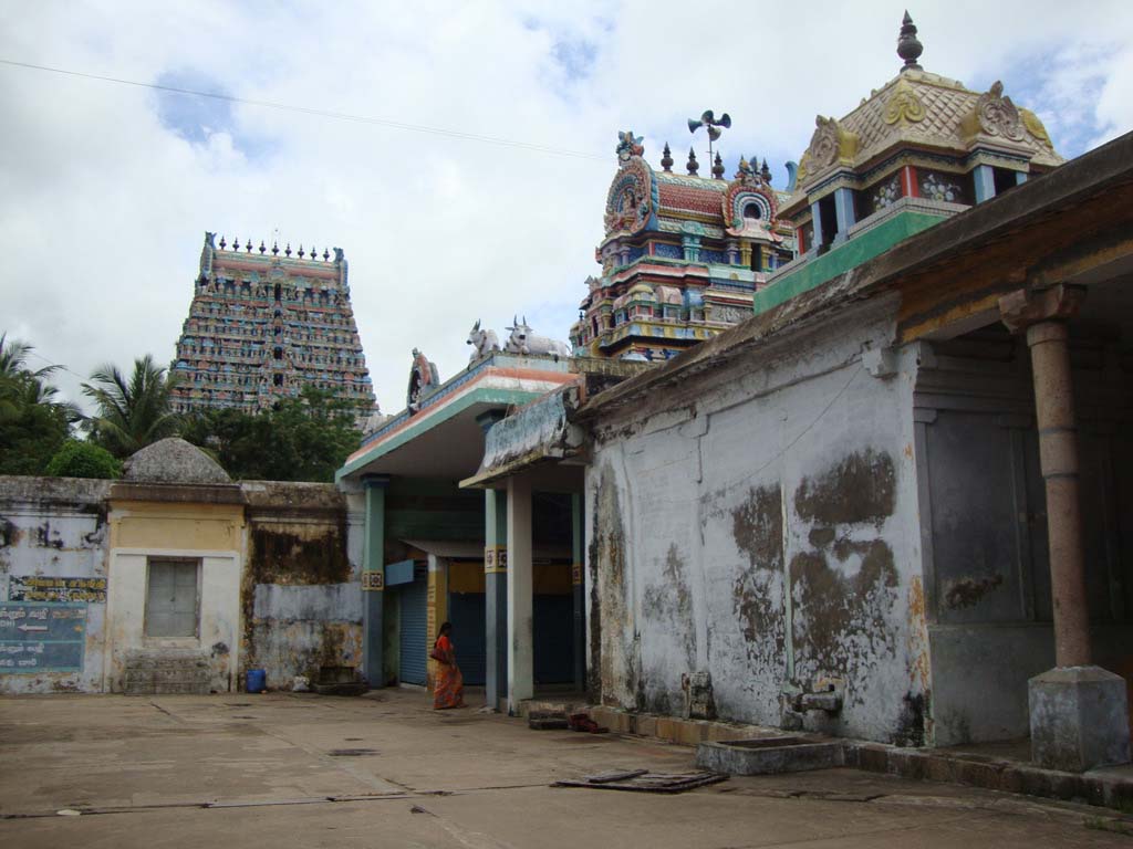
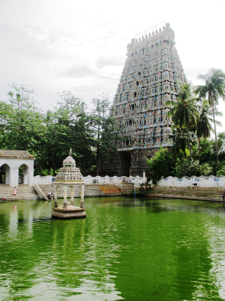
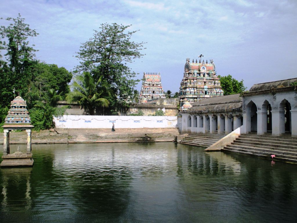
Mayiladuthurai (formerly known as Mayavaram or Mayuram) is a Special grade Municipality and district headquarter of Mayiladuthurai district in Tamil Nadu, India. The town is located at a distance of 256 km (159 mi) from the state capital, Chennai. Mayiladuthurai was ruled by Medieval Cholas and subsequently ruled by various dynasties, including the Vijayanagar Empire, Thanjavur Nayaks, Thanjavur Marathas and the British Empire. Mayiladuthurai was a part of the erstwhile Tanjore district until India's independence in 1947 and Thanjavur district until 1991 and subsequently a part of the newly formed Nagapattinam district. The town is known for agriculture and weaving. As Mayiladuthurai District is situated in East Coast, fishing plays a vital role on generating its revenue. In 2023, the district was declared as a protected agricultural zone. Mayiladuthurai is administered by a town panchayat established in 1866. As of 2008, the Panchayat covered an area of 11.27 km2 (4.35 sq mi). Mayiladuthurai comes under the Mayiladuthurai assembly constituency which elects a member to the Tamil Nadu Legislative Assembly once every five years and it is a part of the Mayiladuthurai constituency which elects its Member of Parliament (MP) once in five years. It is well connected by road and rail transport. Mayiladuthurai serves as an important junction in main line connecting Chennai with Trichy. Roadways and Railways are the major mode of transportation to the town. The nearest airport, Pondicherry Airport, is located 116 km (72 mi) from the town. Mayiladuthurai was carved out of Nagapattinam district and inaugurated as the 38th district of Tamil Nadu on December 28, 2020.
We use GPS information embedded into the photo when it is available.
3D mountains overlay
Adjust mountain panorama to perfectly match your photos because recorded by camera photo position might be imprecise.
Move tool
Rotate tool
Zoom
More customization
Choose which peak labels should make into the final photo and what photo title should be.
Next
Photo Location
Satellitte
Flat map
Relief map
Latitude
Longitude
Altitude
OR
Latitude
°'''
Longitude
°'''
Apply
Register Peak
Peak Name
Latitude
Longitude
Altitude
Register
Teleport
PeakVisor
This 3D model of Sagarmatha National Park in Nepal was made using the PeakVisor app topographic data. The mobile app features higher precision models worldwide, more topographic details, and works offline. Download PeakVisor maps today.
Download OBJ model
PeakVisor
The download should start shortly. If you find it useful please consider supporting the PeakVisor app.
PeakVisor for iOS and Android
Be a superhero of outdoor navigation with state-of-the-art 3D maps and mountain identification in the palm of your hand!