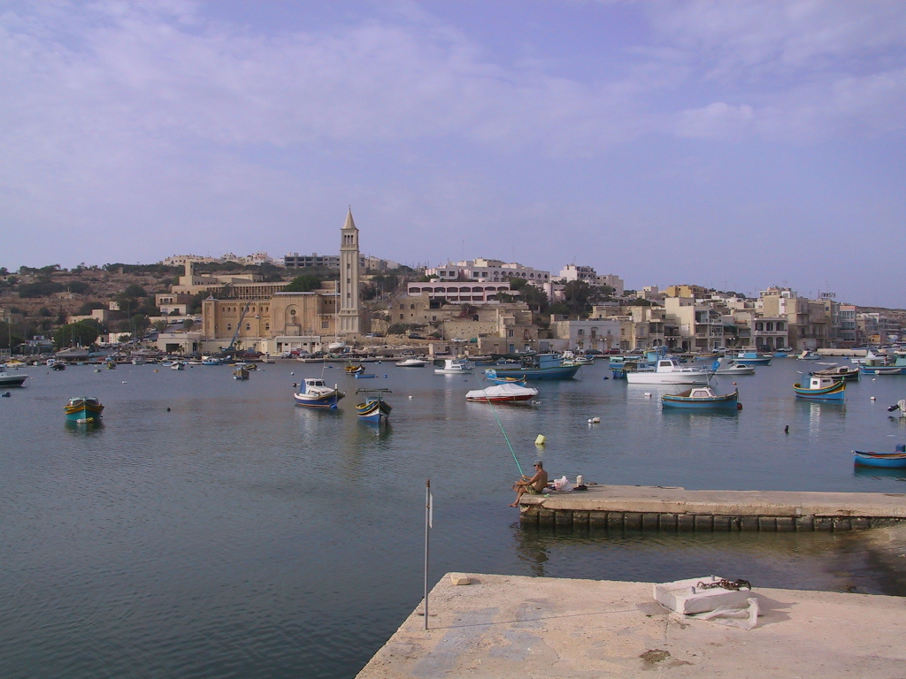
Marsaskala (Maltese: Wied il-Għajn), also written as Marsascala and abbreviated as M'Skala, is a seaside town in the South Eastern Region of Malta which has grown around the small harbour at the head of Marsaskala Bay, a long, narrow inlet also known as Marsaskala Creek. The bay is sheltered to the north by Ras iż-Żonqor, the southeast corner of Malta, and to the south by the headland of Ras il-Gżira. The parish church, built in 1953, is dedicated to Saint Anne and the feast is celebrated at the end of July in Marsaskala. It was originally a fishing village only but has gradually evolved into a tourist destination and a permanent hometown for an ever-growing population. The town has a winter population of 12,134 people as of March 2014, but swells to around 20,000 in summer.
Show more
Sun and Moon
Mon
Tue
Wed
Thu
Fri
Sat
Sun
May 2022
Date and time
00:00
06:00
12:00
18:00
Today
--
--
Sunrise
--
Sunset
--
Moonrise
--
Moonset
Phase
🌔 Waxing Gibbous
The perfect light time for beautiful photos:
--
Sunrise
--
Sunset
PeakVisor app
Get the app on your smartphone
New Panorama Tools
Trace location on the map
Measure distances
All the instruments are available in the context menu as well.
We use GPS information embedded into the photo when it is available.
3D mountains overlay
Adjust mountain panorama to perfectly match your photos because recorded by camera photo position might be imprecise.
Move tool
Rotate tool
Zoom
More customization
Choose which peak labels should make into the final photo and what photo title should be.
Next
Photo Location
Satellitte
Flat map
Relief map
Latitude
Longitude
Altitude
OR
Latitude
°'''
Longitude
°'''
Apply
Register Peak
Peak Name
Latitude
Longitude
Altitude
Register
Teleport
PeakVisor
This 3D model of Sagarmatha National Park in Nepal was made using the PeakVisor app topographic data. The mobile app features higher precision models worldwide, more topographic details, and works offline. Download PeakVisor maps today.
Download OBJ model
PeakVisor
The download should start shortly. If you find it useful please consider supporting the PeakVisor app.
PeakVisor for iOS and Android
Be a superhero of outdoor navigation with state-of-the-art 3D maps and mountain identification in the palm of your hand!