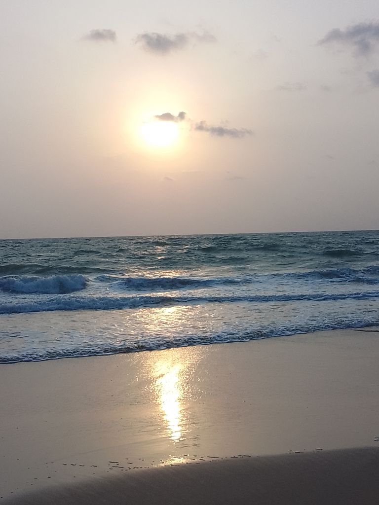
Maravanthe is a village and a beach in Byndoor Taluk, Udupi District, Karnataka, India. It is about 115 km from industrial hub Mangalore, 55 km from Udupi.18 km from Kundapura. and 21 km from Byndoor. NH-66 (erstwhile NH-17) runs next to the beach and the Suparnika River flows on the other side of the road. Outlook traveller considers it one of Karnataka's most beautiful beaches. The Suparnika River, which almost touches the Arabian Sea here, makes a U-turn and goes westward to join the sea after a journey of nearly more than 10 km (6.2 mi).
We use GPS information embedded into the photo when it is available.
3D mountains overlay
Adjust mountain panorama to perfectly match your photos because recorded by camera photo position might be imprecise.
Move tool
Rotate tool
Zoom
More customization
Choose which peak labels should make into the final photo and what photo title should be.
Next
Photo Location
Satellitte
Flat map
Relief map
Latitude
Longitude
Altitude
OR
Latitude
°'''
Longitude
°'''
Apply
Register Peak
Peak Name
Latitude
Longitude
Altitude
Register
Teleport
PeakVisor
This 3D model of Sagarmatha National Park in Nepal was made using the PeakVisor app topographic data. The mobile app features higher precision models worldwide, more topographic details, and works offline. Download PeakVisor maps today.
Download OBJ model
PeakVisor
The download should start shortly. If you find it useful please consider supporting the PeakVisor app.
PeakVisor for iOS and Android
Be a superhero of outdoor navigation with state-of-the-art 3D maps and mountain identification in the palm of your hand!