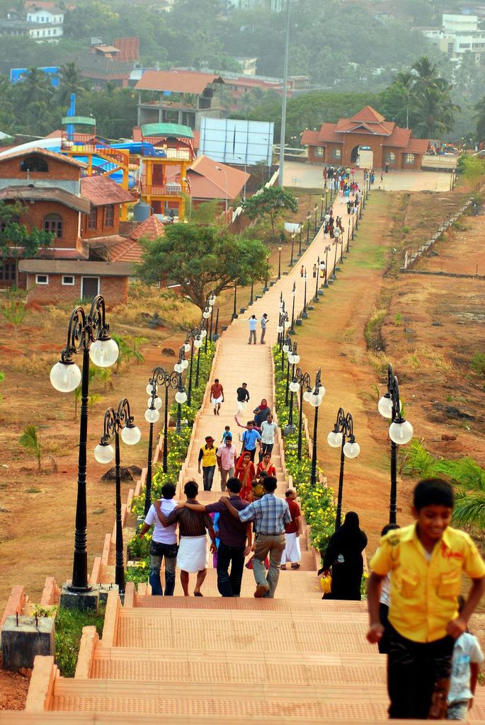
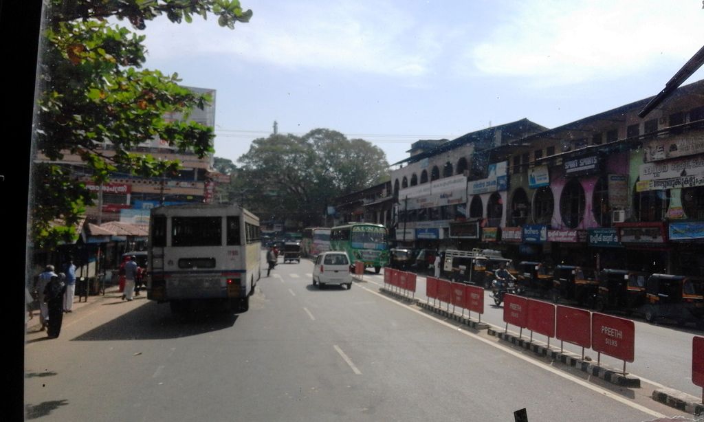
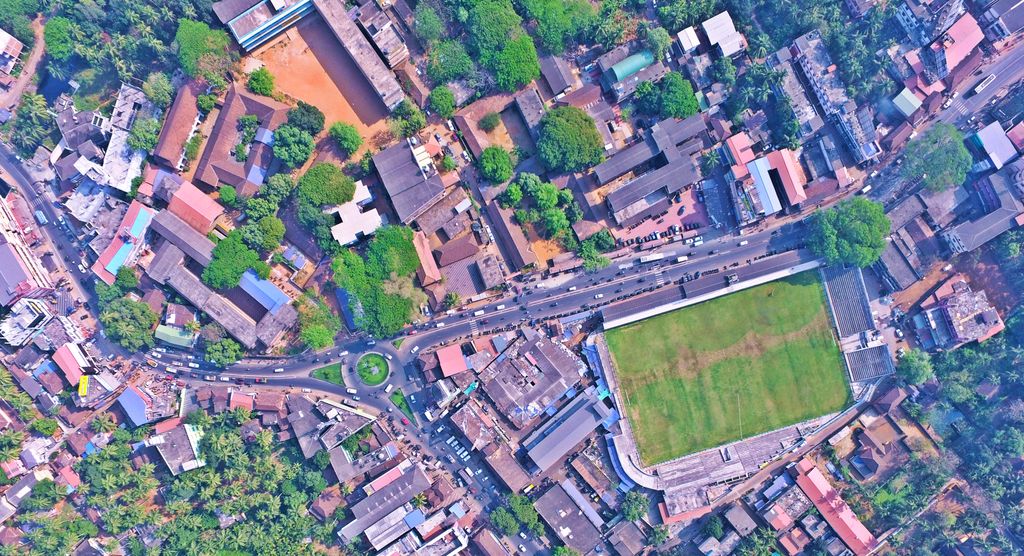
Malappuram (also Malapuram) (Malayalam: [mɐlɐpːurɐm] ) is a city and the headquarters of the Malappuram district in Kerala, India. It is the 4th largest urban agglomeration in Kerala and the 20th largest in India and a city in the Indian state of Kerala, spread over an area of 158.20 km2 (61.08 sq mi) including the surrounding suburban areas. The first municipality in the district formed in 1970, Malappuram serves as the administrative headquarters of Malappuram district. Divided into 40 electoral wards, the city has a population density of 4,800 per square kilometre (12,000 per square mile). According to the 2011 census, the Malappuram metropolitan area is the fourth largest urban agglomeration in Kerala after Kochi, Calicut, and Thrissur urban areas and the 20th largest in India with a total population of 3 million. It is the fastest growing city in the world with a 44.1% urban growth between 2015 and 2020 as per the survey conducted by Economist Intelligence Unit (EIU) based on the urban area growth during January 2020. Malappuram is situated 54 km southeast of Calicut and 90 km northwest of Palakkad. It is the first Indian municipal body to provide free Wi-Fi connectivity to its entire residents. Malappuram is also the first Indian municipal body to achieve the International Organization for Standardization certificate. It is also the first complaint-free municipality in the state.
We use GPS information embedded into the photo when it is available.
3D mountains overlay
Adjust mountain panorama to perfectly match your photos because recorded by camera photo position might be imprecise.
Move tool
Rotate tool
Zoom
More customization
Choose which peak labels should make into the final photo and what photo title should be.
Next
Photo Location
Satellitte
Flat map
Relief map
Latitude
Longitude
Altitude
OR
Latitude
°'''
Longitude
°'''
Apply
Register Peak
Peak Name
Latitude
Longitude
Altitude
Register
Teleport
PeakVisor
This 3D model of Sagarmatha National Park in Nepal was made using the PeakVisor app topographic data. The mobile app features higher precision models worldwide, more topographic details, and works offline. Download PeakVisor maps today.
Download OBJ model
PeakVisor
The download should start shortly. If you find it useful please consider supporting the PeakVisor app.
PeakVisor for iOS and Android
Be a superhero of outdoor navigation with state-of-the-art 3D maps and mountain identification in the palm of your hand!