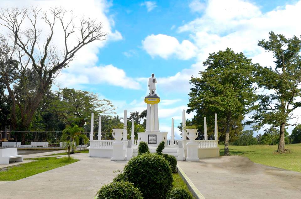
Makato, officially the Municipality of Makato (Aklanon: Banwa it Makato; Hiligaynon: Banwa sang Makato; Tagalog: Bayan ng Makato), is a 4th class municipality in the province of Aklan, Philippines. According to the 2020 census, it has a population of 29,717 people. Established in the thirteenth century, the town’s name had been acquired by accident. Thinking that the Spaniards came to ask the route along the river, the native answered “Makato” which meant “that way”. The Spaniards recorded the name Makato in 1800, thinking it was the name of the town. In 1901, the town merged with Tangalan to form the new municipality of Taft, named after the then Governor-General of the Philippines and future United States President, William Howard Taft. But in 1923, Representative Manuel Terencio of Capiz's now-obsolete 3rd district, authored a law restoring its former name. In 1948, the arrabal of Tangalan, comprising the barrios of Tondog, Jawili, Dumatad, Afga, Baybay, Dapdap, Pudyot, Tagas, Tamalagon, Panayakan, Vivo, Lanipga, Napatag and Tamoko, was separated from Makato to form the municipality of Tangalan.
Show more
Sun and Moon
Mon
Tue
Wed
Thu
Fri
Sat
Sun
May 2022
Date and time
00:00
06:00
12:00
18:00
Today
--
--
Sunrise
--
Sunset
--
Moonrise
--
Moonset
Phase
🌔 Waxing Gibbous
The perfect light time for beautiful photos:
--
Sunrise
--
Sunset
PeakVisor app
Get the app on your smartphone
New Panorama Tools
Trace location on the map
Measure distances
All the instruments are available in the context menu as well.
We use GPS information embedded into the photo when it is available.
3D mountains overlay
Adjust mountain panorama to perfectly match your photos because recorded by camera photo position might be imprecise.
Move tool
Rotate tool
Zoom
More customization
Choose which peak labels should make into the final photo and what photo title should be.
Next
Photo Location
Satellitte
Flat map
Relief map
Latitude
Longitude
Altitude
OR
Latitude
°'''
Longitude
°'''
Apply
Register Peak
Peak Name
Latitude
Longitude
Altitude
Register
Teleport
PeakVisor
This 3D model of Sagarmatha National Park in Nepal was made using the PeakVisor app topographic data. The mobile app features higher precision models worldwide, more topographic details, and works offline. Download PeakVisor maps today.
Download OBJ model
PeakVisor
The download should start shortly. If you find it useful please consider supporting the PeakVisor app.
PeakVisor for iOS and Android
Be a superhero of outdoor navigation with state-of-the-art 3D maps and mountain identification in the palm of your hand!