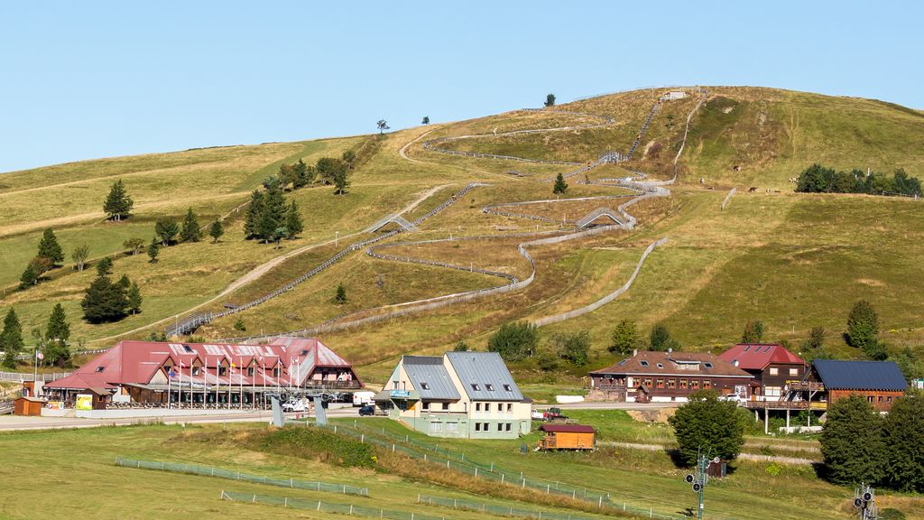
Le Markstein is a winter sports station in the Vosges mountains in France situated at an altitude of between 1,020 m (3,346 ft) and 1,268 m (4,160 ft) which is located on the Route des Crêtes. It forms a set of cross-country skiing with the Breitfirst ski-station and the Grand Ballon. The highest point is the summit of the Jungfraukopf. The station staged World Cup skiing in 1983 and 1987 and World Cup Paragliding in 1999. The roads through the station are also used from time to time by the Tour de France cycle race, including twice in 2014 and again in 2023.
We use GPS information embedded into the photo when it is available.
3D mountains overlay
Adjust mountain panorama to perfectly match your photos because recorded by camera photo position might be imprecise.
Move tool
Rotate tool
Zoom
More customization
Choose which peak labels should make into the final photo and what photo title should be.
Next
Photo Location
Satellitte
Flat map
Relief map
Latitude
Longitude
Altitude
OR
Latitude
°'''
Longitude
°'''
Apply
Register Peak
Peak Name
Latitude
Longitude
Altitude
Register
Teleport
PeakVisor
This 3D model of Sagarmatha National Park in Nepal was made using the PeakVisor app topographic data. The mobile app features higher precision models worldwide, more topographic details, and works offline. Download PeakVisor maps today.
Download OBJ model
PeakVisor
The download should start shortly. If you find it useful please consider supporting the PeakVisor app.
PeakVisor for iOS and Android
Be a superhero of outdoor navigation with state-of-the-art 3D maps and mountain identification in the palm of your hand!