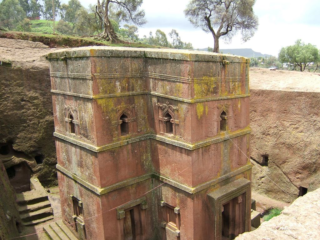
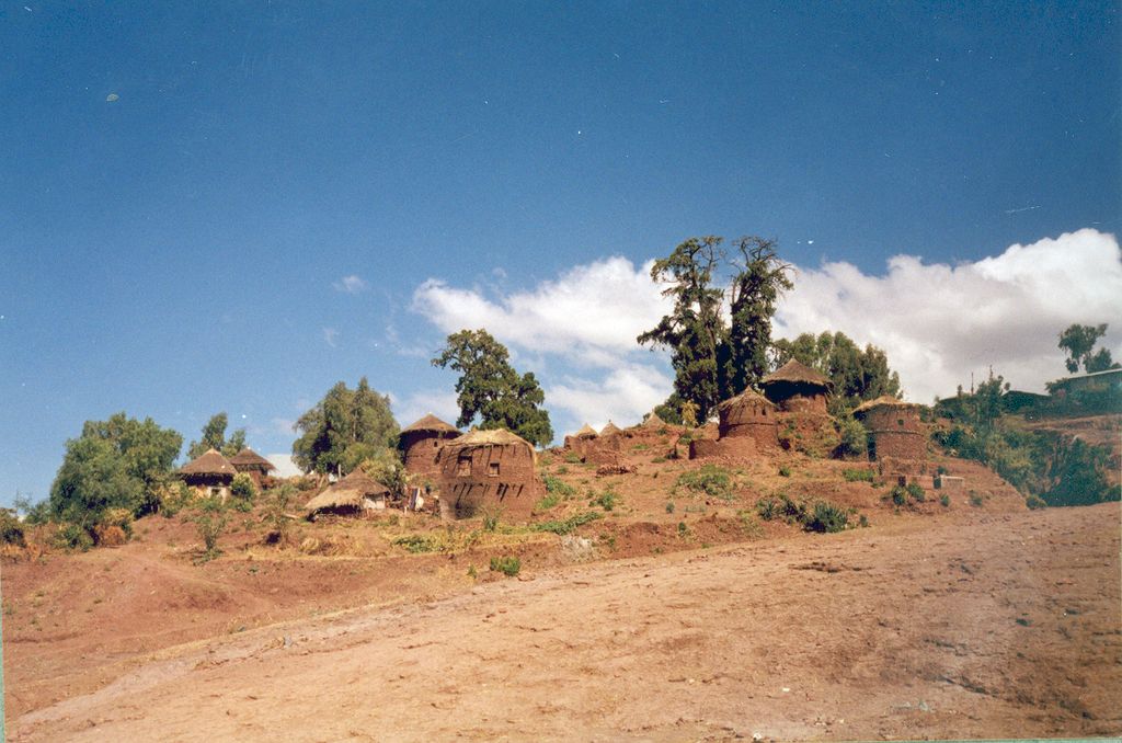
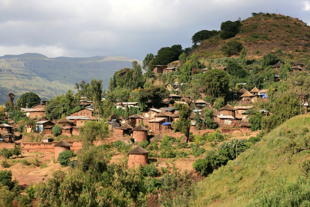
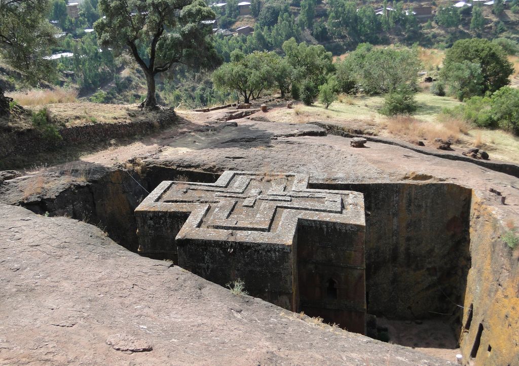
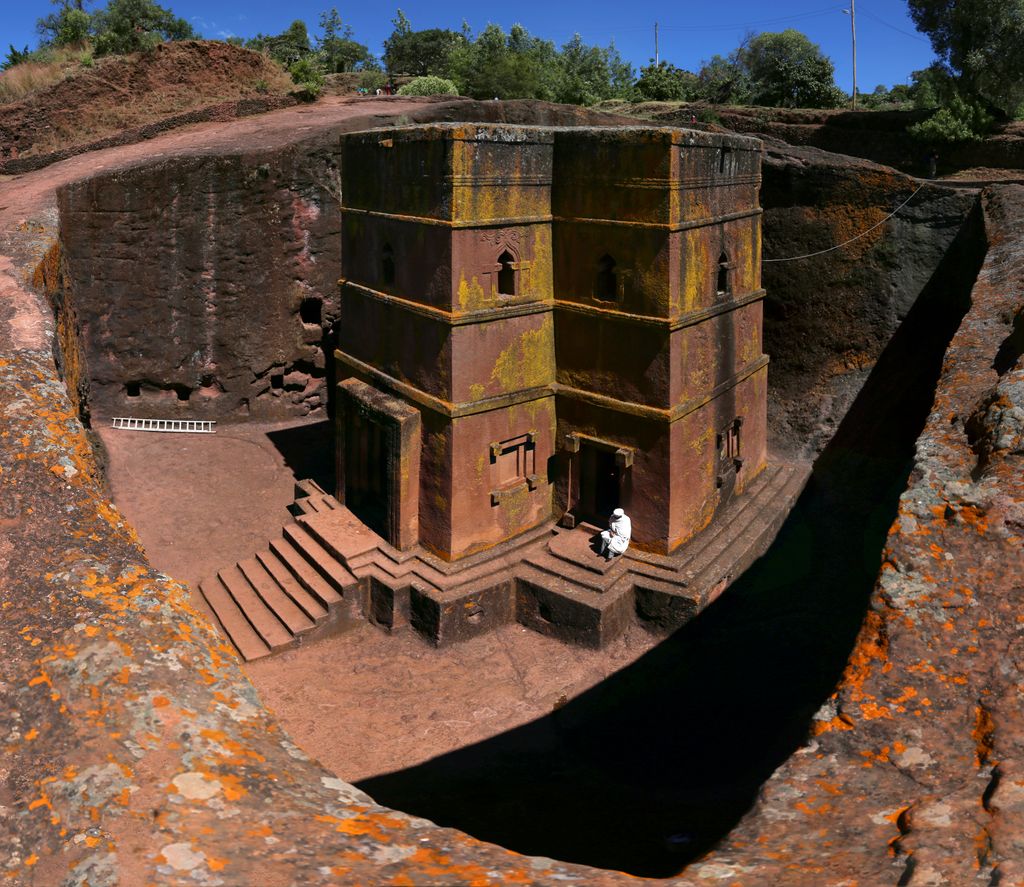
Lalibela (Amharic: ላሊበላ) is a town in the Amhara Region of Ethiopia. Located in the Lasta district and North Wollo Zone, it is a tourist site for its famous rock-cut monolithic churches designed in contrast to the earlier monolithic churches in Ethiopia. The whole of Lalibela is a large and important site for the antiquity, medieval, and post-medieval civilization of Ethiopia. To Christians, Lalibela is one of Ethiopia's holiest cities, and a center of pilgrimage. Ethiopia was one of the earliest nations to adopt Christianity in the first half of the 4th century, and its historical roots date to the time of the Apostles. The churches themselves date from the 7th to 13th centuries, and are traditionally dated to the reign of the Zagwe (Agaw) king Gebre Meskel Lalibela (r. c. 1181–1221). The layout and names of the major buildings in Lalibela are widely accepted, especially by local clergy, to be a symbolic representation of Jerusalem. This has led some experts to date the current church construction to the years following the capture of Jerusalem in 1187 by the Muslim leader Saladin. Lalibela is roughly 2,500 metres (8,200 ft) above sea level. It is the main town in Lasta, which was formerly part of the Bugna district. The rock-hewn churches were declared a World Heritage Site in 1978.
We use GPS information embedded into the photo when it is available.
3D mountains overlay
Adjust mountain panorama to perfectly match your photos because recorded by camera photo position might be imprecise.
Move tool
Rotate tool
Zoom
More customization
Choose which peak labels should make into the final photo and what photo title should be.
Next
Photo Location
Satellitte
Flat map
Relief map
Latitude
Longitude
Altitude
OR
Latitude
°'''
Longitude
°'''
Apply
Register Peak
Peak Name
Latitude
Longitude
Altitude
Register
Teleport
PeakVisor
This 3D model of Sagarmatha National Park in Nepal was made using the PeakVisor app topographic data. The mobile app features higher precision models worldwide, more topographic details, and works offline. Download PeakVisor maps today.
Download OBJ model
PeakVisor
The download should start shortly. If you find it useful please consider supporting the PeakVisor app.
PeakVisor for iOS and Android
Be a superhero of outdoor navigation with state-of-the-art 3D maps and mountain identification in the palm of your hand!