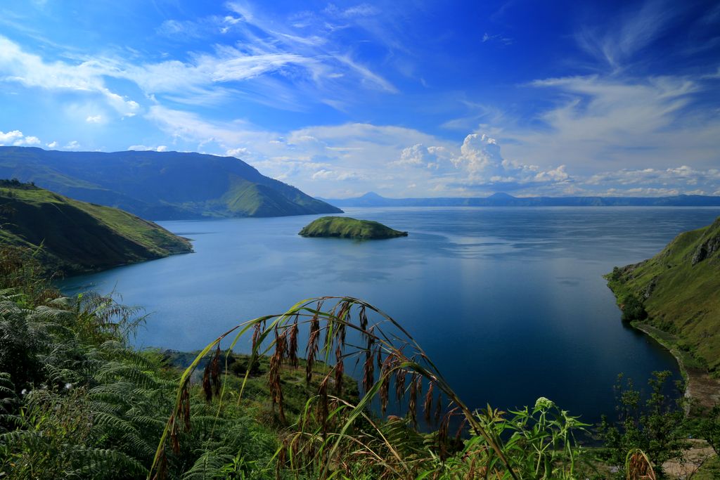
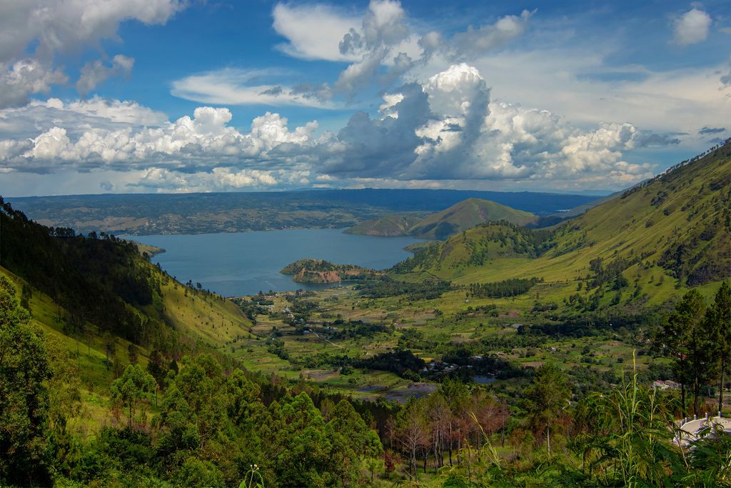
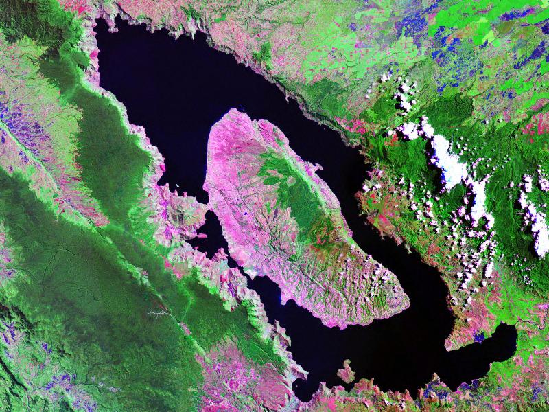
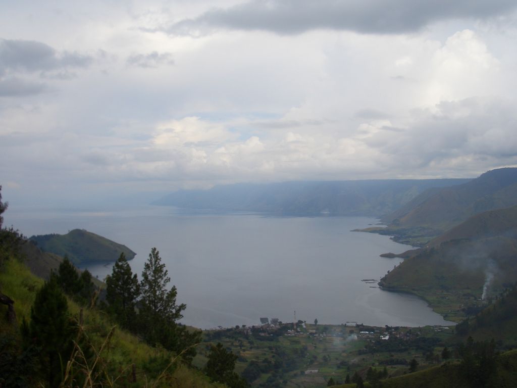
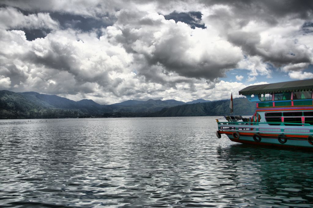
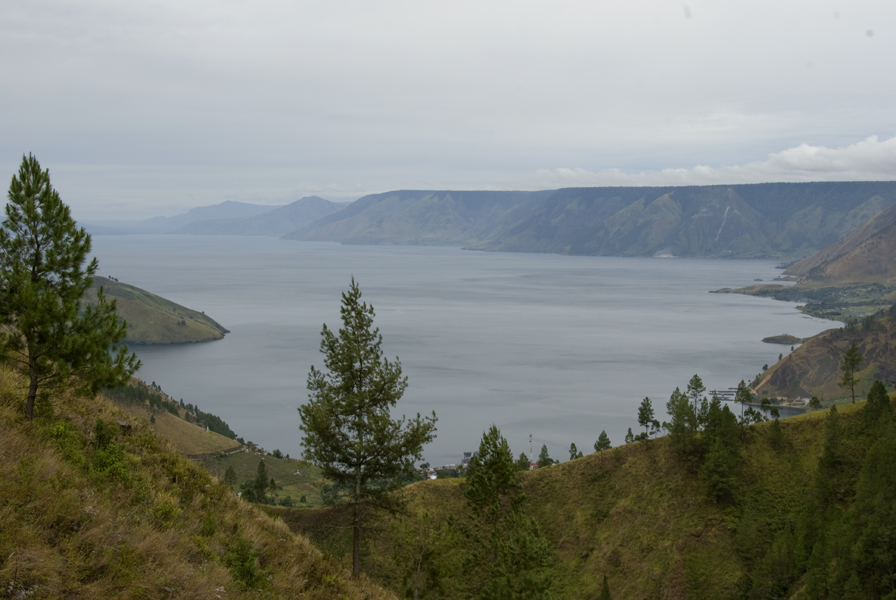
Lake Toba (Indonesian: Danau Toba, Toba Batak: ᯖᯀᯬ ᯖᯬᯅ; romanized: Tao Toba) is a large natural lake in North Sumatra, Indonesia, occupying the caldera of the Toba supervolcano.The lake is located in the middle of the northern part of the island of Sumatra, with a surface elevation of about 900 metres (2,953 ft), the lake stretches from 2.88°N 98.52°E / 2.88; 98.52 to 2.35°N 99.1°E / 2.35; 99.1. The lake is about 100 kilometres (62 miles) long, 30 kilometres (19 mi) wide, and up to 505 metres (1,657 ft) deep. It is the largest lake in Indonesia and the largest volcanic lake in the world. Toba Caldera is one of twenty geoparks in Indonesia, and was recognised in July 2020 as one of the UNESCO Global Geoparks. Lake Toba is the site of a supervolcanic eruption estimated at VEI 8 that occurred 69,000 to 77,000 years ago, representing a climate-changing event. Recent advances in dating methods suggest a more accurate identification of 74,000 years ago as the date. It is the largest-known explosive eruption on Earth in the last 25 million years. According to the Toba catastrophe theory, the eruption had global consequences for human populations as it killed most humans living at that time and is believed to have created a population bottleneck in central east Africa and India, which affects the genetic make-up of the human worldwide population to the present. More recent studies had cast doubt on this theory and found no evidence of substantial changes in global population. It was also suggested that the eruption of the Toba Caldera led to a volcanic winter with a worldwide decrease in temperature between 3 and 5 °C (5.4 and 9.0 °F), and up to 15 °C (27 °F) in higher latitudes. Additional studies in Lake Malawi in East Africa show significant amounts of ash being deposited from the Toba Caldera eruptions, even at that great distance, but little indication of a significant climatic effect in East Africa.
Show more
Sun and Moon
Mon
Tue
Wed
Thu
Fri
Sat
Sun
May 2022
Date and time
00:00
06:00
12:00
18:00
Today
--
--
Sunrise
--
Sunset
--
Moonrise
--
Moonset
Phase
🌔 Waxing Gibbous
The perfect light time for beautiful photos:
--
Sunrise
--
Sunset
PeakVisor app
Get the app on your smartphone
New Panorama Tools
Trace location on the map
Measure distances
All the instruments are available in the context menu as well.
We use GPS information embedded into the photo when it is available.
3D mountains overlay
Adjust mountain panorama to perfectly match your photos because recorded by camera photo position might be imprecise.
Move tool
Rotate tool
Zoom
More customization
Choose which peak labels should make into the final photo and what photo title should be.
Next
Photo Location
Satellitte
Flat map
Relief map
Latitude
Longitude
Altitude
OR
Latitude
°'''
Longitude
°'''
Apply
Register Peak
Peak Name
Latitude
Longitude
Altitude
Register
Teleport
PeakVisor
This 3D model of Sagarmatha National Park in Nepal was made using the PeakVisor app topographic data. The mobile app features higher precision models worldwide, more topographic details, and works offline. Download PeakVisor maps today.
Download OBJ model
PeakVisor
The download should start shortly. If you find it useful please consider supporting the PeakVisor app.
PeakVisor for iOS and Android
Be a superhero of outdoor navigation with state-of-the-art 3D maps and mountain identification in the palm of your hand!


.jpg)
.jpg)