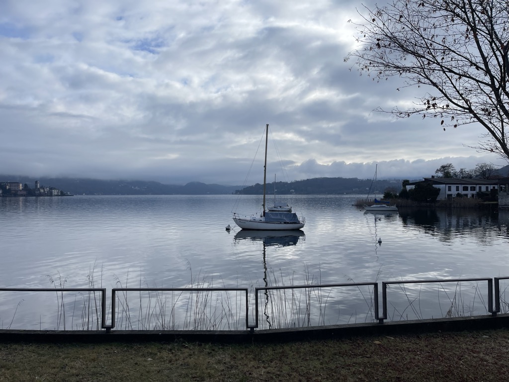
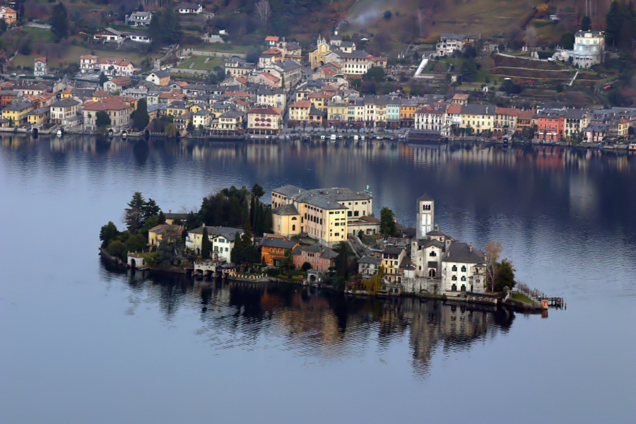
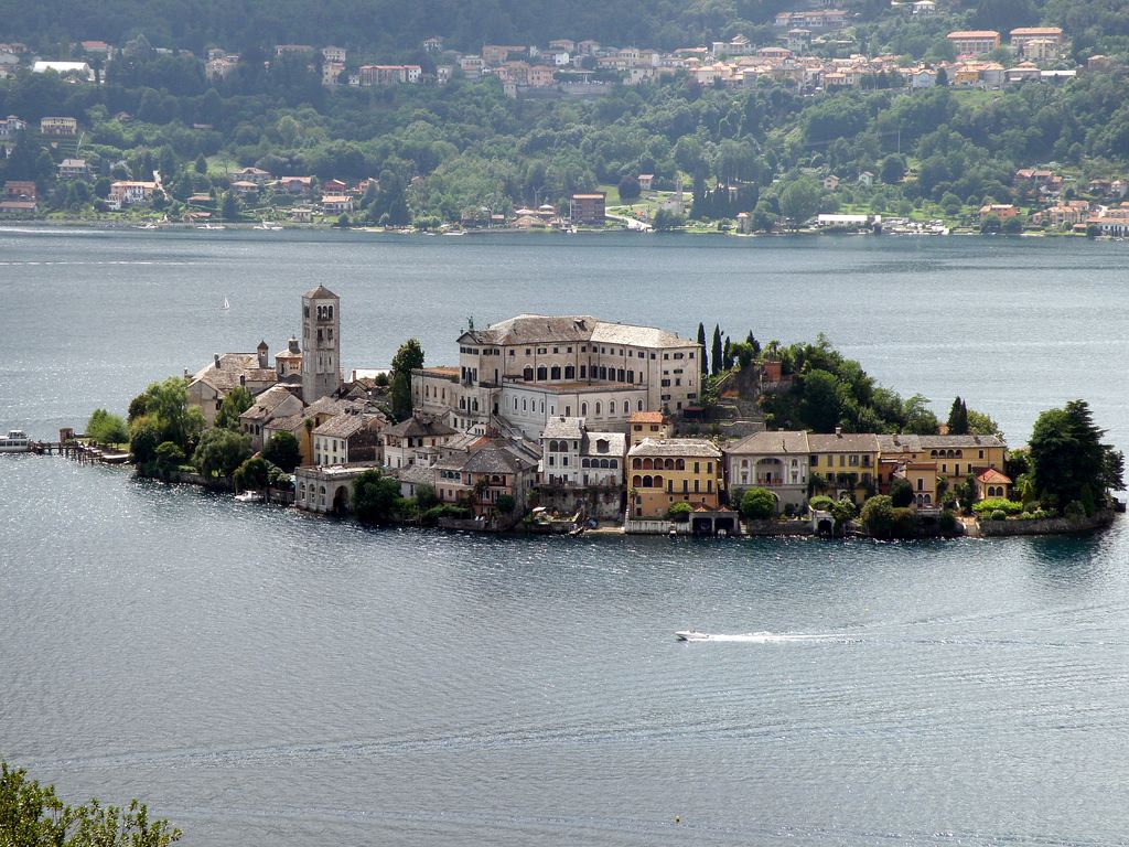
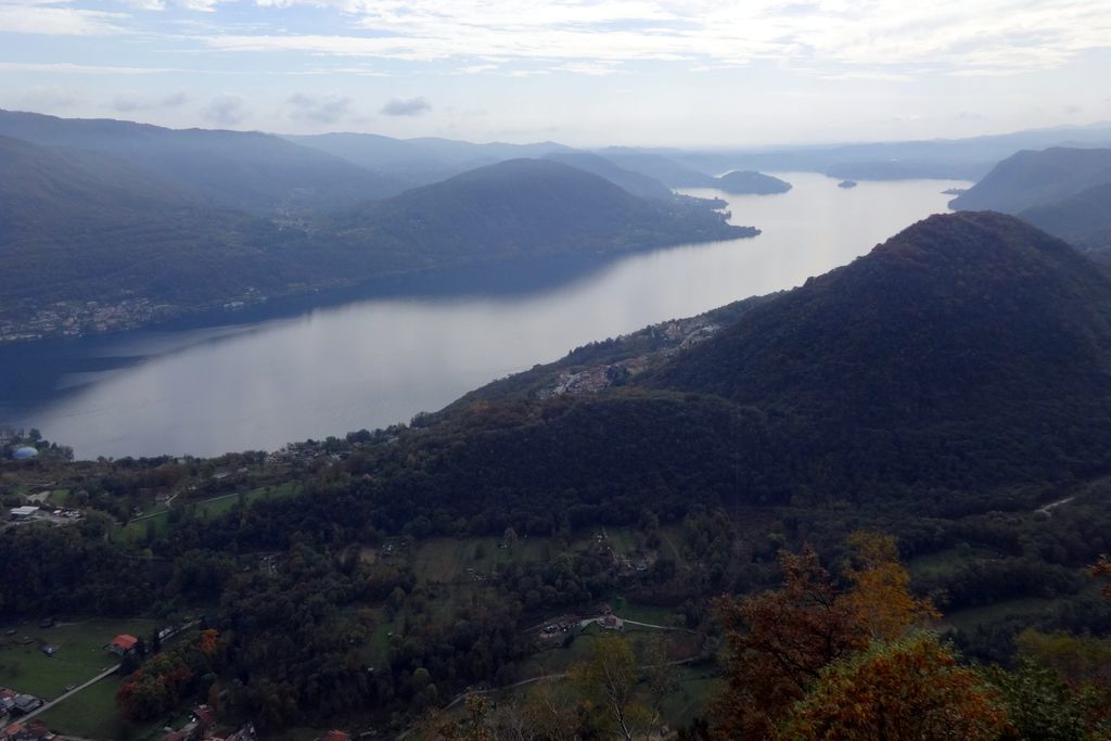
Lake Orta (Italian: Lago d'Orta; Lombard and Piedmontese: Lagh d'Òrta) or Cusio (Lombard and Piedmontese: Cusi; Latin: Lacus Cusius) is a lake in northern Italy, west of Lake Maggiore. It has been so named since the 16th century, but was previously called Lago di San Giulio, after Saint Julius (4th century), the patron saint of the region. Its southern end is about 35 kilometers (22 miles) by rail to the northwest of the city of Novara (located on the main Turin-Milan line), while its northern end is about 6 kilometers (4 miles) by rail south of the Gravellona-Toce railway station, itself located halfway between Ornavasso and Omegna. Its scenery is characteristically Italian, while San Giulio island has some picturesque buildings, and takes its name from the local saint, who lived in the 4th century. The island was fortified between the 5th and 6th centuries. Located around the lake are Orta San Giulio, built on a peninsula projecting from the east shore of the lake, Omegna at its northern extremity, Pettenasco to the east, and Pella to the west. It is supposed that the lake is the remnant of a much larger sheet of water by which originally the waters of the Toce flowed south towards Novara. As the glaciers retreated the waters flowing from them diminished, and were gradually diverted into Lake Maggiore. The inaugural European Rowing Championships were held on Lake Orta in 1893. Frequent ferry service connects towns and villages around the lake.
We use GPS information embedded into the photo when it is available.
3D mountains overlay
Adjust mountain panorama to perfectly match your photos because recorded by camera photo position might be imprecise.
Move tool
Rotate tool
Zoom
More customization
Choose which peak labels should make into the final photo and what photo title should be.
Next
Photo Location
Satellitte
Flat map
Relief map
Latitude
Longitude
Altitude
OR
Latitude
°'''
Longitude
°'''
Apply
Register Peak
Peak Name
Latitude
Longitude
Altitude
Register
Teleport
PeakVisor
This 3D model of Sagarmatha National Park in Nepal was made using the PeakVisor app topographic data. The mobile app features higher precision models worldwide, more topographic details, and works offline. Download PeakVisor maps today.
Download OBJ model
PeakVisor
The download should start shortly. If you find it useful please consider supporting the PeakVisor app.
PeakVisor for iOS and Android
Be a superhero of outdoor navigation with state-of-the-art 3D maps and mountain identification in the palm of your hand!