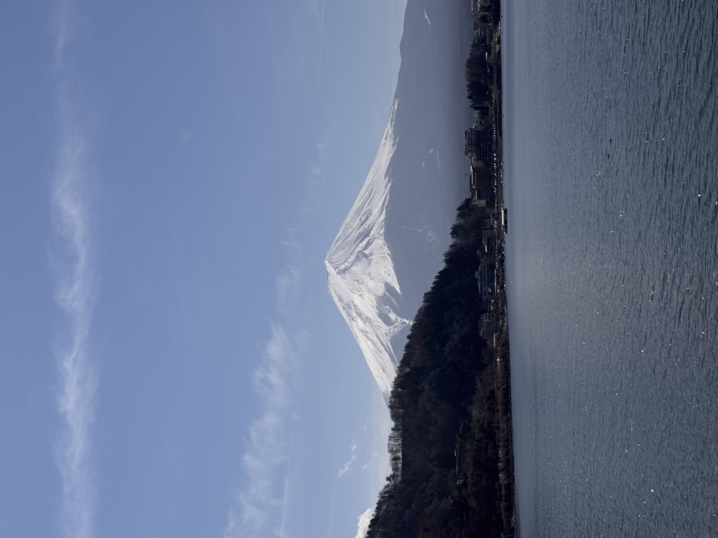
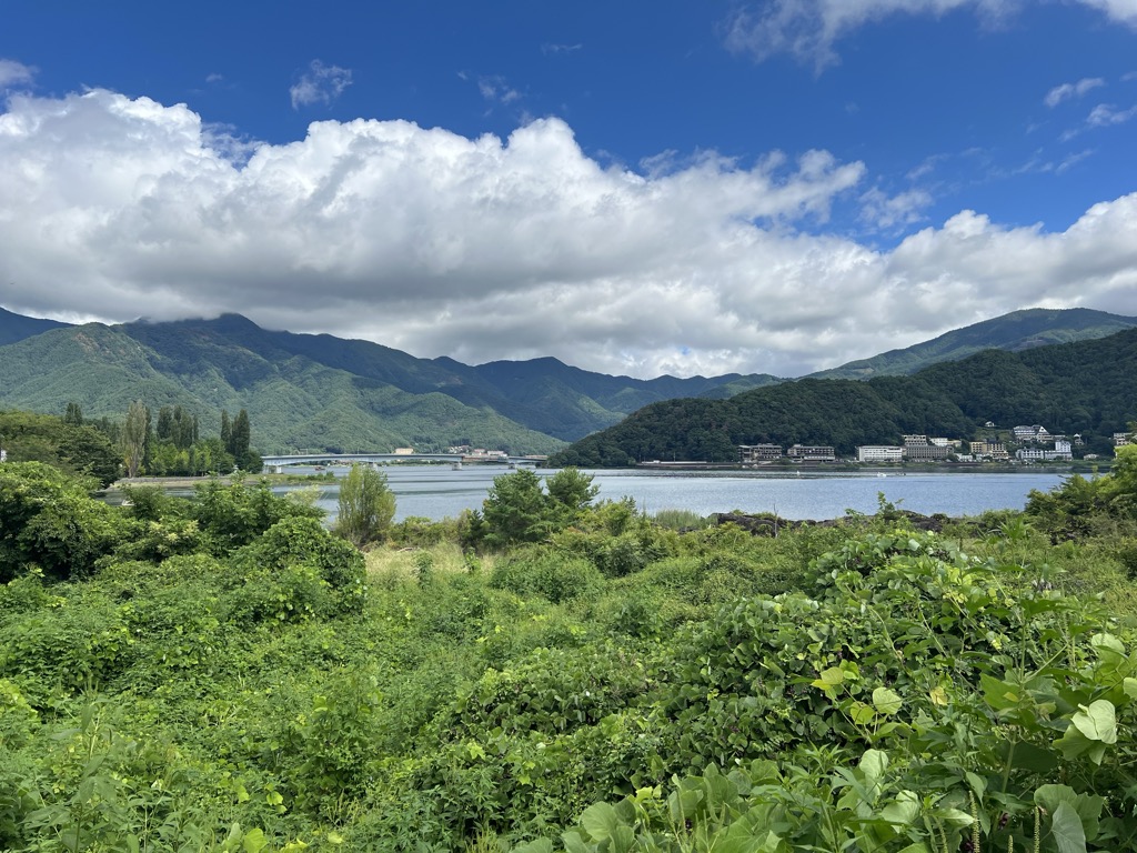
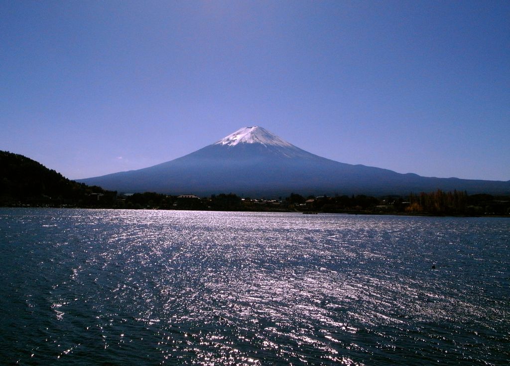
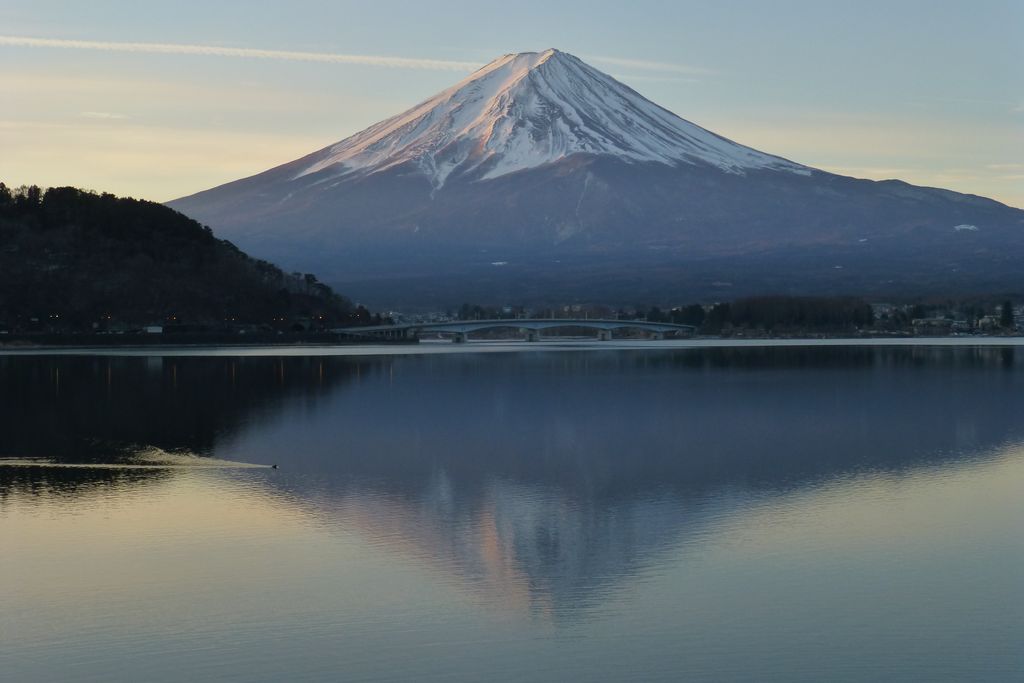
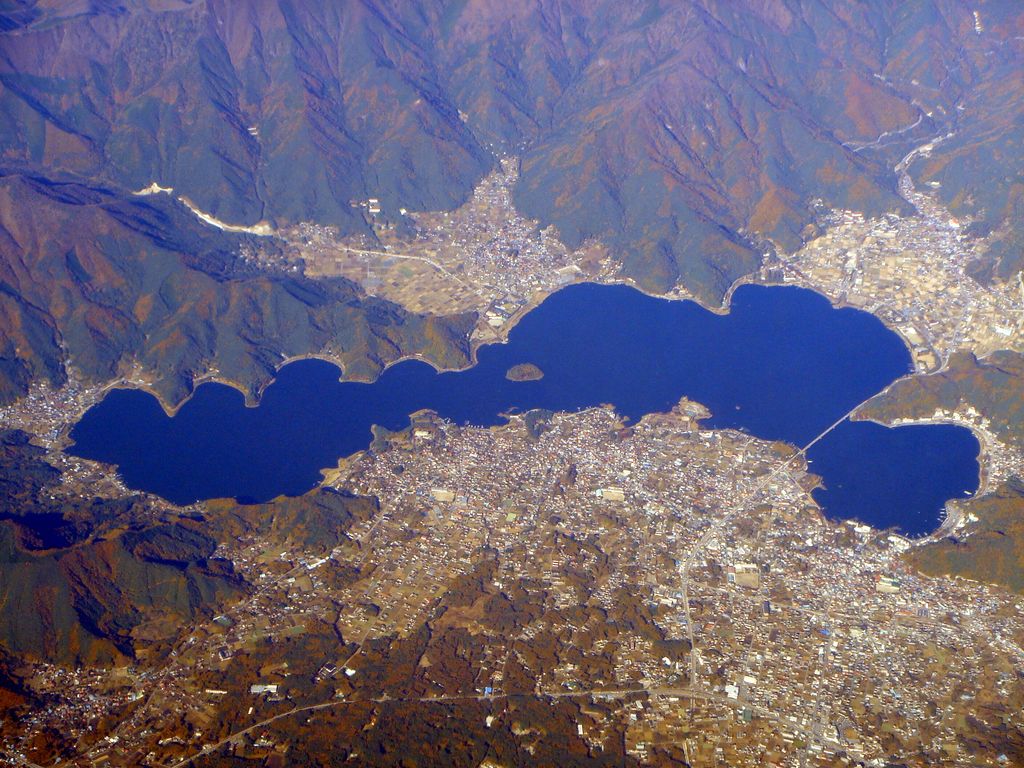
Lake Kawaguchi (河口湖, Kawaguchi-ko, literally 'Estuary Lake') is located in the town of Fujikawaguchiko in southern Yamanashi Prefecture near Mount Fuji, Japan. It is the second largest of the Fuji Five Lakes in terms of surface area, and is located at the lowest elevation. It is situated at an altitude of approximately 800 metres (2,625 ft), which accounts for its relatively cool summers and frequently icy winters. It also has the longest shoreline of any of the Fuji Five Lakes. The lake is within the borders of the Fuji-Hakone-Izu National Park. The lake has no natural outlet, and flooding of settlements on its shores was a problem until the construction of a canal, completed in 1914, to connect it to a tributary of the Sagami River. As with the other Fuji Five Lakes, the area is a popular resort, with many lakeside hotels, windsurfing facilities, camp sites, and excursion boats. Japanese white crucian carp and wakasagi were introduced to the lake in the Meiji period, and sports fishing is also popular. Lake Kawaguchi is the most popular of the Fuji Five Lakes in terms of tourists, and has the most developed tourist infrastructure. The area also serves as a major hub for those wishing to climb Mount Fuji during the climbing season (July and August), and is also popular with photographers due to the panoramic views of the mountain from the shore. In 2013 the lake was added to the World Heritage List as part of the Fujisan Cultural Site. One of the best ways to visit the lake from Tokyo is the JR operated Limited Express Fuji Excursion. The train runs up to three times daily from Shinjuku Station. The area is also served by frequent motorway coach services from various locations in Tokyo, including Shinjuku Expressway Bus Terminal, Tokyo Station, Shibuya Mark City, etc. Most of these services are operated by Fuji Kyuko.
Show more
Sun and Moon
Mon
Tue
Wed
Thu
Fri
Sat
Sun
May 2022
Date and time
00:00
06:00
12:00
18:00
Today
--
--
Sunrise
--
Sunset
--
Moonrise
--
Moonset
Phase
🌔 Waxing Gibbous
The perfect light time for beautiful photos:
--
Sunrise
--
Sunset
PeakVisor app
Get the app on your smartphone
New Panorama Tools
Trace location on the map
Measure distances
All the instruments are available in the context menu as well.
We use GPS information embedded into the photo when it is available.
3D mountains overlay
Adjust mountain panorama to perfectly match your photos because recorded by camera photo position might be imprecise.
Move tool
Rotate tool
Zoom
More customization
Choose which peak labels should make into the final photo and what photo title should be.
Next
Photo Location
Satellitte
Flat map
Relief map
Latitude
Longitude
Altitude
OR
Latitude
°'''
Longitude
°'''
Apply
Register Peak
Peak Name
Latitude
Longitude
Altitude
Register
Teleport
PeakVisor
This 3D model of Sagarmatha National Park in Nepal was made using the PeakVisor app topographic data. The mobile app features higher precision models worldwide, more topographic details, and works offline. Download PeakVisor maps today.
Download OBJ model
PeakVisor
The download should start shortly. If you find it useful please consider supporting the PeakVisor app.
PeakVisor for iOS and Android
Be a superhero of outdoor navigation with state-of-the-art 3D maps and mountain identification in the palm of your hand!