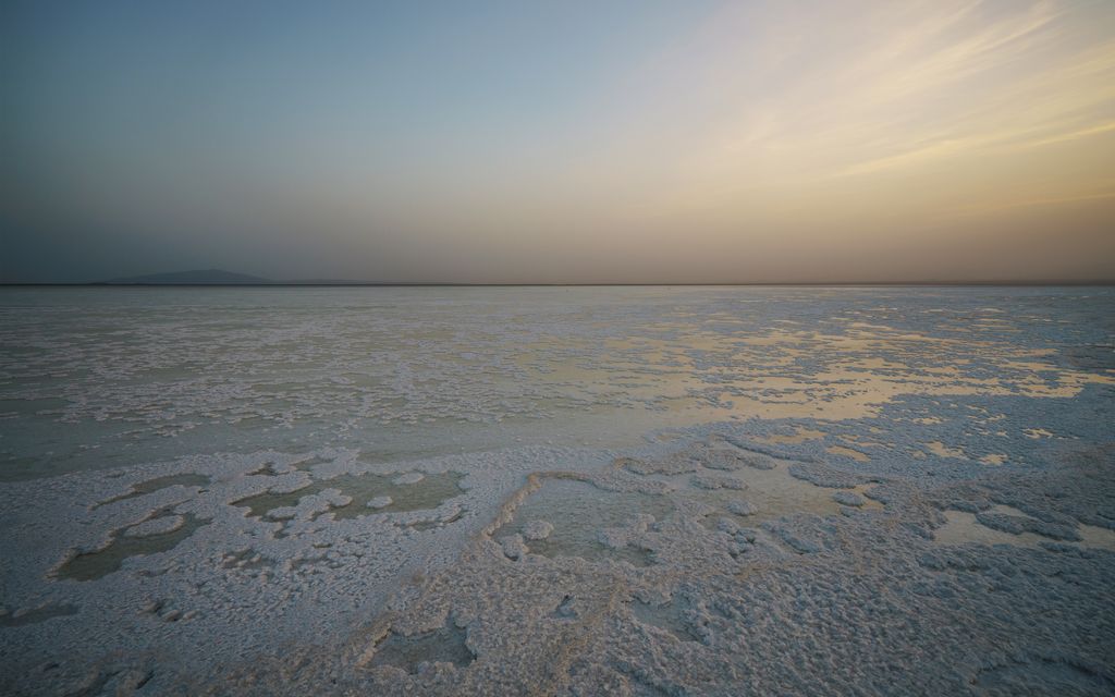
Lake Karum (also known as Lake Assale or Asale) is a salt lake in the Afar Region of Ethiopia. One of two salt lakes in the northern end of the Danakil Depression (the other one being Lake Afrera), it lies 120 m (394 ft) below sea level. The volcano Erta Ale rises southeast of this lake. Werner Munzinger, who traveled through the Afar Depression in 1867, recorded that this lake was fed by four streams: The Didic, the Ala, the Rira Guddy, and the Ragali or Awra, which is the only permanent stream flowing into Lake Karum. North of Lake Karum is the former mining-settlement of Dallol. The lake is extremely salty and is surrounded by a salt-pan, which is still mined. The salt is transported by caravan to the rest of the country.
We use GPS information embedded into the photo when it is available.
3D mountains overlay
Adjust mountain panorama to perfectly match your photos because recorded by camera photo position might be imprecise.
Move tool
Rotate tool
Zoom
More customization
Choose which peak labels should make into the final photo and what photo title should be.
Next
Photo Location
Satellitte
Flat map
Relief map
Latitude
Longitude
Altitude
OR
Latitude
°'''
Longitude
°'''
Apply
Register Peak
Peak Name
Latitude
Longitude
Altitude
Register
Teleport
PeakVisor
This 3D model of Sagarmatha National Park in Nepal was made using the PeakVisor app topographic data. The mobile app features higher precision models worldwide, more topographic details, and works offline. Download PeakVisor maps today.
Download OBJ model
PeakVisor
The download should start shortly. If you find it useful please consider supporting the PeakVisor app.
PeakVisor for iOS and Android
Be a superhero of outdoor navigation with state-of-the-art 3D maps and mountain identification in the palm of your hand!