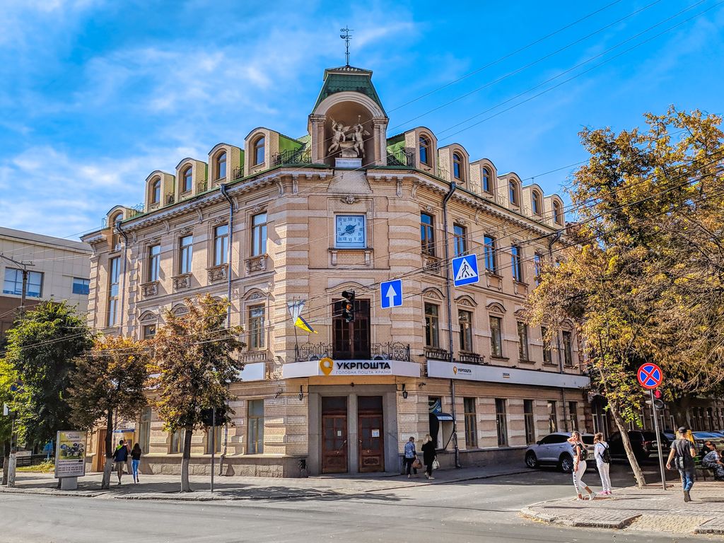
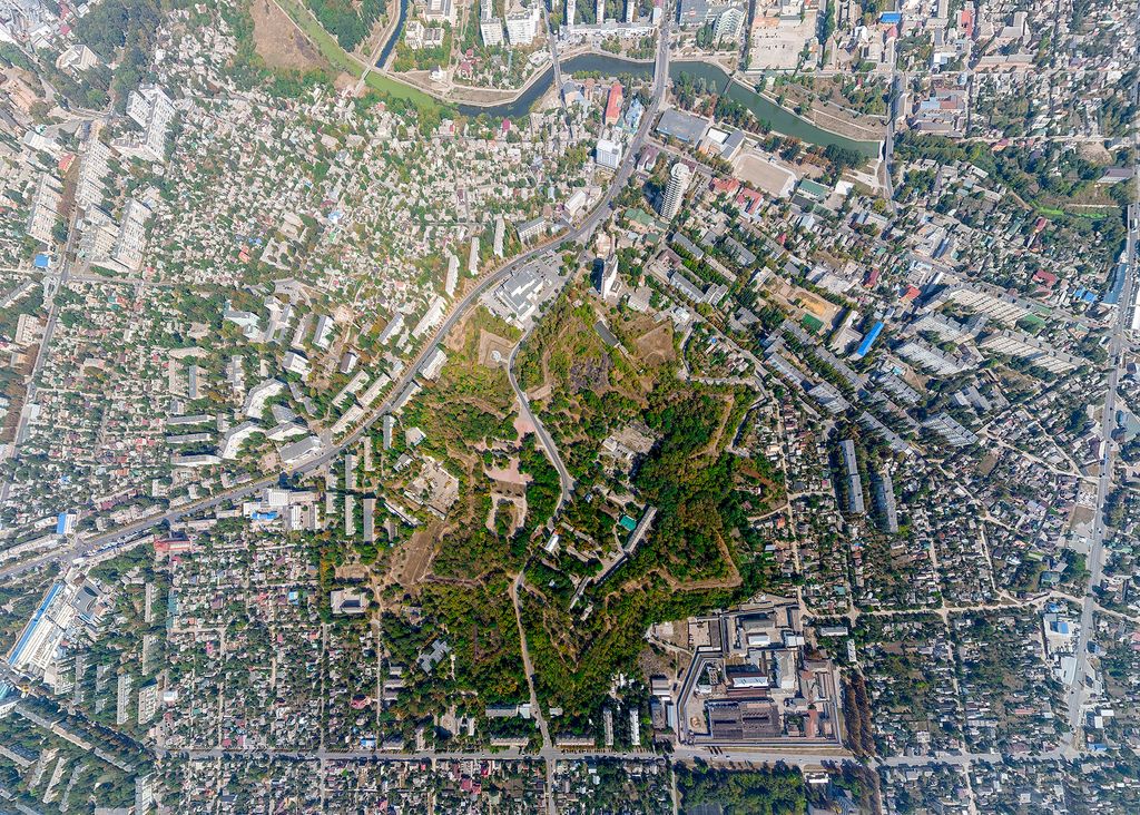
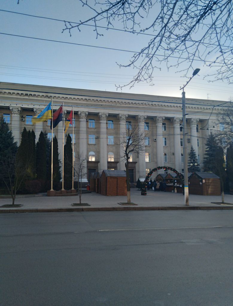
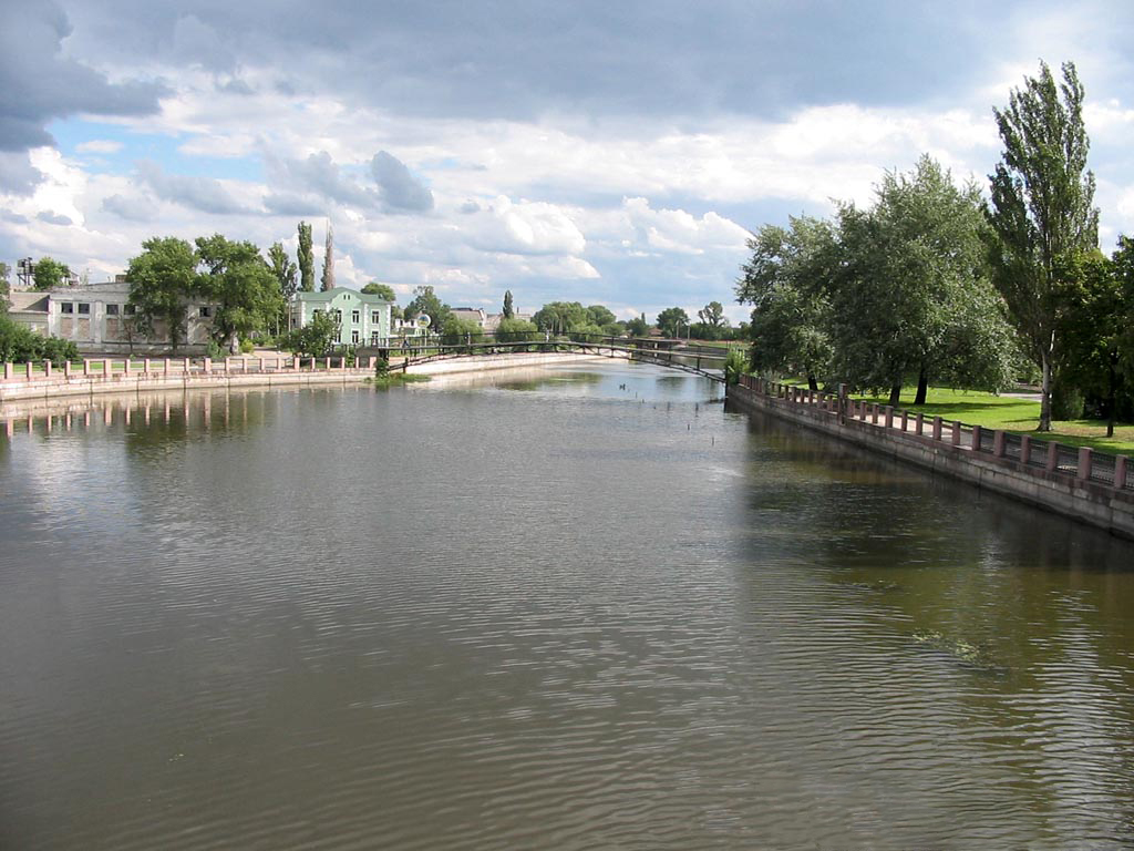
Kropyvnytskyi (Ukrainian: Кропивницький, IPA: [kropɪu̯ˈnɪtsʲkɪj] ) is a city in central Ukraine, situated on the Inhul River. It serves as the administrative center of Kirovohrad Oblast. Population: 219,676 (2022 estimate). Over its history, Kropyvnytskyi has changed its name several times. The settlement was known as Yelysavethrad (Єлисаветград, IPA: [jelɪsɑwɛtˈɦrɑd]) after Empress Elizabeth of Russia from 1752 to 1924, or simply Elysavet. In 1924, as part of the Soviet Union, it became known as Zinovievsk (Зінов'євськ, IPA: [zʲinɔu̯ˈjeu̯sʲk]) in honour of the revolutionary Grigory Zinoviev, who was born there. Following the assassination of Sergei Kirov in 1934, the town was renamed Kirovo (Кірово, IPA: [ˈkirowɔ]) in his honour. Concurrently with the formation of Kirovohrad Oblast on 10 January 1939, and to distinguish it from Kirov Oblast in central Russia, Kirovo was renamed Kirovohrad (Кіровоград, IPA: [kirowɔˈɦrɑd]). As part of independent Ukraine, the name of the city was then changed to Kropyvnytskyi in 2016 due to decommunization laws, in honour of Marko Kropyvnytskyi, who was born near the city. However, Kirovohrad Oblast was not renamed because it is mentioned in the Constitution of Ukraine – only a constitutional amendment could change the name of the oblast. During the Ukrainian presidential election of 2004 the city achieved country-wide notoriety due to mass election fraud committed by local authorities and after that became known as District 100 (its community number according to the Central Elections Committee). Notable figures born in the city include Grigory Zinoviev, Volodymyr Vynnychenko, Arseny Tarkovsky, Afrikan Spir, Marko Kropyvnytskyi, and others.
Show more
Sun and Moon
Mon
Tue
Wed
Thu
Fri
Sat
Sun
May 2022
Date and time
00:00
06:00
12:00
18:00
Today
--
--
Sunrise
--
Sunset
--
Moonrise
--
Moonset
Phase
🌔 Waxing Gibbous
The perfect light time for beautiful photos:
--
Sunrise
--
Sunset
PeakVisor app
Get the app on your smartphone
New Panorama Tools
Trace location on the map
Measure distances
All the instruments are available in the context menu as well.
We use GPS information embedded into the photo when it is available.
3D mountains overlay
Adjust mountain panorama to perfectly match your photos because recorded by camera photo position might be imprecise.
Move tool
Rotate tool
Zoom
More customization
Choose which peak labels should make into the final photo and what photo title should be.
Next
Photo Location
Satellitte
Flat map
Relief map
Latitude
Longitude
Altitude
OR
Latitude
°'''
Longitude
°'''
Apply
Register Peak
Peak Name
Latitude
Longitude
Altitude
Register
Teleport
PeakVisor
This 3D model of Sagarmatha National Park in Nepal was made using the PeakVisor app topographic data. The mobile app features higher precision models worldwide, more topographic details, and works offline. Download PeakVisor maps today.
Download OBJ model
PeakVisor
The download should start shortly. If you find it useful please consider supporting the PeakVisor app.
PeakVisor for iOS and Android
Be a superhero of outdoor navigation with state-of-the-art 3D maps and mountain identification in the palm of your hand!


%2C_33.jpg)