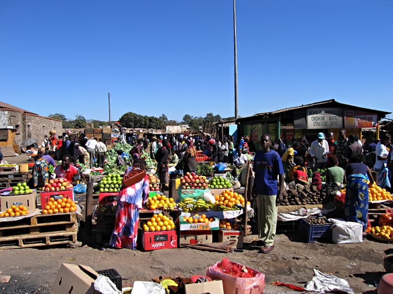
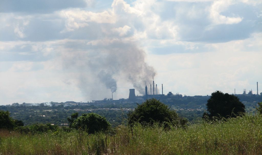
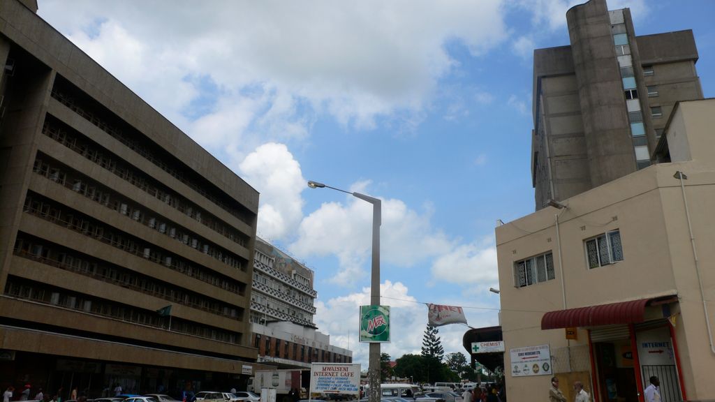
Kitwe is the third largest city in terms of infrastructure development (after Lusaka and Ndola) and second largest city in terms of size and population (after Lusaka) in Zambia. With a population of 517,543 (2010 census provisional) Kitwe is one of the most developed commercial and industrial areas in the nation, alongside Ndola and Lusaka. It has a complex of mines on its north-western and western edges. Kitwe is located in the Copperbelt Province and is made up of townships and suburban areas including Parklands, Riverside, Buchi, Chimwemwe, Kwacha, Nkana East, Nkana West, Garneton, Ndeke, Miseshi, Wusakile, Mindolo, Chachacha and Race Course, to mention a few. The city is sometimes referred to as Kitwe-Nkana. Nkana is derived from the name of Senior Chief Nkana of the Lamba speaking people of the Copperbelt province. His area covers the towns of Kitwe, Mufulira, Kalulushi-Chibuluma and Chambishi. Kitwe has both private and public schools which include Lechwe School, Mpelembe Secondary School, Kitwe Boys Secondary School, Parklands Secondary School, Mukuba Secondary School, Nkana Trust School and Helen Kaunda Secondary School. It is also home to Zambia's second highest learning institution, namely The Copperbelt University.
Show more
Sun and Moon
Mon
Tue
Wed
Thu
Fri
Sat
Sun
May 2022
Date and time
00:00
06:00
12:00
18:00
Today
--
--
Sunrise
--
Sunset
--
Moonrise
--
Moonset
Phase
🌔 Waxing Gibbous
The perfect light time for beautiful photos:
--
Sunrise
--
Sunset
PeakVisor app
Get the app on your smartphone
New Panorama Tools
Trace location on the map
Measure distances
All the instruments are available in the context menu as well.
We use GPS information embedded into the photo when it is available.
3D mountains overlay
Adjust mountain panorama to perfectly match your photos because recorded by camera photo position might be imprecise.
Move tool
Rotate tool
Zoom
More customization
Choose which peak labels should make into the final photo and what photo title should be.
Next
Photo Location
Satellitte
Flat map
Relief map
Latitude
Longitude
Altitude
OR
Latitude
°'''
Longitude
°'''
Apply
Register Peak
Peak Name
Latitude
Longitude
Altitude
Register
Teleport
PeakVisor
This 3D model of Sagarmatha National Park in Nepal was made using the PeakVisor app topographic data. The mobile app features higher precision models worldwide, more topographic details, and works offline. Download PeakVisor maps today.
Download OBJ model
PeakVisor
The download should start shortly. If you find it useful please consider supporting the PeakVisor app.
PeakVisor for iOS and Android
Be a superhero of outdoor navigation with state-of-the-art 3D maps and mountain identification in the palm of your hand!