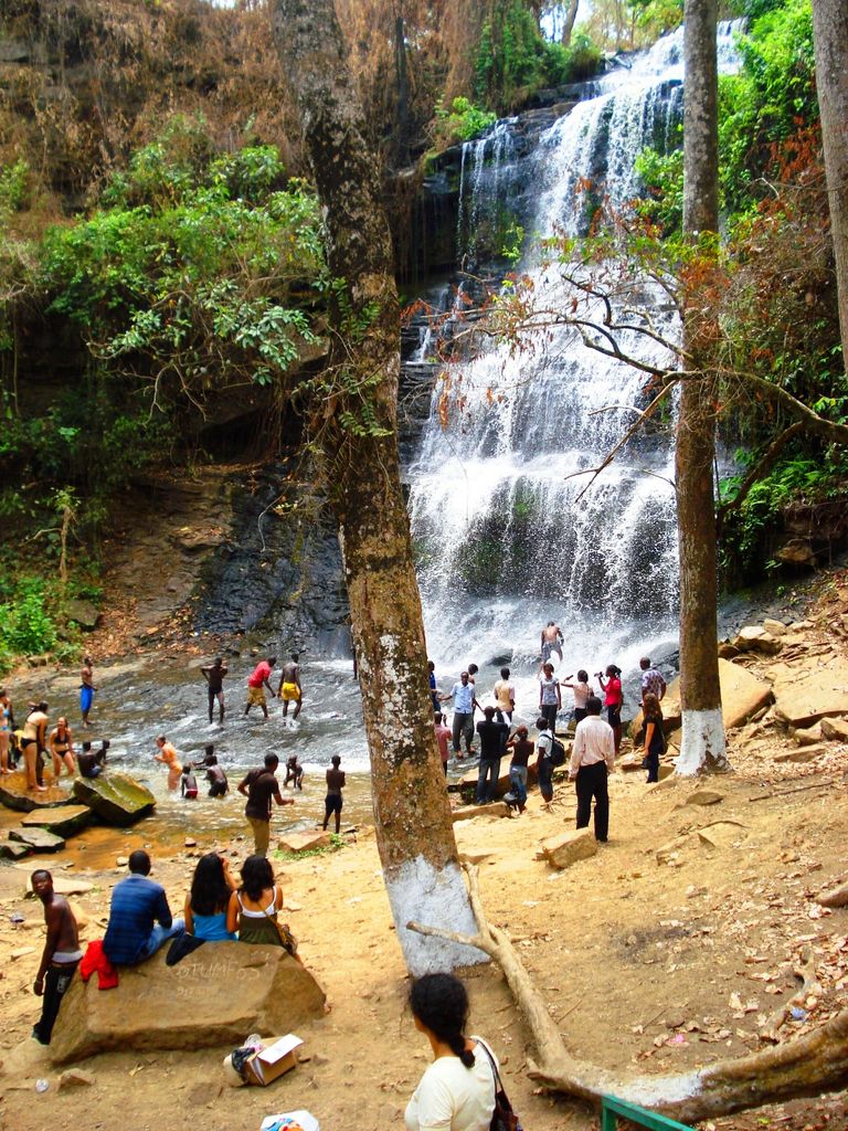
Kintampo is a town and tourist destination in the Bono East Region of Ghana. It became the capital of Kintampo North Municipal in 2004. Kintampo has a population of 111 000. It also served as the capital of the former Kintampo District. Kintampo also has Senior High Schools (KINSS) which is located at Kyeremankoma, has participated in the National Science Quiz on numerous occasions. Modern Senior High School (MODESS). Kintampo Technical Institute- KINTECH and Centre College Senior High School. There is a college of health called Kintampo College of Health and Well-being (CoHK) in the town, which is proposed to become a full fledge University. Most of the population in Kintampo are farmers, with production focused on yams, maize, legumes, tubers and other vegetables. Both the Bono and the Mo tribe are indigenous to the town and shares traditional land boundaries. Kintampo is a cosmopolitan town, apart from the indigenous tribe, other settler tribes like the Wangaras, Gonjas , Konkombas and others are also inhabitants of the town. The annual Benkadi Kurubi festival of the Wangara community in Ghana always takes place at Kintampo.
Show more
Sun and Moon
Mon
Tue
Wed
Thu
Fri
Sat
Sun
May 2022
Date and time
00:00
06:00
12:00
18:00
Today
--
--
Sunrise
--
Sunset
--
Moonrise
--
Moonset
Phase
🌔 Waxing Gibbous
The perfect light time for beautiful photos:
--
Sunrise
--
Sunset
PeakVisor app
Get the app on your smartphone
New Panorama Tools
Trace location on the map
Measure distances
All the instruments are available in the context menu as well.
We use GPS information embedded into the photo when it is available.
3D mountains overlay
Adjust mountain panorama to perfectly match your photos because recorded by camera photo position might be imprecise.
Move tool
Rotate tool
Zoom
More customization
Choose which peak labels should make into the final photo and what photo title should be.
Next
Photo Location
Satellitte
Flat map
Relief map
Latitude
Longitude
Altitude
OR
Latitude
°'''
Longitude
°'''
Apply
Register Peak
Peak Name
Latitude
Longitude
Altitude
Register
Teleport
PeakVisor
This 3D model of Sagarmatha National Park in Nepal was made using the PeakVisor app topographic data. The mobile app features higher precision models worldwide, more topographic details, and works offline. Download PeakVisor maps today.
Download OBJ model
PeakVisor
The download should start shortly. If you find it useful please consider supporting the PeakVisor app.
PeakVisor for iOS and Android
Be a superhero of outdoor navigation with state-of-the-art 3D maps and mountain identification in the palm of your hand!