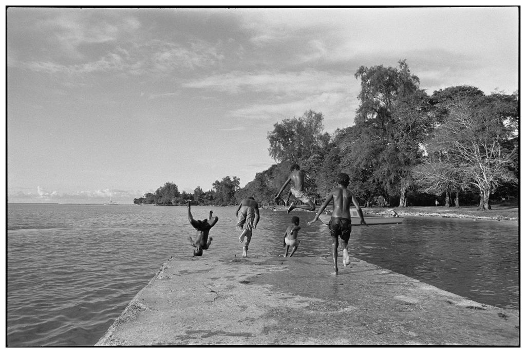
Kavieng is the capital of the Papua New Guinean province of New Ireland and the largest town on the island of the same name. The town is located at Balgai Bay, on the northern tip of the island. As of 2009, it had a population of 17,248. Kavieng is the main port for New Ireland, and is both a trading and tourist destination. Several dive companies operate from the town, as the area is known for its diving, both for natural sites and wrecks dating from the Second World War. There are plane and shipwrecks in Kavieng Harbor itself, as well as several more nearby. The town is serviced by Kavieng Airport, with daily connections to Port Moresby. It lies at one end of the Boluminski Highway which runs 293 kilometres (182 mi) of sealed road to Namatanai. Kavieng has all the usual services of a local administrative center: local government offices; shopping; hotels (such as the Kavieng Hotel, the Malagan Beach Resort hotel and the Kavieng Club (the former "colonial club" in the town)); a hospital providing general medical, pediatric and surgical services; and a weekly market. There is also a large wharf for copra export on the town's edge, which allow deep-water ships to load copra and oil directly from land. Visible from Kavieng are the many islands of the archipelago lying between New Ireland and New Hanover, including Nusa Lik, Nusa Lawa, and Nango Island (which was formerly the site of a fish cannery in the 1960s and 1970s). Nango is also the site of a new marine research center for the PNG National Fisheries Authority. Its opening was overseen by the Governor-General of PNG, Mr. Paulius Matane, in July 2009.
Show more
Sun and Moon
Mon
Tue
Wed
Thu
Fri
Sat
Sun
May 2022
Date and time
00:00
06:00
12:00
18:00
Today
--
--
Sunrise
--
Sunset
--
Moonrise
--
Moonset
Phase
🌔 Waxing Gibbous
The perfect light time for beautiful photos:
--
Sunrise
--
Sunset
PeakVisor app
Get the app on your smartphone
New Panorama Tools
Trace location on the map
Measure distances
All the instruments are available in the context menu as well.
We use GPS information embedded into the photo when it is available.
3D mountains overlay
Adjust mountain panorama to perfectly match your photos because recorded by camera photo position might be imprecise.
Move tool
Rotate tool
Zoom
More customization
Choose which peak labels should make into the final photo and what photo title should be.
Next
Photo Location
Satellitte
Flat map
Relief map
Latitude
Longitude
Altitude
OR
Latitude
°'''
Longitude
°'''
Apply
Register Peak
Peak Name
Latitude
Longitude
Altitude
Register
Teleport
PeakVisor
This 3D model of Sagarmatha National Park in Nepal was made using the PeakVisor app topographic data. The mobile app features higher precision models worldwide, more topographic details, and works offline. Download PeakVisor maps today.
Download OBJ model
PeakVisor
The download should start shortly. If you find it useful please consider supporting the PeakVisor app.
PeakVisor for iOS and Android
Be a superhero of outdoor navigation with state-of-the-art 3D maps and mountain identification in the palm of your hand!