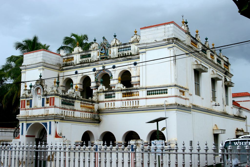
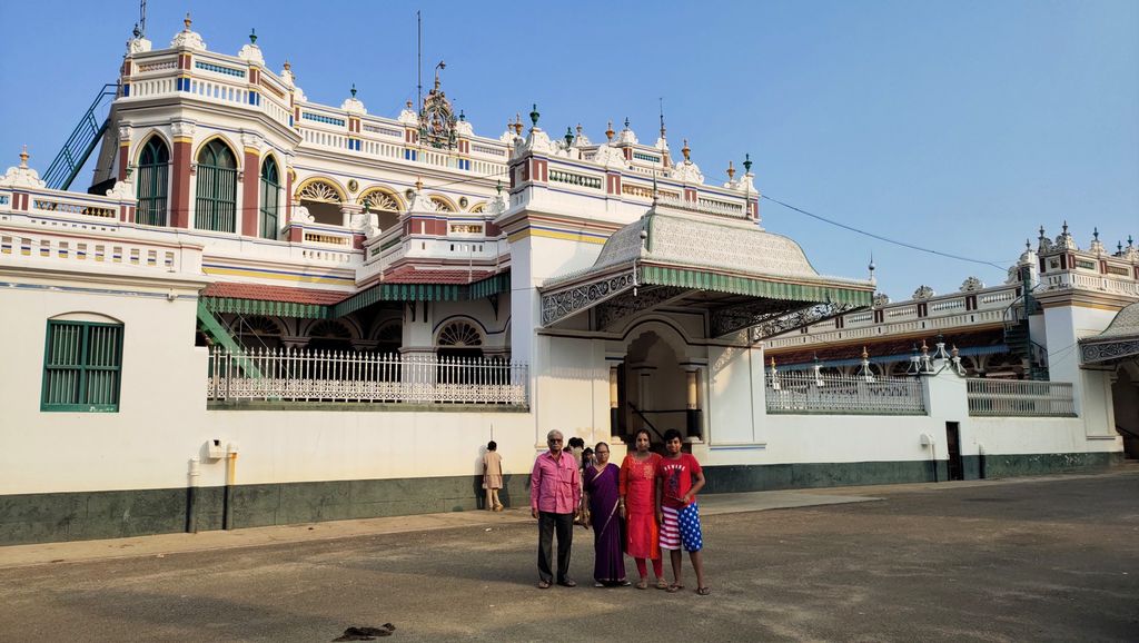
Karaikudi is the largest city in Sivaganga district in the Indian state of Tamil Nadu. Karaikudi Municipal Corporation is the 21st largest urban agglomeration of Tamil Nadu based on 2011 census data. It is part of the area commonly referred to as "Chettinad" and has been declared a City Municipal Corporation by the Government of Tamil Nadu, on account of the palatial houses built with limestone called Kaarai veedu. For this reason, the place is sometimes called Kaarai Nagar locally. The extended urban limit spreads about 115 km2 (44 sq mi) which undergoes major developments as part of Government Schemes. Karaikudi comes under the Karaikudi Assembly constituency, which elects a member to the Tamil Nadu Legislative Assembly once every five years, and it is a part of the Sivaganga Lok Sabha constituency, which elects its member of parliament (MP) once in five years. The town is administered by the greater Karaikudi special grade municipality. This metropolitan Urban Agglomeration(UA) had a population of 181,851 of which 90,799 were males and 91,052 were females in 2011. This metropolitan area consists of Karaikudi City Corporation which includes its neighbourhood towns like Kottaiyur, Koviloor, Kandanur, Puduvayal, and Sankarapuram (census town) and villages like Amaravathiputhur, Ariyakudi, Iluppakkudi, Managiri, Mathur, Peyampatti, Thiruvelangudi and Soorakudi. This city is famous for Karaikudi Kandangi sarees a special type of sarees which come from and are woven in this area. The geographical indication presents the government of India of this Kandangi sarees. The Chettinad cuisine originated in the areas around Karaikudi. It is one of the few towns and cities in List of AMRUT Smart cities in Tamil Nadu selected for AMRUT Schemes from central government and the developmental activities are taken care by the government of Tamil Nadu.
We use GPS information embedded into the photo when it is available.
3D mountains overlay
Adjust mountain panorama to perfectly match your photos because recorded by camera photo position might be imprecise.
Move tool
Rotate tool
Zoom
More customization
Choose which peak labels should make into the final photo and what photo title should be.
Next
Photo Location
Satellitte
Flat map
Relief map
Latitude
Longitude
Altitude
OR
Latitude
°'''
Longitude
°'''
Apply
Register Peak
Peak Name
Latitude
Longitude
Altitude
Register
Teleport
PeakVisor
This 3D model of Sagarmatha National Park in Nepal was made using the PeakVisor app topographic data. The mobile app features higher precision models worldwide, more topographic details, and works offline. Download PeakVisor maps today.
Download OBJ model
PeakVisor
The download should start shortly. If you find it useful please consider supporting the PeakVisor app.
PeakVisor for iOS and Android
Be a superhero of outdoor navigation with state-of-the-art 3D maps and mountain identification in the palm of your hand!