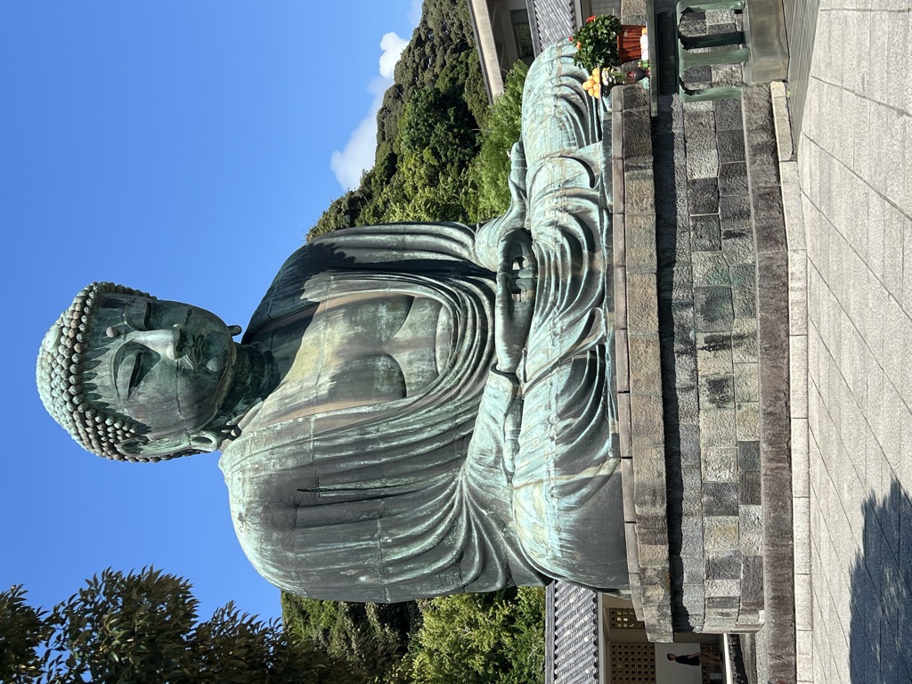
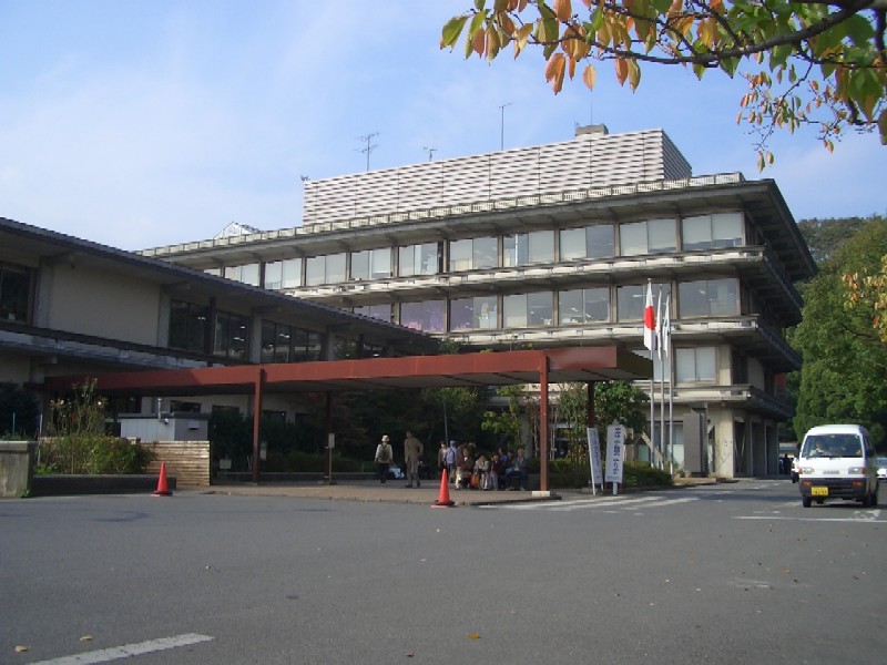
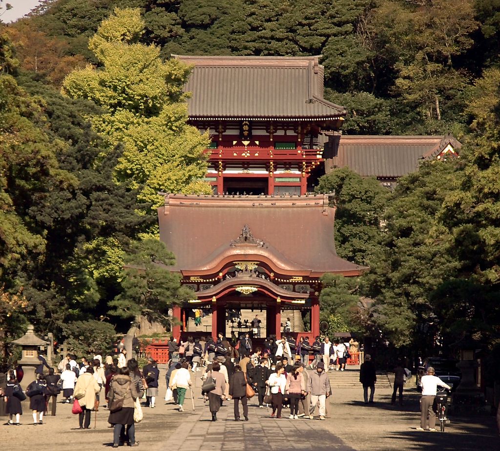
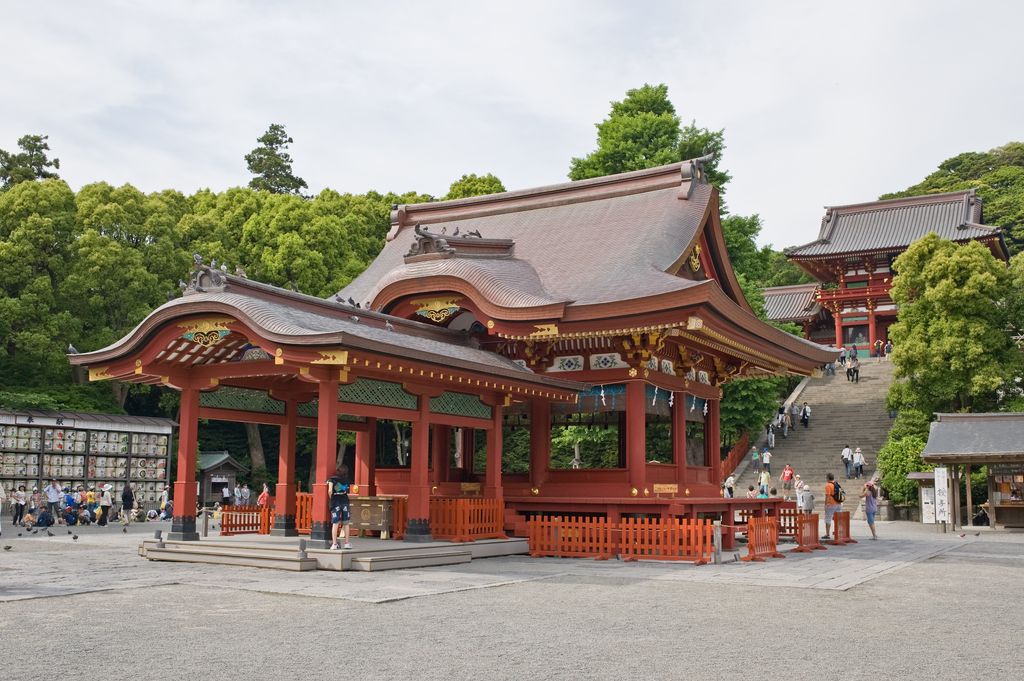
Kamakura (鎌倉, Kamakura, [kamakɯɾa] ) officially Kamakura City (鎌倉市, Kamakura-shi) is a city of Kanagawa Prefecture in Japan. It is located in the Kanto region on the island of Honshu. The city has an estimated population of 172,929 (1 September 2020) and a population density of 4,359 people per km2 over the total area of 39.67 km2 (15.32 sq mi). Kamakura was designated as a city on 3 November 1939. Kamakura is one of Japan's ancient capitals, alongside Kyoto and Nara, and it served as the seat of the Kamakura shogunate from 1185 to 1333, established by Minamoto no Yoritomo. It was the first military government in Japan's history. After the downfall of the shogunate, Kamakura saw a temporary decline. However, during the Edo period, it regained popularity as a tourist destination among the townspeople of Edo. Despite suffering significant losses of historical and cultural assets due to the Great Kantō Earthquake in 1923, Kamakura continues to be one of the major tourist attractions in the Kanto region, known for its historical landmarks such as Tsurugaoka Hachimangū and the Great Buddha of Kamakura.
Show more
Sun and Moon
Mon
Tue
Wed
Thu
Fri
Sat
Sun
May 2022
Date and time
00:00
06:00
12:00
18:00
Today
--
--
Sunrise
--
Sunset
--
Moonrise
--
Moonset
Phase
🌔 Waxing Gibbous
The perfect light time for beautiful photos:
--
Sunrise
--
Sunset
PeakVisor app
Get the app on your smartphone
New Panorama Tools
Trace location on the map
Measure distances
All the instruments are available in the context menu as well.
We use GPS information embedded into the photo when it is available.
3D mountains overlay
Adjust mountain panorama to perfectly match your photos because recorded by camera photo position might be imprecise.
Move tool
Rotate tool
Zoom
More customization
Choose which peak labels should make into the final photo and what photo title should be.
Next
Photo Location
Satellitte
Flat map
Relief map
Latitude
Longitude
Altitude
OR
Latitude
°'''
Longitude
°'''
Apply
Register Peak
Peak Name
Latitude
Longitude
Altitude
Register
Teleport
PeakVisor
This 3D model of Sagarmatha National Park in Nepal was made using the PeakVisor app topographic data. The mobile app features higher precision models worldwide, more topographic details, and works offline. Download PeakVisor maps today.
Download OBJ model
PeakVisor
The download should start shortly. If you find it useful please consider supporting the PeakVisor app.
PeakVisor for iOS and Android
Be a superhero of outdoor navigation with state-of-the-art 3D maps and mountain identification in the palm of your hand!