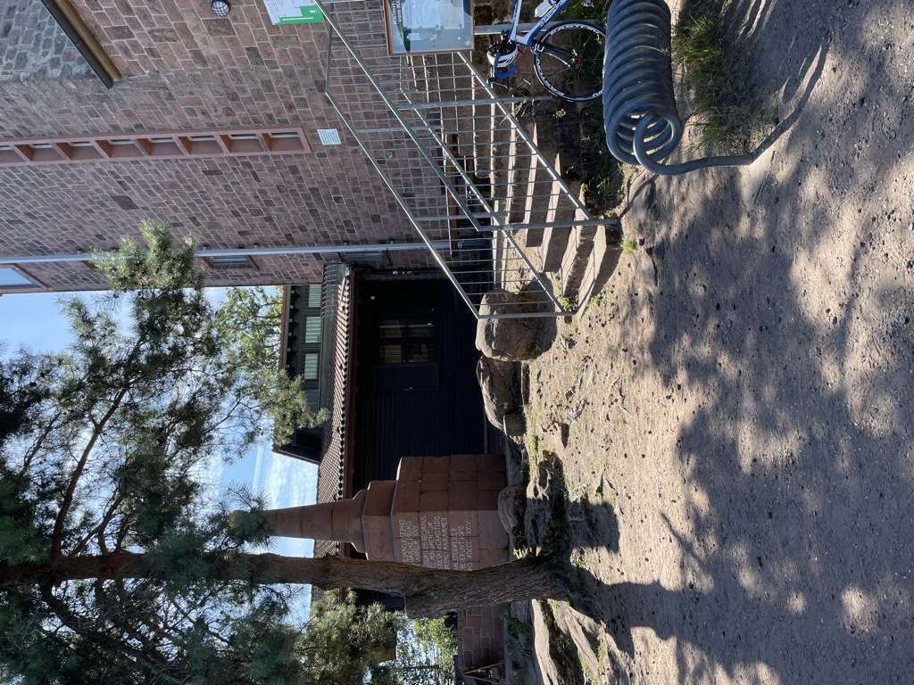
The Kalmithaus, also called the Ludwigshafener Hut, near Maikammer in the Rhineland-Palatinate county of Südliche Weinstraße is a refuge hut in the Palatinate Forest run by the Ludwigshafen-Mannheim branch of the Palatinate Forest Club. It is located in the southern part of the Haardt mountains at the summit of its highest peak, the Kalmit (672.6 m above sea level (NHN)), and is thus the highest hut in the Palatinate Forest. From its terrace there is "a splendid view of the Upper Rhine Plain and German Wine Road as far as the foothills of the southern Odenwald and northern Black Forest. Immediately next to the hut is the observation tower on the Kalmit, which is out of bounds to the public, and houses a radio relay station, a weather station and a visibility survey station.
We use GPS information embedded into the photo when it is available.
3D mountains overlay
Adjust mountain panorama to perfectly match your photos because recorded by camera photo position might be imprecise.
Move tool
Rotate tool
Zoom
More customization
Choose which peak labels should make into the final photo and what photo title should be.
Next
Photo Location
Satellitte
Flat map
Relief map
Latitude
Longitude
Altitude
OR
Latitude
°'''
Longitude
°'''
Apply
Register Peak
Peak Name
Latitude
Longitude
Altitude
Register
Teleport
PeakVisor
This 3D model of Sagarmatha National Park in Nepal was made using the PeakVisor app topographic data. The mobile app features higher precision models worldwide, more topographic details, and works offline. Download PeakVisor maps today.
Download OBJ model
PeakVisor
The download should start shortly. If you find it useful please consider supporting the PeakVisor app.
PeakVisor for iOS and Android
Be a superhero of outdoor navigation with state-of-the-art 3D maps and mountain identification in the palm of your hand!