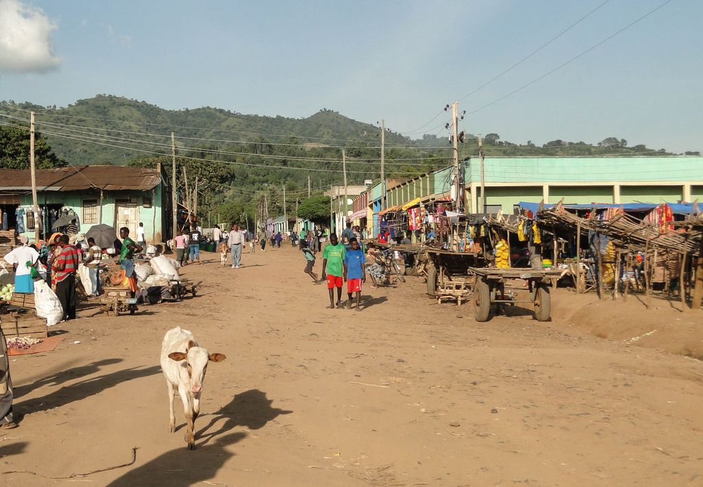
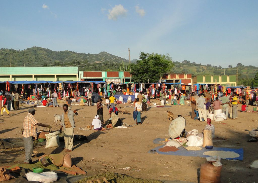
Jinka is a market town in southern Ethiopia. Located in the hills north of the Tama Plains, this town is the capital of the South Omo Zone of the Southern Nations, Nationalities, and Peoples Region. Currently Jinka is the center of Jinka town administration. Jinka has a latitude and longitude of 5°47′N 36°34′E and an elevation of 1490 meters above sea level. It is one of the most famous tourist destinations in the country. It is also an important center for at least sixteen indigenous ethnic groups as well as others from the rest of the country.
We use GPS information embedded into the photo when it is available.
3D mountains overlay
Adjust mountain panorama to perfectly match your photos because recorded by camera photo position might be imprecise.
Move tool
Rotate tool
Zoom
More customization
Choose which peak labels should make into the final photo and what photo title should be.
Next
Photo Location
Satellitte
Flat map
Relief map
Latitude
Longitude
Altitude
OR
Latitude
°'''
Longitude
°'''
Apply
Register Peak
Peak Name
Latitude
Longitude
Altitude
Register
Teleport
PeakVisor
This 3D model of Sagarmatha National Park in Nepal was made using the PeakVisor app topographic data. The mobile app features higher precision models worldwide, more topographic details, and works offline. Download PeakVisor maps today.
Download OBJ model
PeakVisor
The download should start shortly. If you find it useful please consider supporting the PeakVisor app.
PeakVisor for iOS and Android
Be a superhero of outdoor navigation with state-of-the-art 3D maps and mountain identification in the palm of your hand!