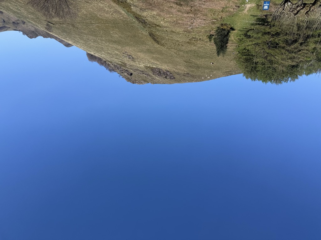
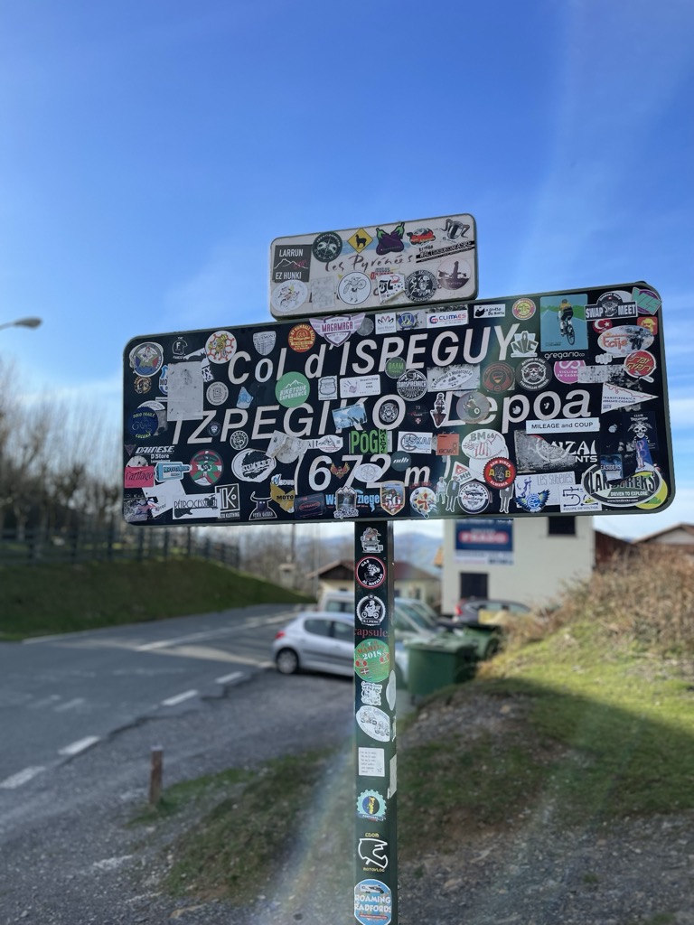
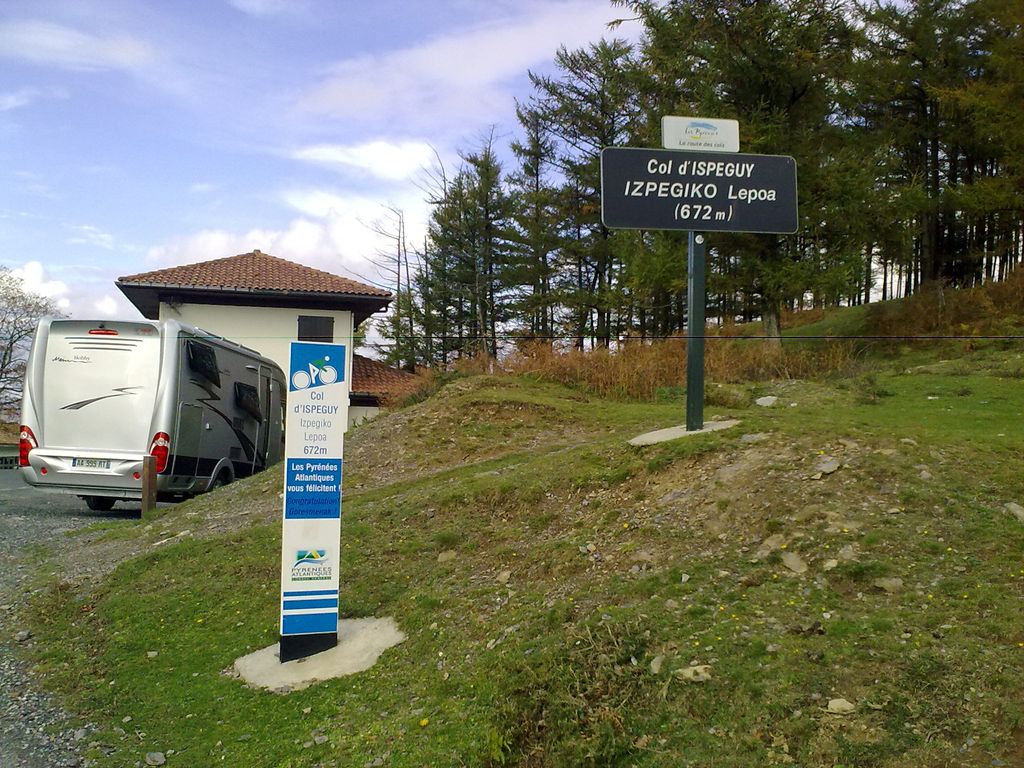
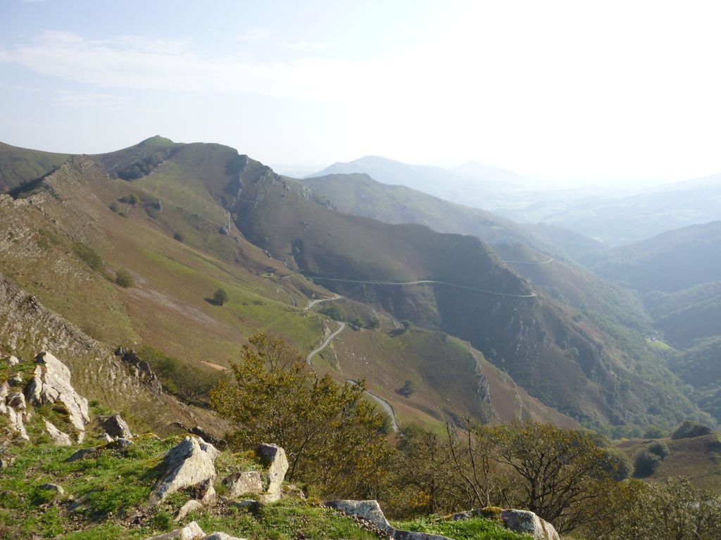
The Izpegi Pass (French: Col d'Ispeguy, Basque: Izpegiko Lepoa, Spanish: Puerto de Izpegui) is a 672 m high Pyrenean mountain pass located right on the border between Spain and France, linking the Baztan and Baigorri valleys in the Basque Country. The river Bidasoa, called Baztan on its upper stage, rises close by on the western side of the Iparla mountain range stretching out north to south. The name Izpegi applies also to a stream running on its eastern slopes. The population nuclei closest to the saddle are the village of Erratzu (west) and Saint-Étienne-de-Baïgorry (east, Baigorri in Basque). A sinuous narrow road that bears witness to a couple of Tour de France stages descends east to Saint-Étienne-de-Baïgorry, cutting its way through a spectacular grassy and giddy landscape. The pass is frequented by hikers in order to gain access to the neighbouring mountain Hautza (1,306 m / 4,285 ft, waymarking all along) and other mounts of the ridgeline (Mount Iparla). Since the mid-2000s, a modest txalaparta festival is held at the spot on the first Sunday of September, which has become a meeting point for the instrument's players, especially locals. Money raised at the food stall arranged was destined in 2009 to helping the Basque language school of the neighbouring small town of Baigorri.
We use GPS information embedded into the photo when it is available.
3D mountains overlay
Adjust mountain panorama to perfectly match your photos because recorded by camera photo position might be imprecise.
Move tool
Rotate tool
Zoom
More customization
Choose which peak labels should make into the final photo and what photo title should be.
Next
Photo Location
Satellitte
Flat map
Relief map
Latitude
Longitude
Altitude
OR
Latitude
°'''
Longitude
°'''
Apply
Register Peak
Peak Name
Latitude
Longitude
Altitude
Register
Teleport
PeakVisor
This 3D model of Sagarmatha National Park in Nepal was made using the PeakVisor app topographic data. The mobile app features higher precision models worldwide, more topographic details, and works offline. Download PeakVisor maps today.
Download OBJ model
PeakVisor
The download should start shortly. If you find it useful please consider supporting the PeakVisor app.
PeakVisor for iOS and Android
Be a superhero of outdoor navigation with state-of-the-art 3D maps and mountain identification in the palm of your hand!