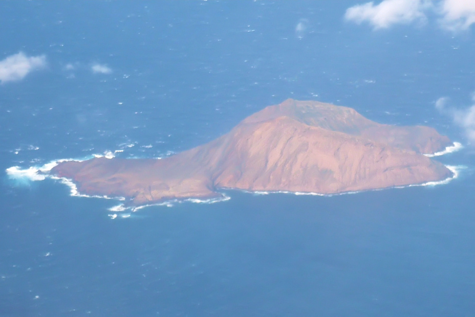
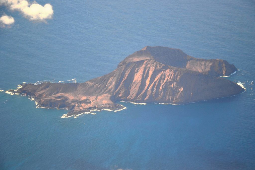
Montaña Clara (pronounced [monˈtaɲa ˈklaɾa]) (Spanish meaning "light-colored mountain") is a small uninhabited islet belonging to the Chinijo Archipelago, in the northeastern part of the Canary Islands, only a short distance (about 2 km (1.2 mi)) northwest of La Graciosa. The islet area is only 1.33 km2. The highest point of the island is 256 m (840 ft) above sea level. Being a refuge for marine birds, the island is part of the integral nature reserve Los Islotes, which is part of the natural park Chinijo Archipelago. In August 2007 the island was offered for sale by the heirs to the last owner, Mariano López Socas, who was mayor of a small Lanzarote town for 9 million euros.
We use GPS information embedded into the photo when it is available.
3D mountains overlay
Adjust mountain panorama to perfectly match your photos because recorded by camera photo position might be imprecise.
Move tool
Rotate tool
Zoom
More customization
Choose which peak labels should make into the final photo and what photo title should be.
Next
Photo Location
Satellitte
Flat map
Relief map
Latitude
Longitude
Altitude
OR
Latitude
°'''
Longitude
°'''
Apply
Register Peak
Peak Name
Latitude
Longitude
Altitude
Register
Teleport
PeakVisor
This 3D model of Sagarmatha National Park in Nepal was made using the PeakVisor app topographic data. The mobile app features higher precision models worldwide, more topographic details, and works offline. Download PeakVisor maps today.
Download OBJ model
PeakVisor
The download should start shortly. If you find it useful please consider supporting the PeakVisor app.
PeakVisor for iOS and Android
Be a superhero of outdoor navigation with state-of-the-art 3D maps and mountain identification in the palm of your hand!