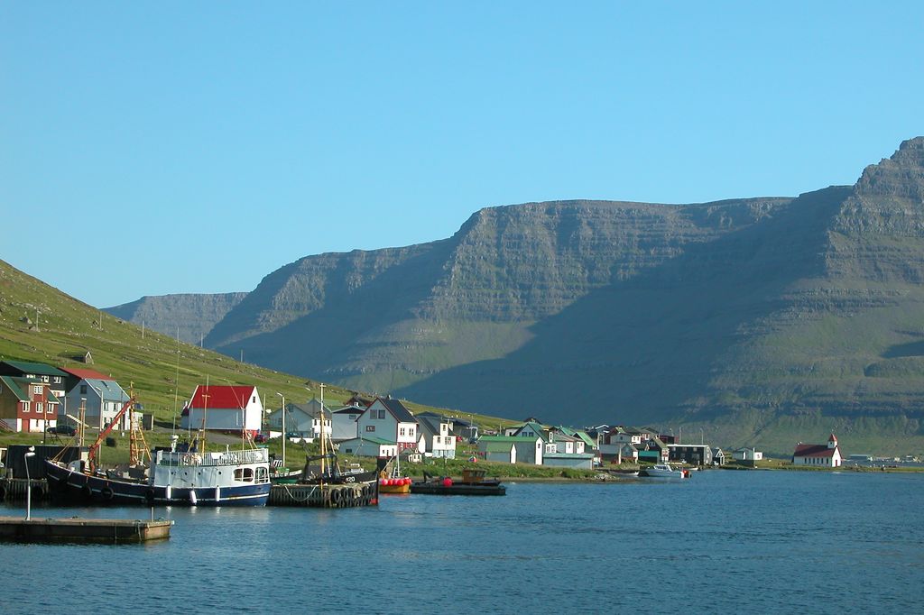
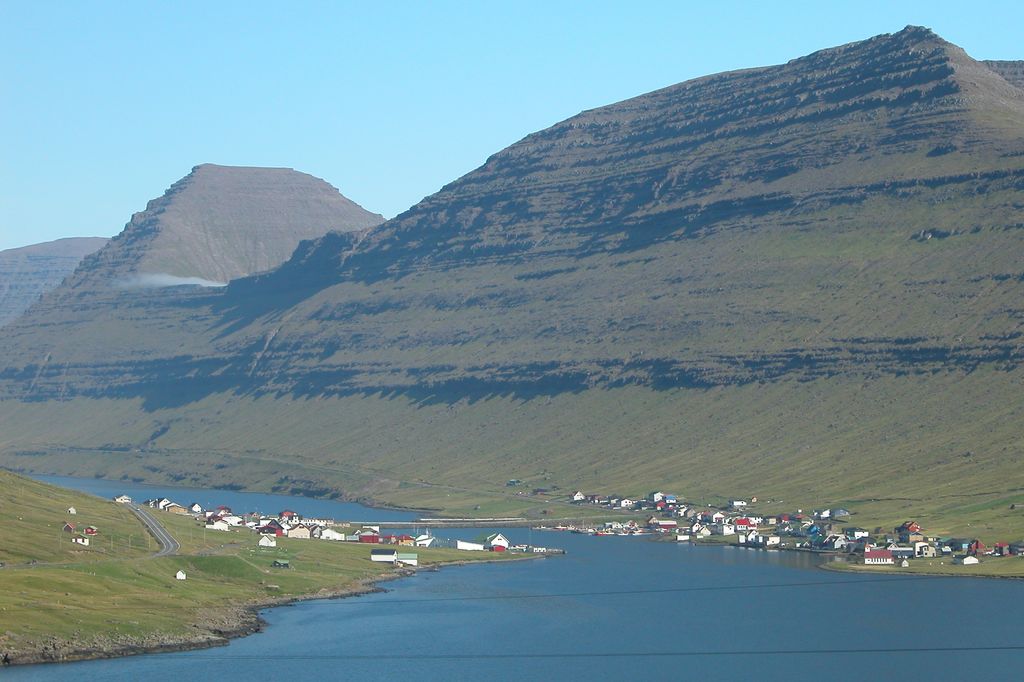
Hvannasund (Danish: Kvannesund, older spelling: Quannesund) is a village and municipality in the Faroe Islands, an autonomous territory within the Kingdom of Denmark. Hvannasund is located on the west coast of the island of Viðoy. It faces Norðdepil on Borðoy. The villages are connected to each other by a causeway. A large cracked rock rests in an area just north of Hvannasund. An old legend details that the rock, called Skrudhettan, broke the very moment that Jesus was born. On 26 May 2008, the ocean inexplicably receded 2½ – 3 metres before suddenly hitting the area with great strength. A couple of days later, it was reported that a mini-tsunami had hit Hvannasund. There were no injuries or fatalities. On 3 September 2008, a majority of the town council, notably excluding the mayor, announced that there would be a referendum on merging Hvannasund municipality with the municipality of Klaksvík. The referendum was held on 17 September. Of the 321 eligible, 278 cast their votes. The result was 68 in favor, 208 against and 2 blanks, thus the merger was rejected.
Show more
Sun and Moon
Mon
Tue
Wed
Thu
Fri
Sat
Sun
May 2022
Date and time
00:00
06:00
12:00
18:00
Today
--
--
Sunrise
--
Sunset
--
Moonrise
--
Moonset
Phase
🌔 Waxing Gibbous
The perfect light time for beautiful photos:
--
Sunrise
--
Sunset
PeakVisor app
Get the app on your smartphone
New Panorama Tools
Trace location on the map
Measure distances
All the instruments are available in the context menu as well.
We use GPS information embedded into the photo when it is available.
3D mountains overlay
Adjust mountain panorama to perfectly match your photos because recorded by camera photo position might be imprecise.
Move tool
Rotate tool
Zoom
More customization
Choose which peak labels should make into the final photo and what photo title should be.
Next
Photo Location
Satellitte
Flat map
Relief map
Latitude
Longitude
Altitude
OR
Latitude
°'''
Longitude
°'''
Apply
Register Peak
Peak Name
Latitude
Longitude
Altitude
Register
Teleport
PeakVisor
This 3D model of Sagarmatha National Park in Nepal was made using the PeakVisor app topographic data. The mobile app features higher precision models worldwide, more topographic details, and works offline. Download PeakVisor maps today.
Download OBJ model
PeakVisor
The download should start shortly. If you find it useful please consider supporting the PeakVisor app.
PeakVisor for iOS and Android
Be a superhero of outdoor navigation with state-of-the-art 3D maps and mountain identification in the palm of your hand!


.jpg)


