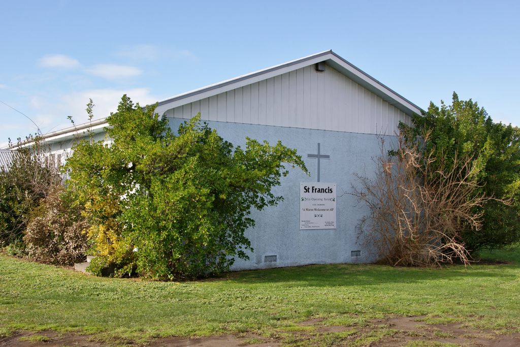
Haumoana is a coastal town just south of the Tukituki River outlet in Hawke Bay on the east coast of New Zealand's North Island. It is located 12 km south of Napier and ten kilometres east of Hastings. The village incorporates a school, a Presbyterian Church, a general store, a takeaway shop, a hall and a fire station. The village was developed as a holiday settlement with beaches, and the surrounding area has historically been used for sheep and cattle grazing and horticulture. However, lifestyle blocks and grape growing have become more prominent in recent times. Many inhabitants commute to the nearby cities to work. There are approximately 430 houses in Haumoana. The population at the 2013 census was 2256, an increase of 54 people since 2006. The New Zealand Ministry for Culture and Heritage gives a translation of "sea breeze" for Haumoana. The area is flat and low lying, with hills to the southwest. The underlying soil material has been laid down by rivers and the sea margin. Particle size ranges from gravel to clay. Nearer the beach the area is underlain by free draining sandy-gravels but further inland the gravels are overlain by poor draining silt and clay rich soils. Parts of the beach are experiencing coastal erosion of 0.7 metres per year, which resulted in the removal of several houses along the gravel beach crest, and other beach front properties being inundated during heavy swells and high tides. Due to its location near the beach in an area prone to coastal erosion, parts of the beach at Haumoana is being eroded. The long term shoreline retreat at Haumoana is on average between 0.30 m and 0.70 m per year. This rate of erosion is the same as it is at Te Awanga further down the Bay coastline. The coastal erosion rate at Clifton south of Te Awanga is slightly higher. Haumoana has a reticulated water supply managed by the Hastings District Council. An estimated 3% gain their water independently through rain water collection or from individual water bores. Wastewater is disposed using individual septic tanks.
Show more
Sun and Moon
Mon
Tue
Wed
Thu
Fri
Sat
Sun
May 2022
Date and time
00:00
06:00
12:00
18:00
Today
--
--
Sunrise
--
Sunset
--
Moonrise
--
Moonset
Phase
🌔 Waxing Gibbous
The perfect light time for beautiful photos:
--
Sunrise
--
Sunset
PeakVisor app
Get the app on your smartphone
New Panorama Tools
Trace location on the map
Measure distances
All the instruments are available in the context menu as well.
We use GPS information embedded into the photo when it is available.
3D mountains overlay
Adjust mountain panorama to perfectly match your photos because recorded by camera photo position might be imprecise.
Move tool
Rotate tool
Zoom
More customization
Choose which peak labels should make into the final photo and what photo title should be.
Next
Photo Location
Satellitte
Flat map
Relief map
Latitude
Longitude
Altitude
OR
Latitude
°'''
Longitude
°'''
Apply
Register Peak
Peak Name
Latitude
Longitude
Altitude
Register
Teleport
PeakVisor
This 3D model of Sagarmatha National Park in Nepal was made using the PeakVisor app topographic data. The mobile app features higher precision models worldwide, more topographic details, and works offline. Download PeakVisor maps today.
Download OBJ model
PeakVisor
The download should start shortly. If you find it useful please consider supporting the PeakVisor app.
PeakVisor for iOS and Android
Be a superhero of outdoor navigation with state-of-the-art 3D maps and mountain identification in the palm of your hand!