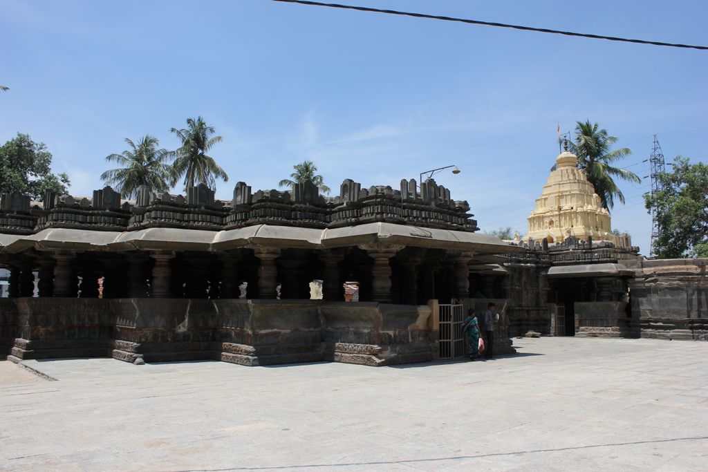
Harihara ([harihəra] also called Harihar) is a city in Davanagere District in the Indian state of Karnataka. It is the administrative headquarters of the Harihara Taluk. Harihara is famous for Harihareshwara temple. Harihara is situated on the banks of the Tungabhadra River, 275 kilometres north of Bangalore. Harihar and Davangere (14 km away) are referred as "twin cities". Harihar is connected by road and railway, and is located on National Highway 48 (Mumbai – Bangalore). It has a very pleasant climate year round. The major lifeline of this city is the Tungabhadra river, which is being exploited and polluted as a result of heavy industrialization.
We use GPS information embedded into the photo when it is available.
3D mountains overlay
Adjust mountain panorama to perfectly match your photos because recorded by camera photo position might be imprecise.
Move tool
Rotate tool
Zoom
More customization
Choose which peak labels should make into the final photo and what photo title should be.
Next
Photo Location
Satellitte
Flat map
Relief map
Latitude
Longitude
Altitude
OR
Latitude
°'''
Longitude
°'''
Apply
Register Peak
Peak Name
Latitude
Longitude
Altitude
Register
Teleport
PeakVisor
This 3D model of Sagarmatha National Park in Nepal was made using the PeakVisor app topographic data. The mobile app features higher precision models worldwide, more topographic details, and works offline. Download PeakVisor maps today.
Download OBJ model
PeakVisor
The download should start shortly. If you find it useful please consider supporting the PeakVisor app.
PeakVisor for iOS and Android
Be a superhero of outdoor navigation with state-of-the-art 3D maps and mountain identification in the palm of your hand!