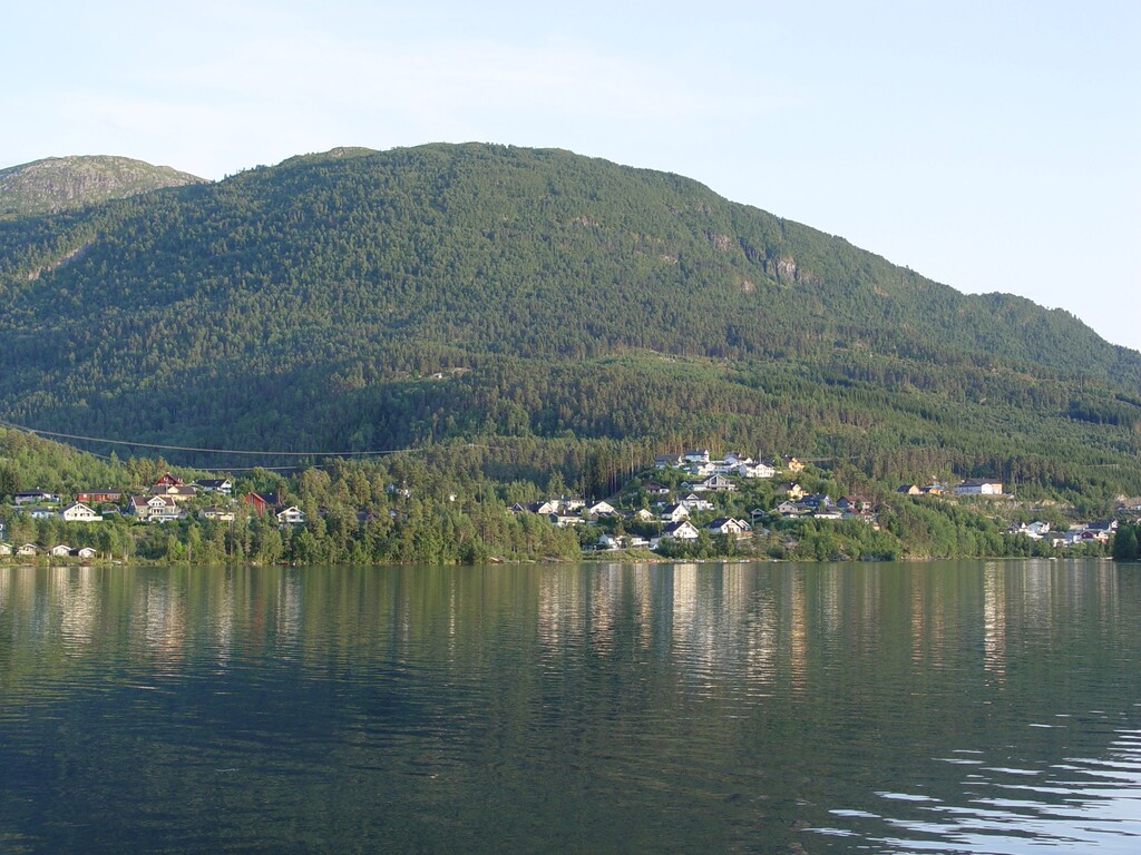
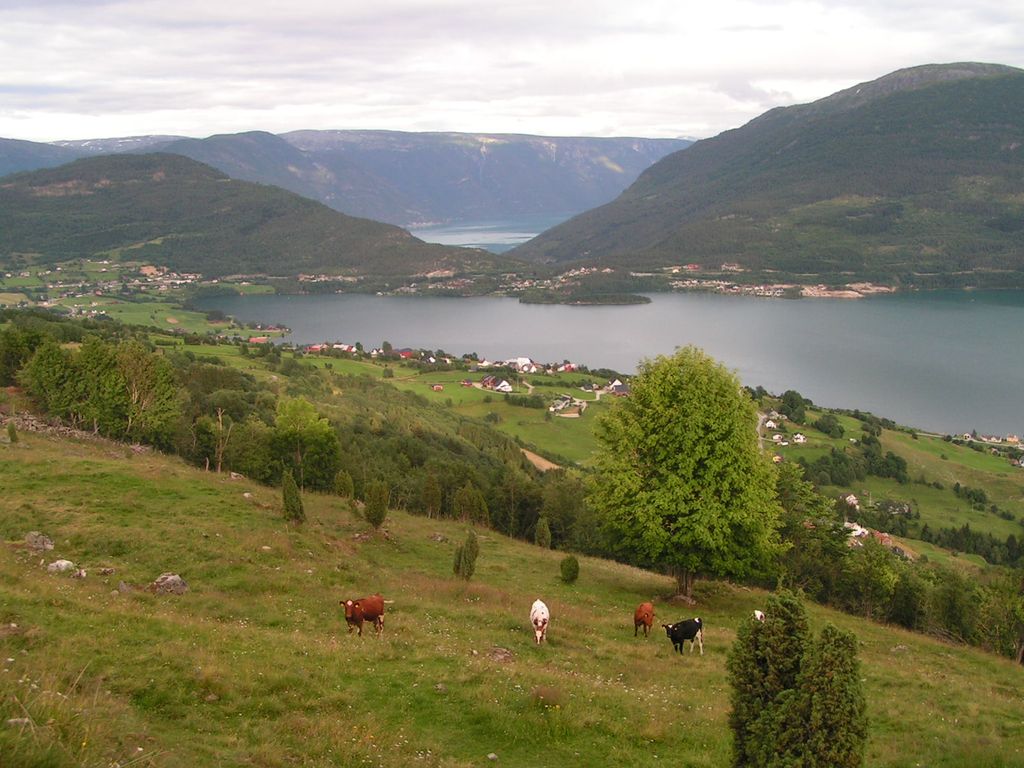
Hafslovatnet is a lake in the municipality of Luster in Vestland county, Norway. The lake lies at an elevation of 168 m (551 ft), has a surface area of 5.97 km2 (2.31 sq mi), and a water volume of 130,432,000 m3 (4.6062×10⁹ cu ft). It serves as a reservoir for the hydroelectric power station in Årøy. The primary inflow of the Hafslovatnet is via the short river Soget from the lake Veitastrondsvatnet. The primary outflow is the river Årøyelvi, which flows south into the Barsnesfjord, an inner part of the Sogndalsfjord, which, in turn, is a northern branch of the Sognefjord. The eponymous village of Hafslo lies at the northern shore of the lake. The eastern end of the lake lies at a distance of less than 2 km (1.2 mi) from the village of Solvorn, which lies at the northern shore of the Lustrafjord. The western part of the lake lies in the bird reserve Hafslovatnet.
Show more
Sun and Moon
Mon
Tue
Wed
Thu
Fri
Sat
Sun
May 2022
Date and time
00:00
06:00
12:00
18:00
Today
--
--
Sunrise
--
Sunset
--
Moonrise
--
Moonset
Phase
🌔 Waxing Gibbous
The perfect light time for beautiful photos:
--
Sunrise
--
Sunset
PeakVisor app
Get the app on your smartphone
New Panorama Tools
Trace location on the map
Measure distances
All the instruments are available in the context menu as well.
We use GPS information embedded into the photo when it is available.
3D mountains overlay
Adjust mountain panorama to perfectly match your photos because recorded by camera photo position might be imprecise.
Move tool
Rotate tool
Zoom
More customization
Choose which peak labels should make into the final photo and what photo title should be.
Next
Photo Location
Satellitte
Flat map
Relief map
Latitude
Longitude
Altitude
OR
Latitude
°'''
Longitude
°'''
Apply
Register Peak
Peak Name
Latitude
Longitude
Altitude
Register
Teleport
PeakVisor
This 3D model of Sagarmatha National Park in Nepal was made using the PeakVisor app topographic data. The mobile app features higher precision models worldwide, more topographic details, and works offline. Download PeakVisor maps today.
Download OBJ model
PeakVisor
The download should start shortly. If you find it useful please consider supporting the PeakVisor app.
PeakVisor for iOS and Android
Be a superhero of outdoor navigation with state-of-the-art 3D maps and mountain identification in the palm of your hand!