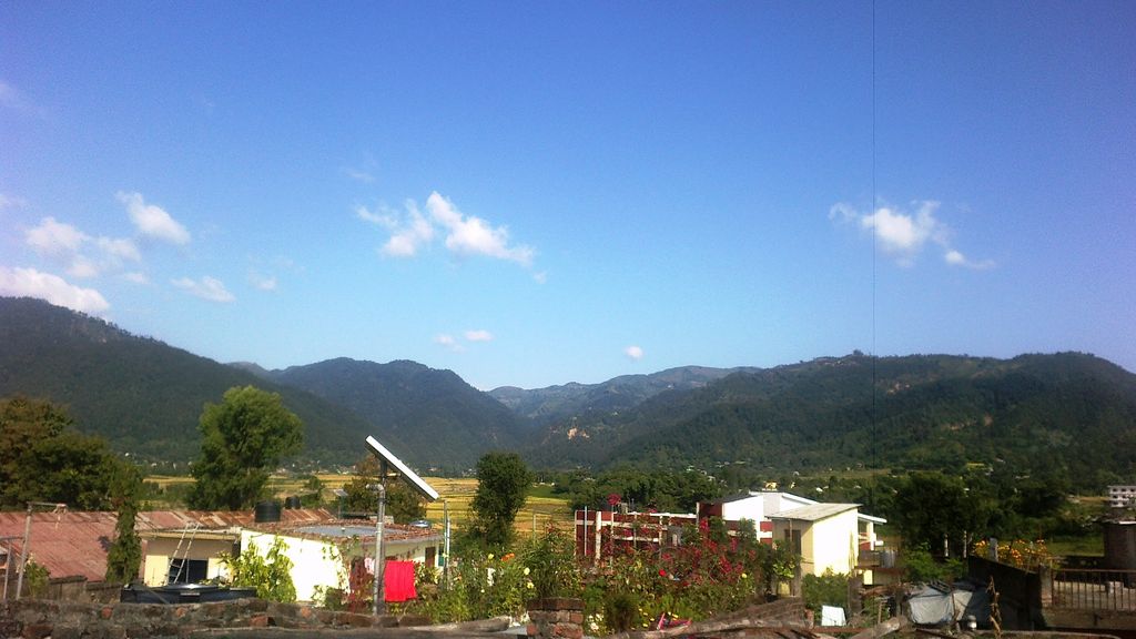
Ghorahi (Nepali: घोराही उपमहानगरपालिका) is the largest sub-metropolitan city by area and population of Lumbini Province. The city (formerly Tribhuvannagar) lies in Lumbini Province in the Mid-Western part of Nepal. It is the largest city of Dang Deukhuri District of southwest Nepal. Located in the Inner Terai region, it lies 413 kilometres (257 mi) south-west of Nepal's capital Kathmandu and is one of the Counter Magnets being developed as an alternative centre of growth to help ease the migration and population explosion in the Kathmandu metropolitan area. It is the largest city of the Rapti Zone and is surrounded by the Sivalik Hills to the south and Mahabharata Range to the north. Ghorahi is located in the Dang Valley in the foothills of the Himalayas nestled between the Babai River in the east, south, and in the west which ends being the famous Sarayu and Ganges rivers in India. The city is known for its landscape and slightly milder climate and provides a gateway to the surrounding regions of Rolpa, Pyuthan, Salyan and Rukum. It is well-connected and close to tourist destinations such as Bardiya National Park in the west, Surkhet in the north-west, Thawang, Rara Lake, and the Hindu holy lands of Swargadwari and along with the Hindu temples as Pandaveshwor and Ambikeshwori. It is one of the excellent sub-metropolitan cities based on minimum conditions and performance measurements in the assessment by the local government and financial experts of the commission in the fiscal year 2072/73 V.S. (2015/2016 AD). The city was also the first in the assessment of financial commission by the local body of the Federal Affairs and Local Development Ministry held in the financial year 2067/68 V.S. (2010/11 AD). It hosts training institutions such as Nepal Sanskrit University, Central Ayurveda College, Rapti Engineering College, Deepjyoti Nursing College, and Mahendra Multiple College. The city population makes a significant contribution to government civil servants. It is home to national factories such as the Ghorahi Cements Ghorahi, Sonapur Cement Factory, Dang Cement Industry. Ghorahi Submetropolitan City Office is locally known as Ghorahi Upa-Mahanagarpalika Karyalaya. Other urban entities involved in civic services and city governance and management include: Tripur Nagar Bikas Samiti, Rampur Gaubikas Samiti, Lakshmipur Gaubikas Samiti, Saudiyar Gaubikas Samiti, and Dharna Gaubikas Samiti. Ghorahi is best known for its high-quality honey and hemp (अल्लो) textiles.
We use GPS information embedded into the photo when it is available.
3D mountains overlay
Adjust mountain panorama to perfectly match your photos because recorded by camera photo position might be imprecise.
Move tool
Rotate tool
Zoom
More customization
Choose which peak labels should make into the final photo and what photo title should be.
Next
Photo Location
Satellitte
Flat map
Relief map
Latitude
Longitude
Altitude
OR
Latitude
°'''
Longitude
°'''
Apply
Register Peak
Peak Name
Latitude
Longitude
Altitude
Register
Teleport
PeakVisor
This 3D model of Sagarmatha National Park in Nepal was made using the PeakVisor app topographic data. The mobile app features higher precision models worldwide, more topographic details, and works offline. Download PeakVisor maps today.
Download OBJ model
PeakVisor
The download should start shortly. If you find it useful please consider supporting the PeakVisor app.
PeakVisor for iOS and Android
Be a superhero of outdoor navigation with state-of-the-art 3D maps and mountain identification in the palm of your hand!