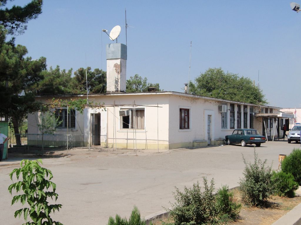
Gardabani (Georgian: გარდაბანი) is a city of 11,650 residents (2021) in the southern Georgian region of Kvemo Kartli and is the administrative centre of the Gardabani Municipality. It is located 34 kilometres (21 mi) southeast of capital Tbilisi and 10 kilometres (6.2 mi) from Rustavi in the Kvemo Kartli Plain at an elevation of 300 metres (980 ft) above sea level. Until 1947 Gardabani was known as Karayazi (Azerbaijani: Qarayazı) and the city status was granted in 1969, after a thermal power plant was built for Tbilisi in the 1960s causing rapid growth. Since then more plower plants have been built and the city nowadays supplies almost all thermally generated electricity in the country.
We use GPS information embedded into the photo when it is available.
3D mountains overlay
Adjust mountain panorama to perfectly match your photos because recorded by camera photo position might be imprecise.
Move tool
Rotate tool
Zoom
More customization
Choose which peak labels should make into the final photo and what photo title should be.
Next
Photo Location
Satellitte
Flat map
Relief map
Latitude
Longitude
Altitude
OR
Latitude
°'''
Longitude
°'''
Apply
Register Peak
Peak Name
Latitude
Longitude
Altitude
Register
Teleport
PeakVisor
This 3D model of Sagarmatha National Park in Nepal was made using the PeakVisor app topographic data. The mobile app features higher precision models worldwide, more topographic details, and works offline. Download PeakVisor maps today.
Download OBJ model
PeakVisor
The download should start shortly. If you find it useful please consider supporting the PeakVisor app.
PeakVisor for iOS and Android
Be a superhero of outdoor navigation with state-of-the-art 3D maps and mountain identification in the palm of your hand!