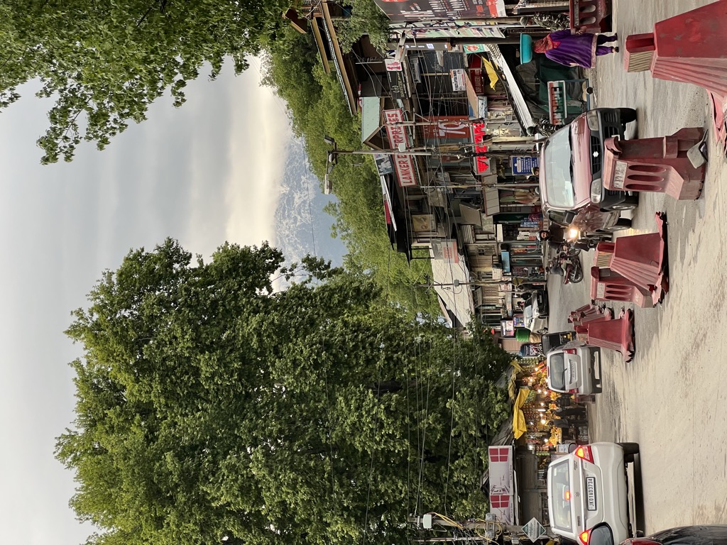
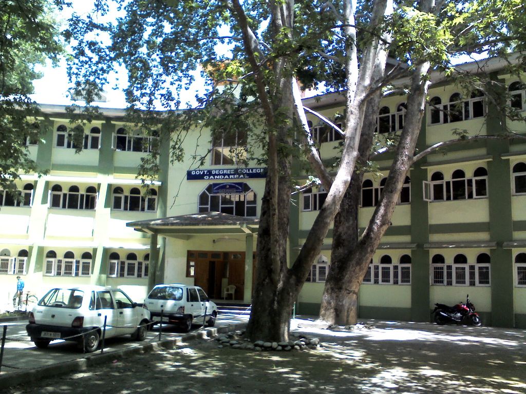
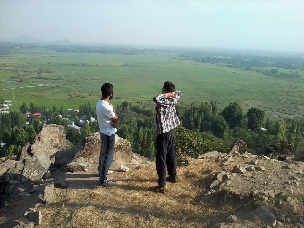
Ganderbal is a town and a municipality committee in Ganderbal District in the Indian union territory of Jammu and Kashmir. It is the headquarters of Ganderbal district. It is in Central Kashmir; it has an average elevation of 1,619 metres (5,312 feet). It is bordered by district Srinagar District in the south, Bandipora District to the north, Kargil (Indian union territory of Ladakh) in the northeast, Anantnag District to the southeast, and Baramulla District in the southwest. The current District Magistrate of Ganderbal is Mr. Shyambir Singh (IAS). Ganderbal is renowned for its beauty, boasting numerous picturesque places and captivating landscapes. Sonamarg is the most famous place in Ganderbal; Shri Amarnath Ji Yatra is also traversed through Ganderbal district.
We use GPS information embedded into the photo when it is available.
3D mountains overlay
Adjust mountain panorama to perfectly match your photos because recorded by camera photo position might be imprecise.
Move tool
Rotate tool
Zoom
More customization
Choose which peak labels should make into the final photo and what photo title should be.
Next
Photo Location
Satellitte
Flat map
Relief map
Latitude
Longitude
Altitude
OR
Latitude
°'''
Longitude
°'''
Apply
Register Peak
Peak Name
Latitude
Longitude
Altitude
Register
Teleport
PeakVisor
This 3D model of Sagarmatha National Park in Nepal was made using the PeakVisor app topographic data. The mobile app features higher precision models worldwide, more topographic details, and works offline. Download PeakVisor maps today.
Download OBJ model
PeakVisor
The download should start shortly. If you find it useful please consider supporting the PeakVisor app.
PeakVisor for iOS and Android
Be a superhero of outdoor navigation with state-of-the-art 3D maps and mountain identification in the palm of your hand!