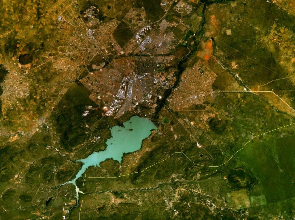
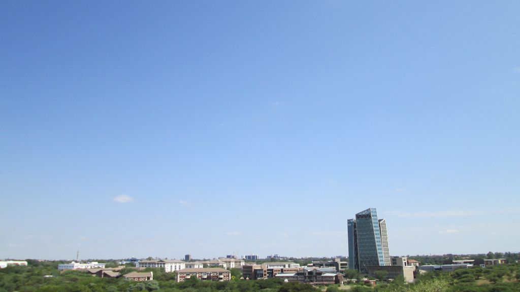
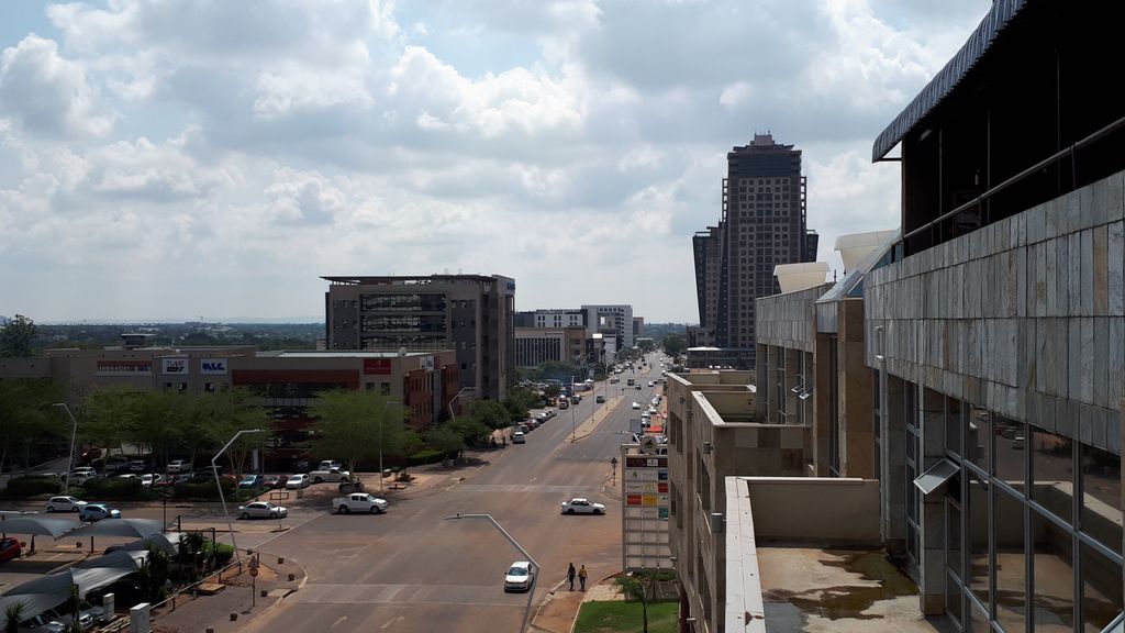
Gaborone (UK: GAB-ə-ROH-nee, HAB-, US: GAH-bə-ROH-nee, -nay, Tswana: [χabʊˈrʊnɛ]) is the capital and largest city of Botswana with a population of 246,325 based on the 2022 census, about 10% of the total population of Botswana. Its agglomeration is home to 421,907 inhabitants at the 2011 census. Gaborone has per capita income of US$32,000 (PPP), the highest in Africa. Gaborone is situated between Kgale Hill and Oodi Hill, near the confluence of the Notwane River and Segoditshane River in the south-eastern corner of Botswana, 15 kilometres (9.3 mi) from the South African border. The city is served by the Sir Seretse Khama International Airport. It is an administrative district in its own right, but is the capital of the surrounding South-East District. Locals often refer to the city as GC or Motse-Mshate. The city of Gaborone is named after Chief Gaborone of the Tlokwa tribe, who once controlled land nearby. Because it had no tribal affiliation and was close to fresh water, the city was planned to be the capital in the mid-1960s when the Bechuanaland Protectorate became an independent nation. The centre of the city is a long strip of commercial businesses, called "Main Mall" with a semicircle-shaped area of government offices to its east. Gaborone was once one of the fastest-growing cities in the world, and this has created problems with housing and illegal settlements. The city has also dealt with conflicts spilling into the country from Zimbabwe and South Africa during the 1980s. Gaborone is the economic capital as well as the government capital; it is headquarters to numerous companies and the Botswana Stock Exchange. Gaborone is also home to the Southern African Development Community (SADC), a regional economic community established in 1980. Many languages are spoken there, Setswana (Tswana) being the main tongue. English, Kalanga, and Kgalagadi are also spoken.
Show more
Sun and Moon
Mon
Tue
Wed
Thu
Fri
Sat
Sun
May 2022
Date and time
00:00
06:00
12:00
18:00
Today
--
--
Sunrise
--
Sunset
--
Moonrise
--
Moonset
Phase
🌔 Waxing Gibbous
The perfect light time for beautiful photos:
--
Sunrise
--
Sunset
PeakVisor app
Get the app on your smartphone
New Panorama Tools
Trace location on the map
Measure distances
All the instruments are available in the context menu as well.
We use GPS information embedded into the photo when it is available.
3D mountains overlay
Adjust mountain panorama to perfectly match your photos because recorded by camera photo position might be imprecise.
Move tool
Rotate tool
Zoom
More customization
Choose which peak labels should make into the final photo and what photo title should be.
Next
Photo Location
Satellitte
Flat map
Relief map
Latitude
Longitude
Altitude
OR
Latitude
°'''
Longitude
°'''
Apply
Register Peak
Peak Name
Latitude
Longitude
Altitude
Register
Teleport
PeakVisor
This 3D model of Sagarmatha National Park in Nepal was made using the PeakVisor app topographic data. The mobile app features higher precision models worldwide, more topographic details, and works offline. Download PeakVisor maps today.
Download OBJ model
PeakVisor
The download should start shortly. If you find it useful please consider supporting the PeakVisor app.
PeakVisor for iOS and Android
Be a superhero of outdoor navigation with state-of-the-art 3D maps and mountain identification in the palm of your hand!