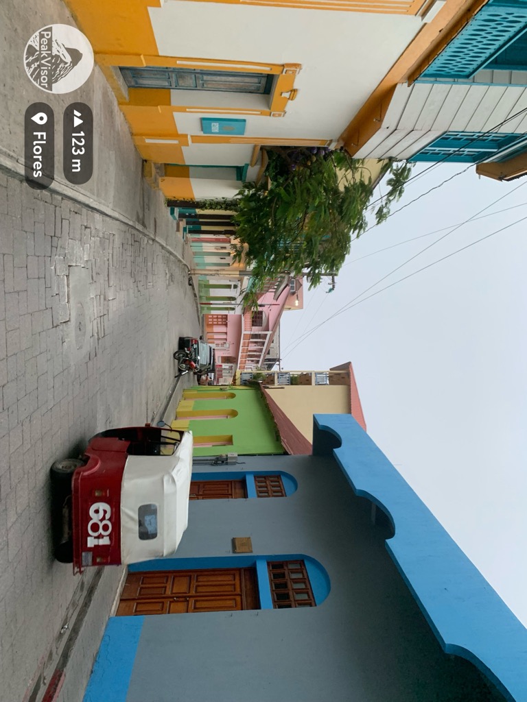
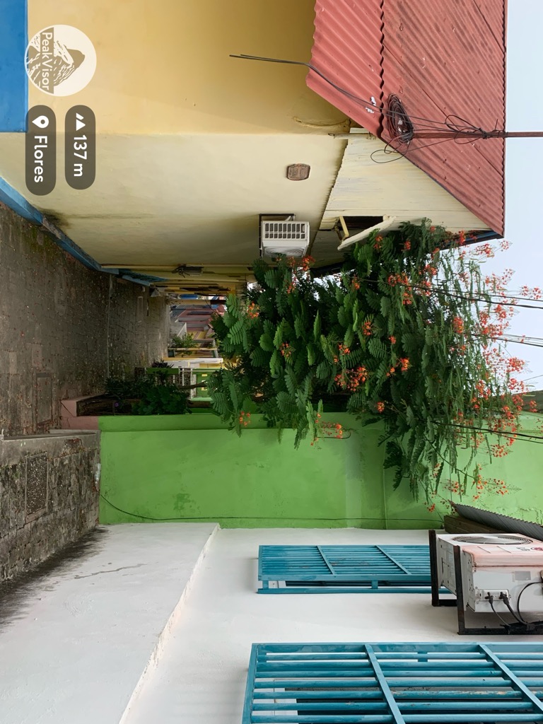
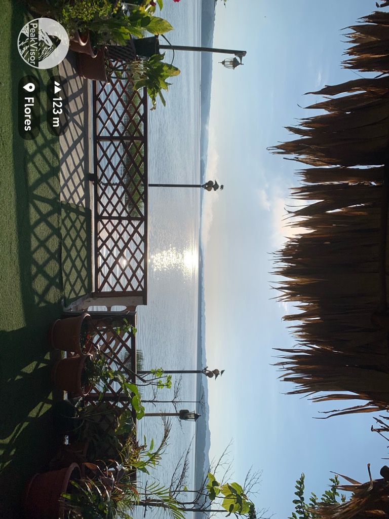
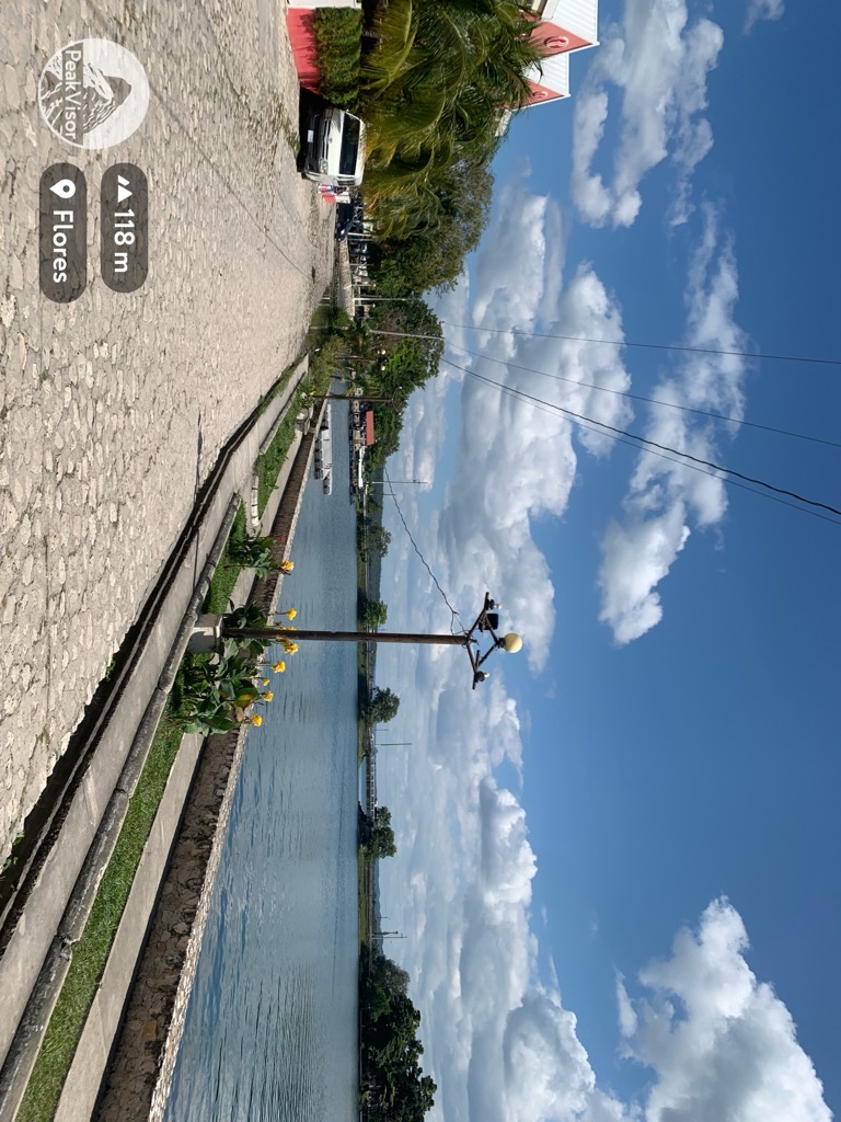
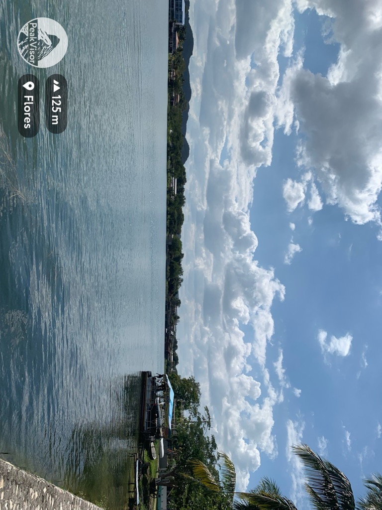
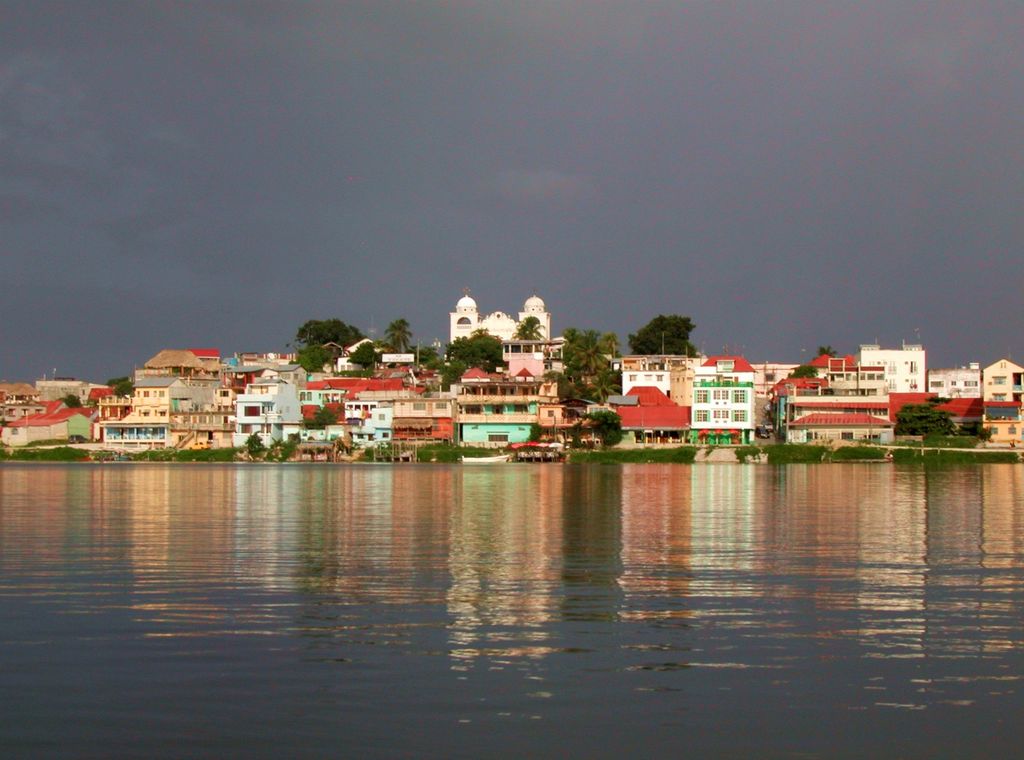
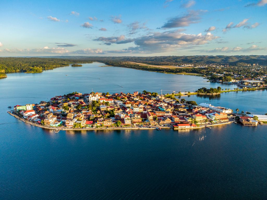
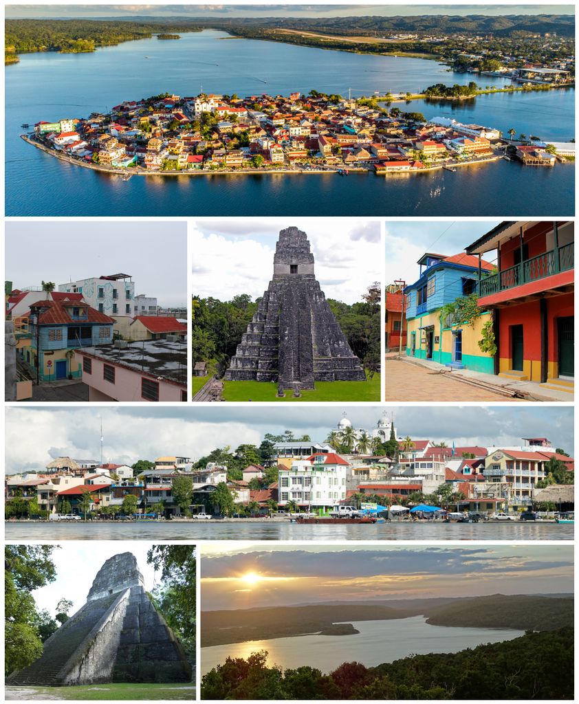
Flores is the capital of the Petén Department, Guatemala's landlocked, northernmost department. The population is 13,700 (2003). Flores is the seat of the municipality of Flores (population 22,600). Its Catedral Nuestra Señora de Los Remedios y San Pablo Itzá is the cathedral episcopal seat of the Apostolic Vicariate of El Petén (formerly a territorial prelature). The old part of the city is located on an island on Lake Petén Itzá, connected to the mainland by a short causeway. On the mainland is the suburb Santa Elena and, to the West, the contiguous municipality of San Benito. The municipality of Flores also includes a wide swathe of rural territory stretching north from Lake Petén Itzá to the Mexican border.
We use GPS information embedded into the photo when it is available.
3D mountains overlay
Adjust mountain panorama to perfectly match your photos because recorded by camera photo position might be imprecise.
Move tool
Rotate tool
Zoom
More customization
Choose which peak labels should make into the final photo and what photo title should be.
Next
Photo Location
Satellitte
Flat map
Relief map
Latitude
Longitude
Altitude
OR
Latitude
°'''
Longitude
°'''
Apply
Register Peak
Peak Name
Latitude
Longitude
Altitude
Register
Teleport
PeakVisor
This 3D model of Sagarmatha National Park in Nepal was made using the PeakVisor app topographic data. The mobile app features higher precision models worldwide, more topographic details, and works offline. Download PeakVisor maps today.
Download OBJ model
PeakVisor
The download should start shortly. If you find it useful please consider supporting the PeakVisor app.
PeakVisor for iOS and Android
Be a superhero of outdoor navigation with state-of-the-art 3D maps and mountain identification in the palm of your hand!