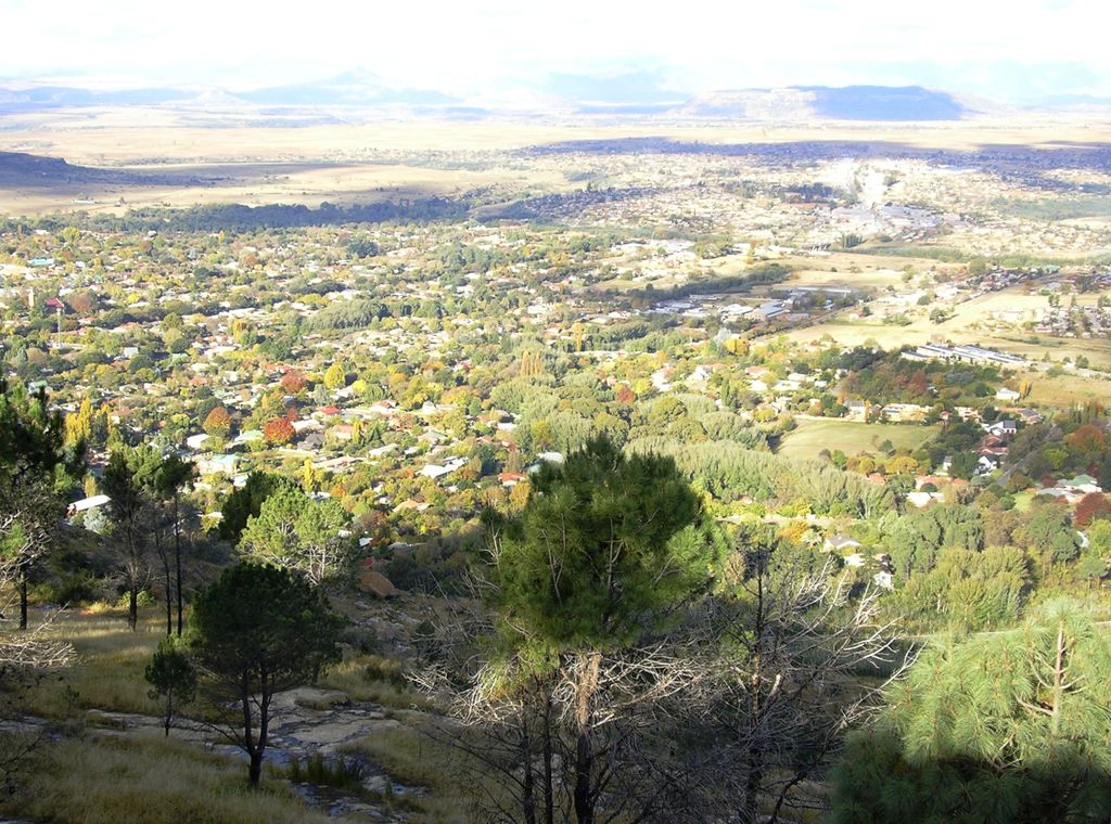
Ficksburg is a town situated at the foot of the 1,750 meter high Imperani Mountain in Free State province, South Africa. The town was founded by General Johan Fick in 1867 who won the territory in the Basotho Wars. He laid out many erven and plots that could be bought at a reasonable price. It is located on the north bank of the Mohokare River, which separates it from the town of Maputsoe in Lesotho. The town was later proclaimed a municipality in 1891. The last Governor-General of the Union of South Africa and the first State President of South Africa, Charles Robberts Swart was imprisoned here by the British in 1914 and released one day before his scheduled execution.
We use GPS information embedded into the photo when it is available.
3D mountains overlay
Adjust mountain panorama to perfectly match your photos because recorded by camera photo position might be imprecise.
Move tool
Rotate tool
Zoom
More customization
Choose which peak labels should make into the final photo and what photo title should be.
Next
Photo Location
Satellitte
Flat map
Relief map
Latitude
Longitude
Altitude
OR
Latitude
°'''
Longitude
°'''
Apply
Register Peak
Peak Name
Latitude
Longitude
Altitude
Register
Teleport
PeakVisor
This 3D model of Sagarmatha National Park in Nepal was made using the PeakVisor app topographic data. The mobile app features higher precision models worldwide, more topographic details, and works offline. Download PeakVisor maps today.
Download OBJ model
PeakVisor
The download should start shortly. If you find it useful please consider supporting the PeakVisor app.
PeakVisor for iOS and Android
Be a superhero of outdoor navigation with state-of-the-art 3D maps and mountain identification in the palm of your hand!