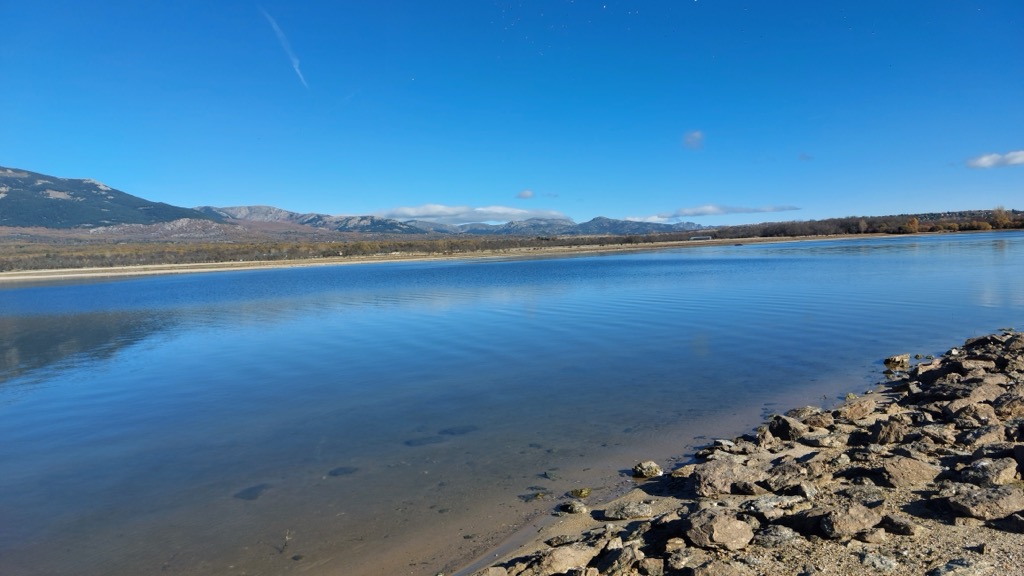
Santillana reservoir, also known as Manzanares el Real reservoir (Spanish: embalse de Santillana or embalse de Manzanares el Real), is a body of water along the Manzanares river located in the municipalities of Manzanares el Real and Soto del Real, in the Community of Madrid, in the centre of Spain. It has a maximum surface of 1052 ha, the longest distance between opposites shores reaches 30 kilometres (19 mi), and the total volume of the reservoir is 91 hm³. The first dam was built in 1907, but in 1969 a new and higher dam was built. This new construction was 5 m higher, which allowed the reservoir to have a volume twice as large as before. The second and present dam, built in a period of 12 months, began its service in 1971. Its foundations are located at an altitude of 856.5 metres (2,810 ft) and the highest point of the dam is at 896.5 m (2,941 ft), with a total length of 1,355 m (4,446 ft). Belonging to the Canal de Isabel II public company, it regulates the flow of the Manzanares river and an important part of the water supply to the city of Madrid and its surroundings. Smaller rivers Samburiel and Arroyo del Mediano also flow into the reservoir, which is part of the natural protected area called Parque Regional de la Cuenca Alta del Manzanares. It is also part of the Site of Community Importance (SCI) Manzanares basin, with code ES3110004.
We use GPS information embedded into the photo when it is available.
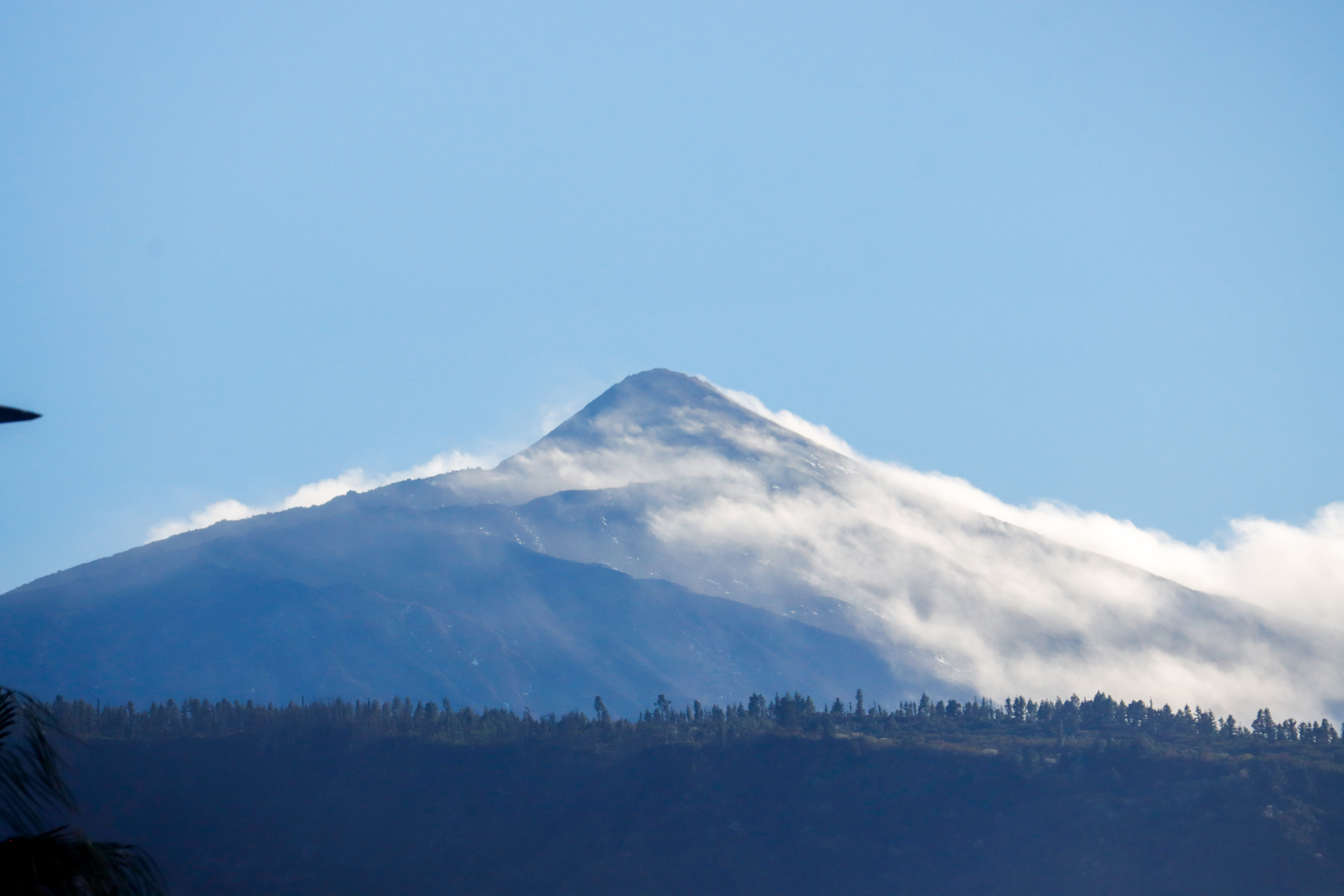
3D mountains overlay
Adjust mountain panorama to perfectly match your photos because recorded by camera photo position might be imprecise.
Move tool
Rotate tool
Zoom
More customization
Choose which peak labels should make into the final photo and what photo title should be.
Next
Photo Location
Satellitte
Flat map
Relief map
Latitude
Longitude
Altitude
OR
Latitude
°'''
Longitude
°'''
Apply
Register Peak
Peak Name
Latitude
Longitude
Altitude
Register
Teleport
PeakVisor
This 3D model of Sagarmatha National Park in Nepal was made using the PeakVisor app topographic data. The mobile app features higher precision models worldwide, more topographic details, and works offline. Download PeakVisor maps today.
Download OBJ model
PeakVisor
The download should start shortly. If you find it useful please consider supporting the PeakVisor app.
PeakVisor for iOS and Android
Be a superhero of outdoor navigation with state-of-the-art 3D maps and mountain identification in the palm of your hand!


.jpg)


