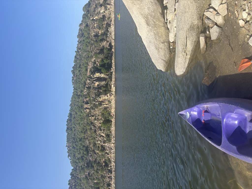
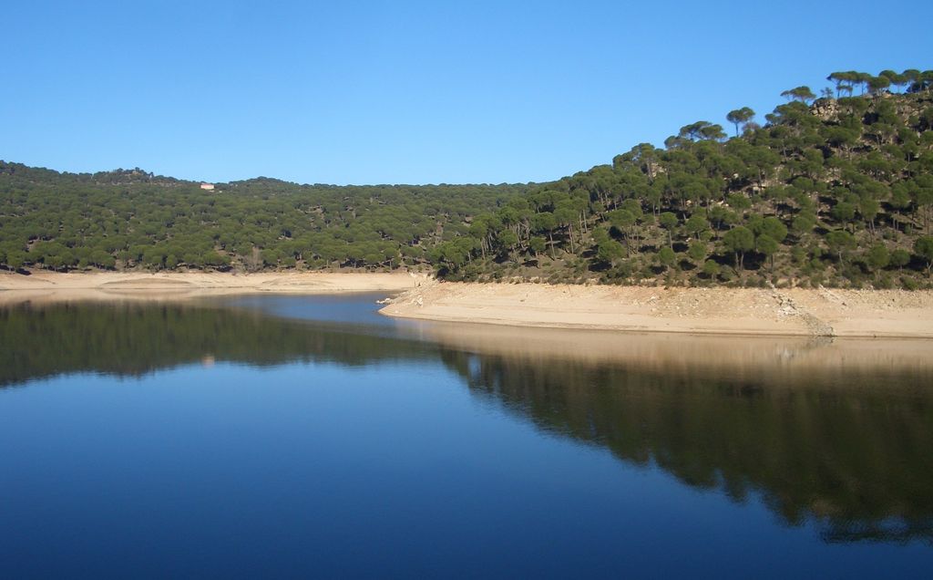
The San Juan reservoir (Embalse de San Juan, in Spanish) is located along the Alberche river between the municipalities of San Martín de Valdeiglesias, El Tiemblo, Cebreros, and Pelayos de la Presa, at the south-eastern end of the Autonomous Community of Madrid, bordering on the province of Ávila. The reservoir was built in 1955 and has a capacity of 138 km3, covers a surface area of 650 hectares, and is managed by the Confederación Hidrográfica del Tajo. Since the 1990s, one of its main functions has been to deliver water to the city of Toledo along the canal known as the Trasvase Picadas-Toledo. It also generates electricity and supplies water to the south-eastern part of the Autonomous Community of Madrid. In addition, recreational use (bathing and sailing) is permitted and is a popular destination for the inhabitants of Madrid.
We use GPS information embedded into the photo when it is available.
3D mountains overlay
Adjust mountain panorama to perfectly match your photos because recorded by camera photo position might be imprecise.
Move tool
Rotate tool
Zoom
More customization
Choose which peak labels should make into the final photo and what photo title should be.
Next
Photo Location
Satellitte
Flat map
Relief map
Latitude
Longitude
Altitude
OR
Latitude
°'''
Longitude
°'''
Apply
Register Peak
Peak Name
Latitude
Longitude
Altitude
Register
Teleport
PeakVisor
This 3D model of Sagarmatha National Park in Nepal was made using the PeakVisor app topographic data. The mobile app features higher precision models worldwide, more topographic details, and works offline. Download PeakVisor maps today.
Download OBJ model
PeakVisor
The download should start shortly. If you find it useful please consider supporting the PeakVisor app.
PeakVisor for iOS and Android
Be a superhero of outdoor navigation with state-of-the-art 3D maps and mountain identification in the palm of your hand!


.jpg)
.jpg)


