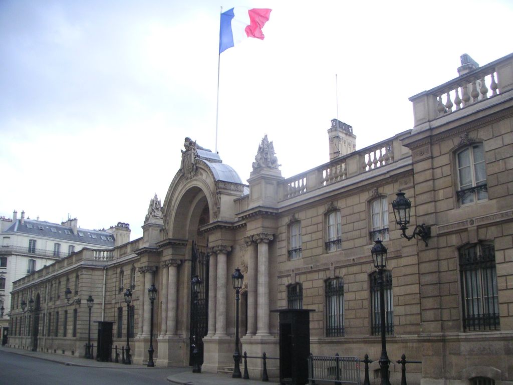
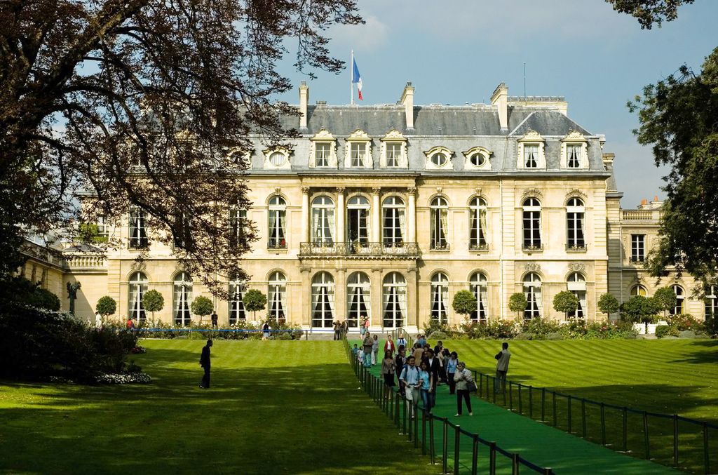
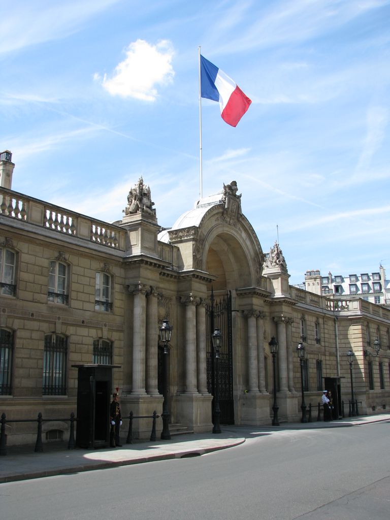
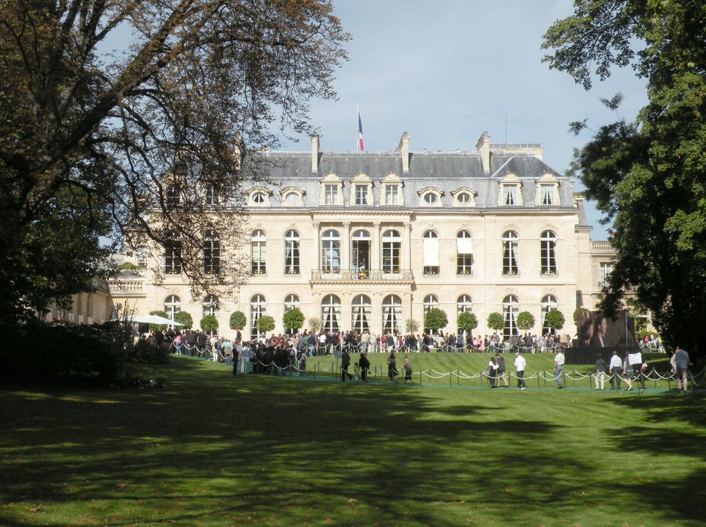
The Élysée Palace (French: Palais de l'Élysée, pronounced [palɛ də lelize]) is the official residence of the President of the French Republic in Paris. Completed in 1722, it was built for Louis Henri de La Tour d'Auvergne, a nobleman and army officer who had been appointed Governor of Île-de-France in 1719. It is located on the Rue du Faubourg Saint-Honoré in the 8th arrondissement of Paris, near the Champs-Élysées. The name Élysée derives from the Elysian Fields, the place of the blessed dead in Greek mythology. The Élysée Palace has been the home of personalities such as Madame de Pompadour (1721–1764), Nicolas Beaujon (1718–1786), Bathilde d'Orléans (1750–1822), Joachim Murat (1767–1815), and Charles Ferdinand, Duke of Berry (1778–1820). On 12 December 1848, under the Second Republic, the French Parliament passed a law declaring the building the official residence of the French president. The Élysée Palace, which contains the presidential office and residency, is also the meeting place of the Council of Ministers, the weekly meeting of the Government of France that is presided over by the President of the Republic. Across the street is the Hôtel de Marigny, which has served as a state guest house where the French government has hosted visiting dignitaries.
Show more
Sun and Moon
Mon
Tue
Wed
Thu
Fri
Sat
Sun
May 2022
Date and time
00:00
06:00
12:00
18:00
Today
--
--
Sunrise
--
Sunset
--
Moonrise
--
Moonset
Phase
🌔 Waxing Gibbous
The perfect light time for beautiful photos:
--
Sunrise
--
Sunset
PeakVisor app
Get the app on your smartphone
New Panorama Tools
Trace location on the map
Measure distances
All the instruments are available in the context menu as well.
We use GPS information embedded into the photo when it is available.
3D mountains overlay
Adjust mountain panorama to perfectly match your photos because recorded by camera photo position might be imprecise.
Move tool
Rotate tool
Zoom
More customization
Choose which peak labels should make into the final photo and what photo title should be.
Next
Photo Location
Satellitte
Flat map
Relief map
Latitude
Longitude
Altitude
OR
Latitude
°'''
Longitude
°'''
Apply
Register Peak
Peak Name
Latitude
Longitude
Altitude
Register
Teleport
PeakVisor
This 3D model of Sagarmatha National Park in Nepal was made using the PeakVisor app topographic data. The mobile app features higher precision models worldwide, more topographic details, and works offline. Download PeakVisor maps today.
Download OBJ model
PeakVisor
The download should start shortly. If you find it useful please consider supporting the PeakVisor app.
PeakVisor for iOS and Android
Be a superhero of outdoor navigation with state-of-the-art 3D maps and mountain identification in the palm of your hand!


.jpg)
_(cropped).jpg)


