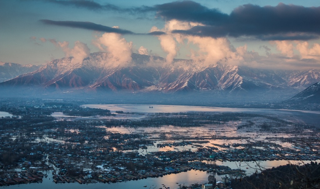
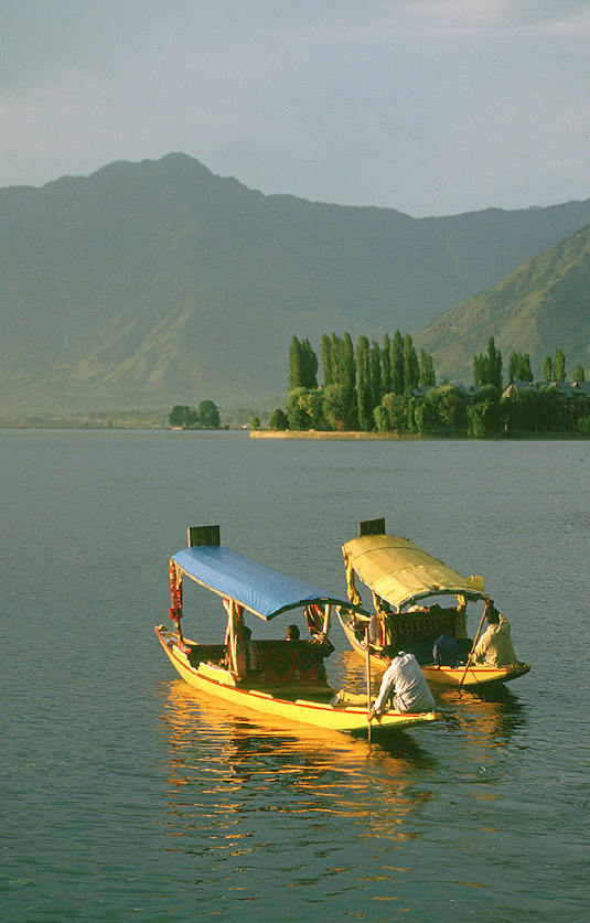
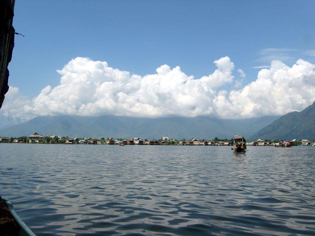
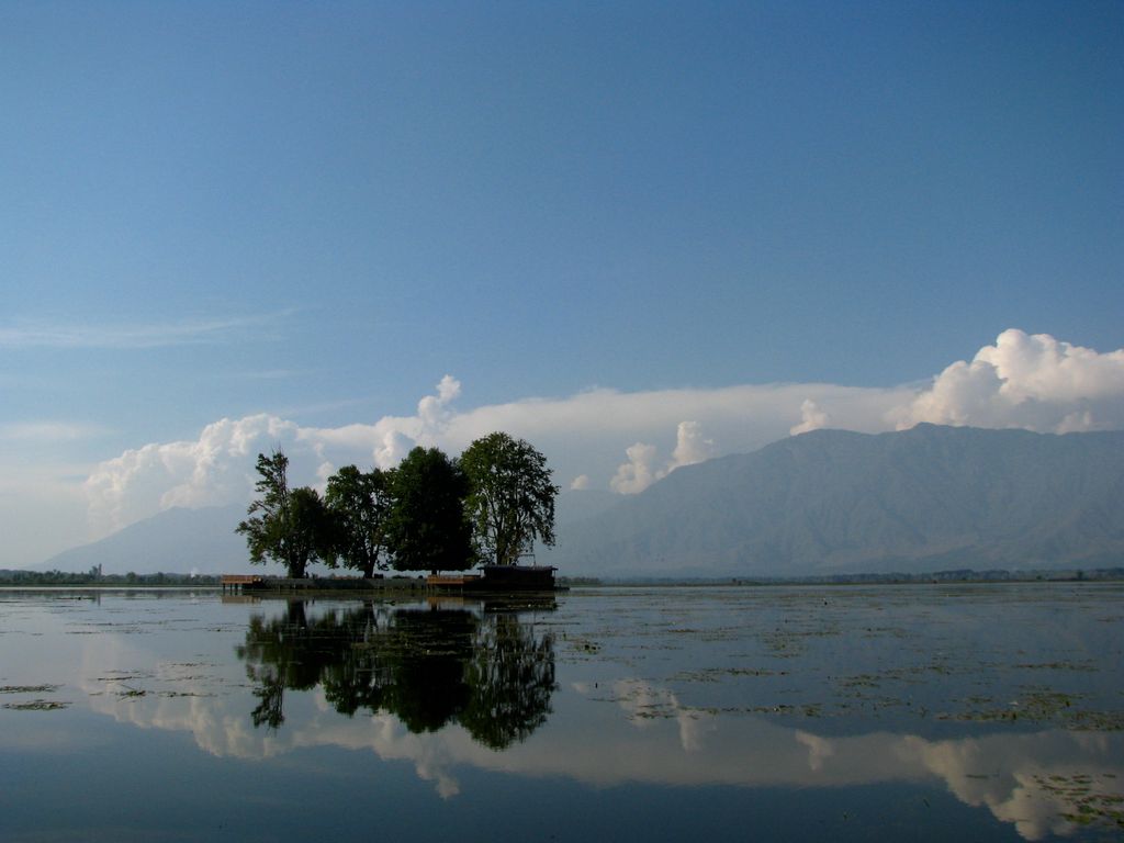
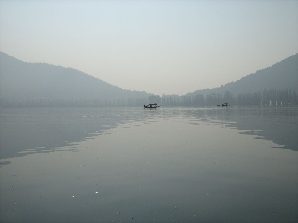
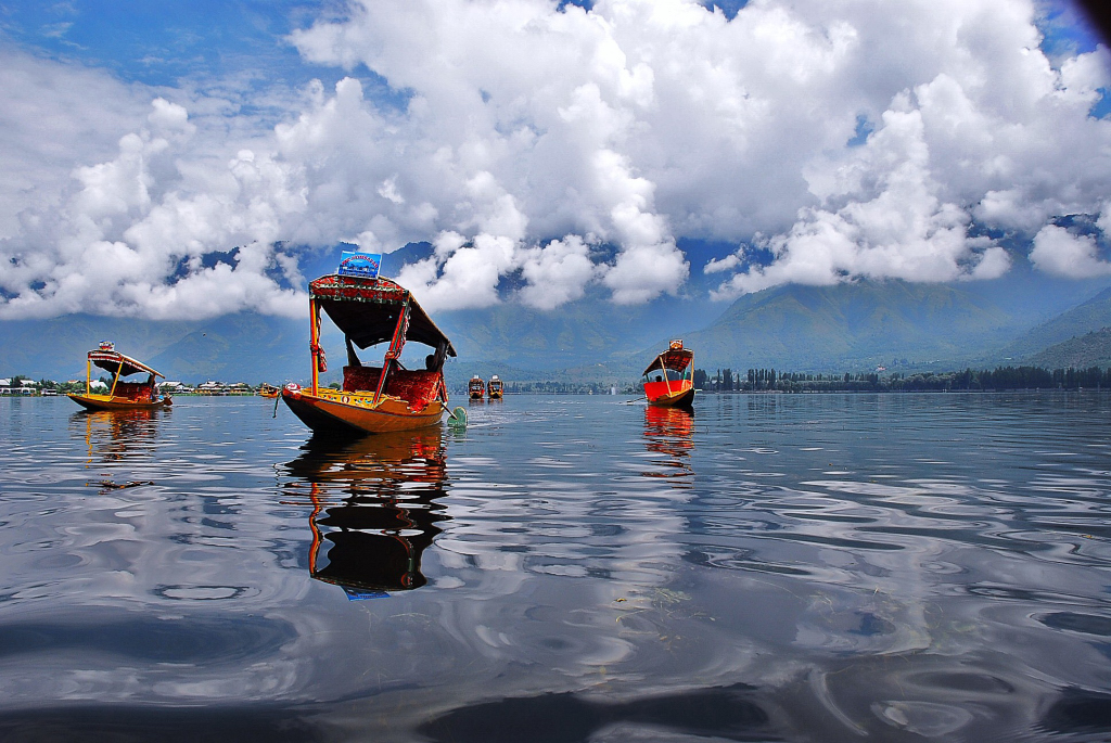
Dal is a freshwater lake in Srinagar, the summer capital of the Indian-administered Jammu and Kashmir in the disputed Kashmir region. It is an urban lake, the second largest lake in Jammu and Kashmir, and the most visited place in Srinagar by tourists and locals. It is integral to tourism and recreation in the Kashmir valley and is variously known as the "Lake of Flowers", "Jewel in the crown of Kashmir" or "Srinagar's Jewel". The lake is also an important source for commercial operations in fishing and water plant harvesting. The shore line of the lake, about 15.5 kilometres (9.6 mi), is encompassed by a boulevard lined with Mughal era gardens, parks, houseboats and hotels. Scenic views of the lake can be witnessed from the shore line Mughal gardens, such as Shalimar Bagh and Nishat Bagh built during the reign of Mughal Emperor Jahangir, and from houseboats cruising along the lake in the colourful shikaras. During the winter season, the temperature can sometimes reach as low as −11 °C (12 °F), freezing the lake. The lake covers an area of 18 square kilometres (6.9 sq mi) and is part of a natural wetland which covers 21.1 square kilometres (8.1 sq mi), including its floating gardens. The floating gardens, known as "Rad" in Kashmiri, blossom with lotus flowers during July and August. The wetland is divided by causeways into four basins; Gagribal, Lokut Dal, Bod Dal and Nigeen (although Nigeen is also considered as an independent lake). Lokut Dal and Bod Dal each have an island in the centre, known as Rupa Lank (or Char Chinari) and Sona Lank respectively. At present, the Dal and the Mughal gardens on its periphery are undergoing intensive restoration measures to fully address the serious eutrophication problems experienced by the lake. Massive investments of approximately US$275 million (₹ 11 billion) are being made by the Government of India to restore the lake to its original splendour.
We use GPS information embedded into the photo when it is available.
3D mountains overlay
Adjust mountain panorama to perfectly match your photos because recorded by camera photo position might be imprecise.
Move tool
Rotate tool
Zoom
More customization
Choose which peak labels should make into the final photo and what photo title should be.
Next
Photo Location
Satellitte
Flat map
Relief map
Latitude
Longitude
Altitude
OR
Latitude
°'''
Longitude
°'''
Apply
Register Peak
Peak Name
Latitude
Longitude
Altitude
Register
Teleport
PeakVisor
This 3D model of Sagarmatha National Park in Nepal was made using the PeakVisor app topographic data. The mobile app features higher precision models worldwide, more topographic details, and works offline. Download PeakVisor maps today.
Download OBJ model
PeakVisor
The download should start shortly. If you find it useful please consider supporting the PeakVisor app.
PeakVisor for iOS and Android
Be a superhero of outdoor navigation with state-of-the-art 3D maps and mountain identification in the palm of your hand!


.jpg)


