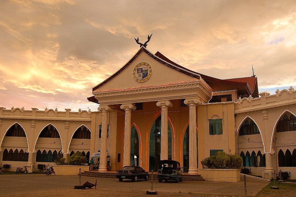
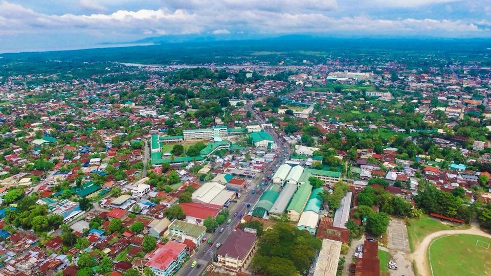
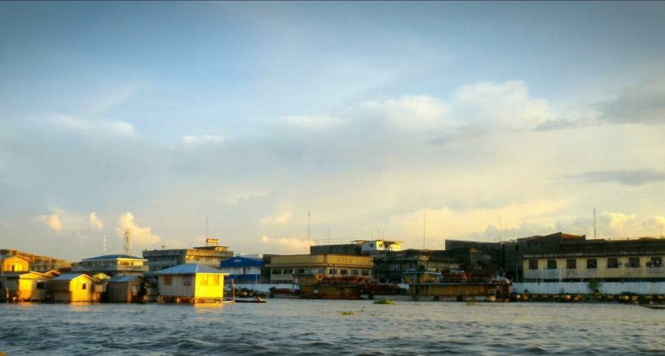
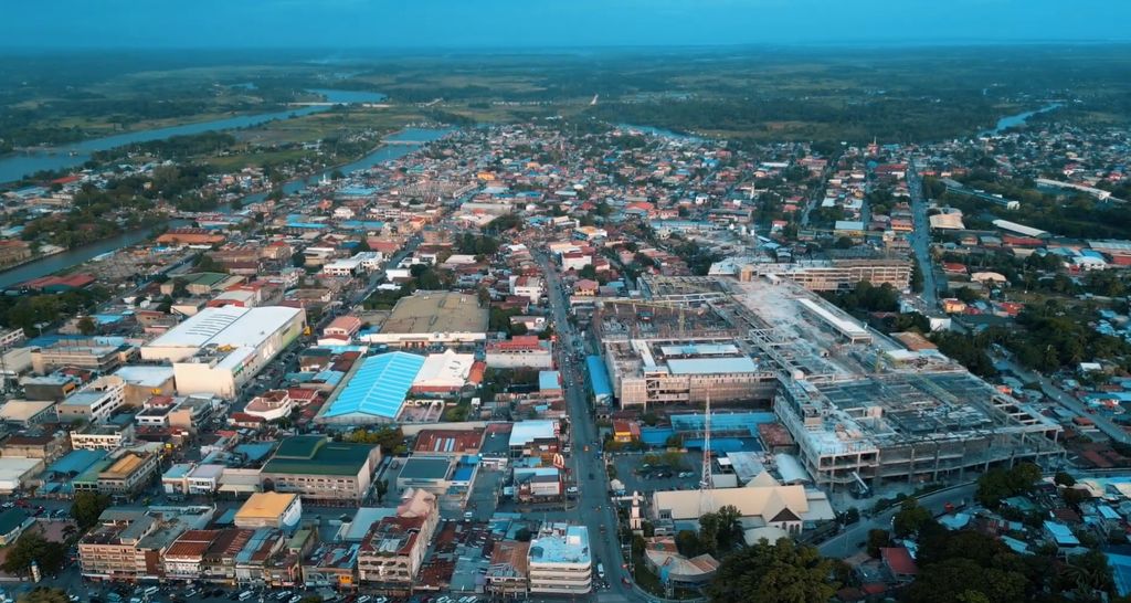
Cotabato City, officially the City of Cotabato (Maguindanaon: Kuta nu Kutawatu, Jawi: كوت نو كوتوات; Cebuano: Dakbayan sa Cotabato; Filipino: Lungsod ng Cotabato), is a first class independent component city in the Bangsamoro Autonomous Region in Muslim Mindanao, Philippines. According to the 2020 census, it has a population of 325,079 people, making it as the most populated city under the independent component city status. Cotabato City was formerly a part and the regional center of Region XII, but due to the ratification of the Bangsamoro Organic Law, it is now part of Bangsamoro and serves as the regional center. Being an independent component city, it is not a subject to regulation from the Provincial Government of Maguindanao del Norte where it is geographically located. The Philippine Statistics Authority also lists Cotabato City as statistically independent. It was the capital of the Sultanate of Maguindanao. Cotabato City is distinct from and should not be confused with the province of Cotabato.
Show more
Sun and Moon
Mon
Tue
Wed
Thu
Fri
Sat
Sun
May 2022
Date and time
00:00
06:00
12:00
18:00
Today
--
--
Sunrise
--
Sunset
--
Moonrise
--
Moonset
Phase
🌔 Waxing Gibbous
The perfect light time for beautiful photos:
--
Sunrise
--
Sunset
PeakVisor app
Get the app on your smartphone
New Panorama Tools
Trace location on the map
Measure distances
All the instruments are available in the context menu as well.
We use GPS information embedded into the photo when it is available.
3D mountains overlay
Adjust mountain panorama to perfectly match your photos because recorded by camera photo position might be imprecise.
Move tool
Rotate tool
Zoom
More customization
Choose which peak labels should make into the final photo and what photo title should be.
Next
Photo Location
Satellitte
Flat map
Relief map
Latitude
Longitude
Altitude
OR
Latitude
°'''
Longitude
°'''
Apply
Register Peak
Peak Name
Latitude
Longitude
Altitude
Register
Teleport
PeakVisor
This 3D model of Sagarmatha National Park in Nepal was made using the PeakVisor app topographic data. The mobile app features higher precision models worldwide, more topographic details, and works offline. Download PeakVisor maps today.
Download OBJ model
PeakVisor
The download should start shortly. If you find it useful please consider supporting the PeakVisor app.
PeakVisor for iOS and Android
Be a superhero of outdoor navigation with state-of-the-art 3D maps and mountain identification in the palm of your hand!


.jpg)