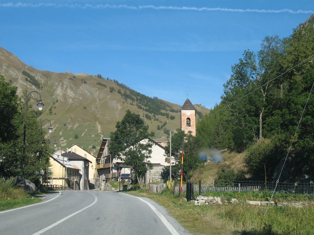
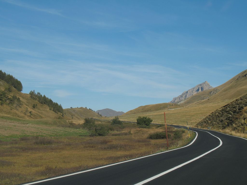
The Maddalena Pass (Italian: Colle della Maddalena French: Col de Larche, historically Col de l'Argentière) (elevation 1996 m.) is a high mountain pass between the Cottian Alps and the Maritime Alps, located on the border between Italy and France. It connects Barcelonnette in France with Cuneo in Italy. Its French name Col de Larche refers to the village Larche on its northwestern side. Under its earlier name, Col de l'Argentière it has historically linked Lyon with Italy; the Col de l'Argentière was in the possession of the house of Savoy from 1388 to 1713, offering an easy route between Piedmont and its outlying valley of Barcelonnette, which came into Savoyard possession in 1388, when Amadeus VI of Savoy purchased it for the sum of 60,000 ecus, it was of such strategic and commercial importance. A few hundred metres from the pass, on its Italian side, is the Lago della Maddalena, which is the source of the Stura di Demonte, an important tributary of the Tanaro.
We use GPS information embedded into the photo when it is available.
3D mountains overlay
Adjust mountain panorama to perfectly match your photos because recorded by camera photo position might be imprecise.
Move tool
Rotate tool
Zoom
More customization
Choose which peak labels should make into the final photo and what photo title should be.
Next
Photo Location
Satellitte
Flat map
Relief map
Latitude
Longitude
Altitude
OR
Latitude
°'''
Longitude
°'''
Apply
Register Peak
Peak Name
Latitude
Longitude
Altitude
Register
Teleport
PeakVisor
This 3D model of Sagarmatha National Park in Nepal was made using the PeakVisor app topographic data. The mobile app features higher precision models worldwide, more topographic details, and works offline. Download PeakVisor maps today.
Download OBJ model
PeakVisor
The download should start shortly. If you find it useful please consider supporting the PeakVisor app.
PeakVisor for iOS and Android
Be a superhero of outdoor navigation with state-of-the-art 3D maps and mountain identification in the palm of your hand!