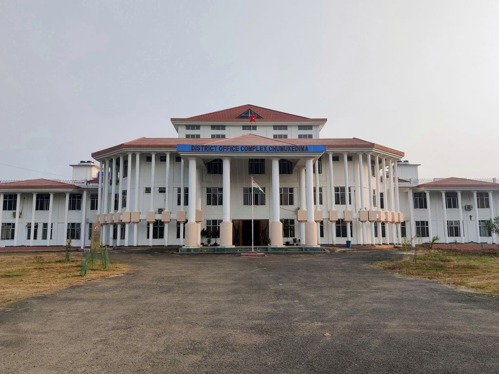
Chümoukedima (), formerly spelled Chumukedima, is a municipality in the Chümoukedima District of the Indian state of Nagaland. It is situated on the left bank of the Chathe and with its surrounding area that includes several other towns and villages, the Chümoukedima Metropolitan Area is the largest urban agglomeration in Nagaland in terms of area and third largest in terms of population, after Dimapur and Kohima. Chümoukedima is the only municipality of the district of the same name. Chümoukedima was designated as the first headquarters of then Naga Hills District of Assam Province, British India from 1866 until the administrative office moved to Wokha in 1875 and then to Kohima in 1879.
We use GPS information embedded into the photo when it is available.
3D mountains overlay
Adjust mountain panorama to perfectly match your photos because recorded by camera photo position might be imprecise.
Move tool
Rotate tool
Zoom
More customization
Choose which peak labels should make into the final photo and what photo title should be.
Next
Photo Location
Satellitte
Flat map
Relief map
Latitude
Longitude
Altitude
OR
Latitude
°'''
Longitude
°'''
Apply
Register Peak
Peak Name
Latitude
Longitude
Altitude
Register
Teleport
PeakVisor
This 3D model of Sagarmatha National Park in Nepal was made using the PeakVisor app topographic data. The mobile app features higher precision models worldwide, more topographic details, and works offline. Download PeakVisor maps today.
Download OBJ model
PeakVisor
The download should start shortly. If you find it useful please consider supporting the PeakVisor app.
PeakVisor for iOS and Android
Be a superhero of outdoor navigation with state-of-the-art 3D maps and mountain identification in the palm of your hand!