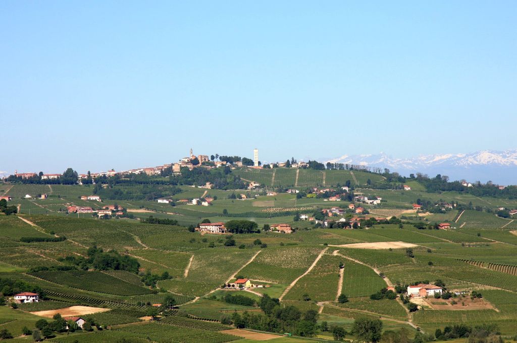
Calosso is a rural comune (municipality) in the Province of Asti in the Italian region Piedmont, located about 60 kilometres (37 mi) southeast of Turin and about 20 kilometres (12 mi) south of Asti in the hilly area between the Tanaro and Belbo and on the borders between Monferrato and Langa. As of 31 January 2024, it had a population of 1,112 and an area of 15.7 square kilometres (6.1 sq mi). The comune borders the following municipalities: Agliano Terme, Canelli, Castiglione Tinella, Costigliole d'Asti, Moasca, and Santo Stefano Belbo. The village itself, together with its castle, stands on a hill surrounded by the vineyards which represent its principal economic activity.
We use GPS information embedded into the photo when it is available.
3D mountains overlay
Adjust mountain panorama to perfectly match your photos because recorded by camera photo position might be imprecise.
Move tool
Rotate tool
Zoom
More customization
Choose which peak labels should make into the final photo and what photo title should be.
Next
Photo Location
Satellitte
Flat map
Relief map
Latitude
Longitude
Altitude
OR
Latitude
°'''
Longitude
°'''
Apply
Register Peak
Peak Name
Latitude
Longitude
Altitude
Register
Teleport
PeakVisor
This 3D model of Sagarmatha National Park in Nepal was made using the PeakVisor app topographic data. The mobile app features higher precision models worldwide, more topographic details, and works offline. Download PeakVisor maps today.
Download OBJ model
PeakVisor
The download should start shortly. If you find it useful please consider supporting the PeakVisor app.
PeakVisor for iOS and Android
Be a superhero of outdoor navigation with state-of-the-art 3D maps and mountain identification in the palm of your hand!