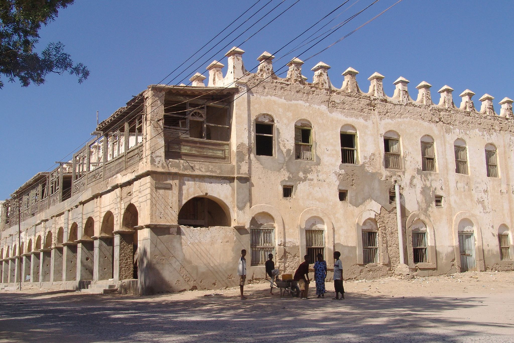
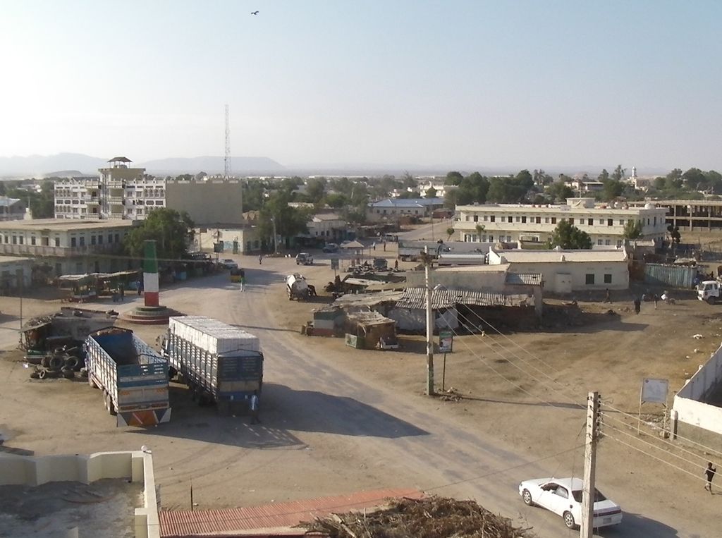
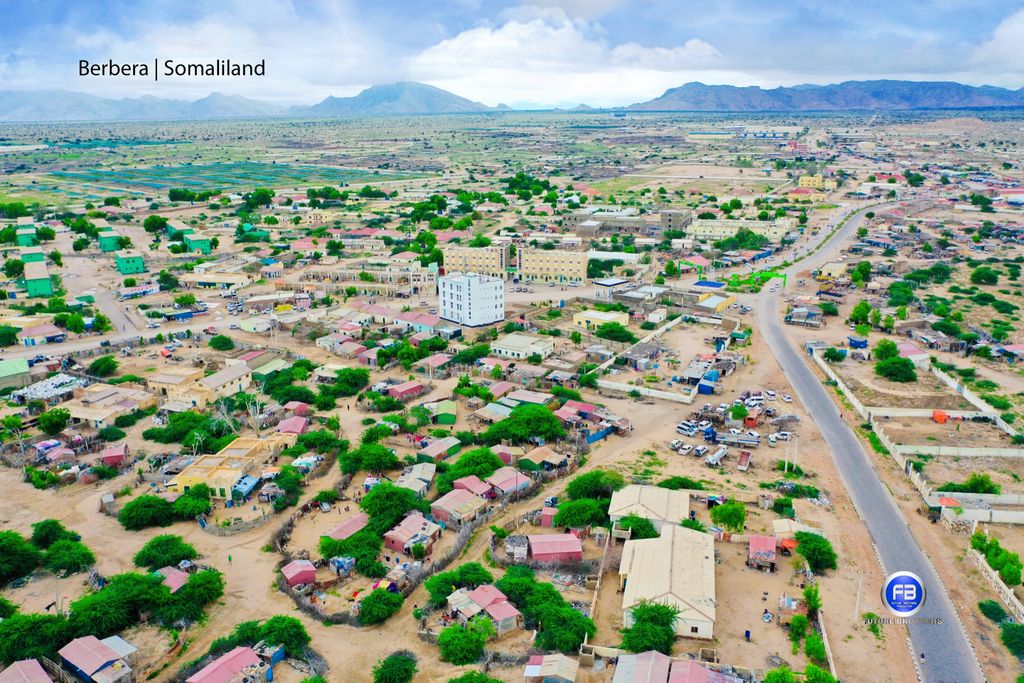
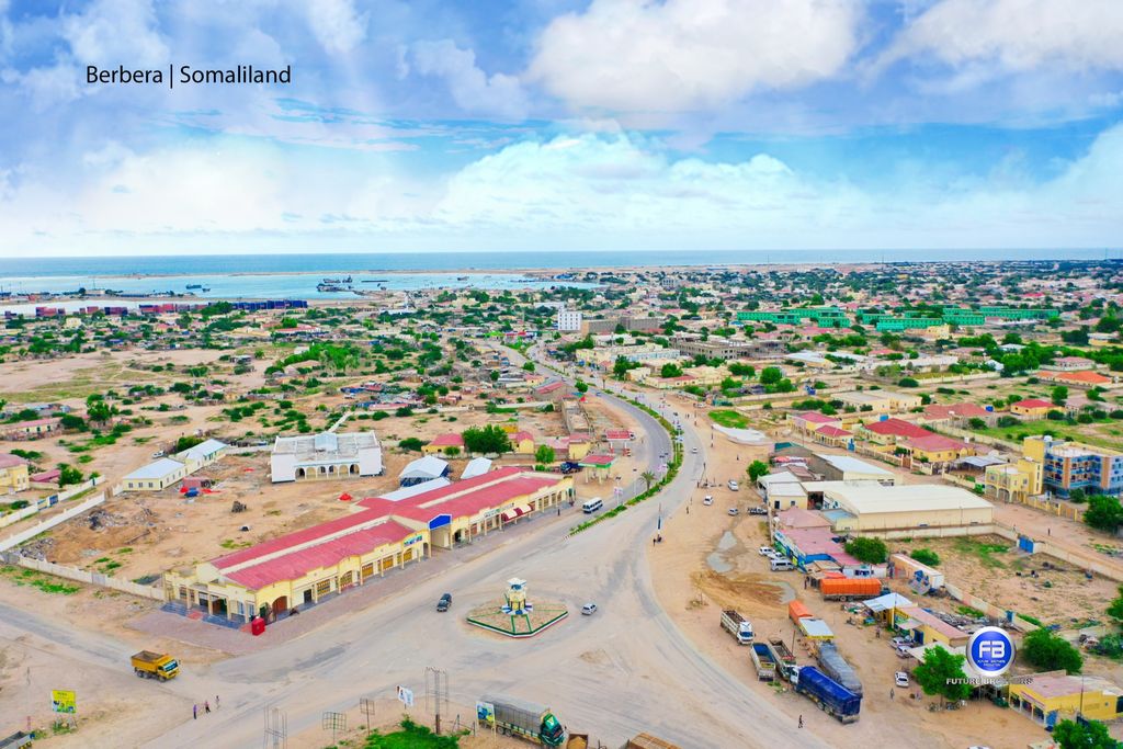
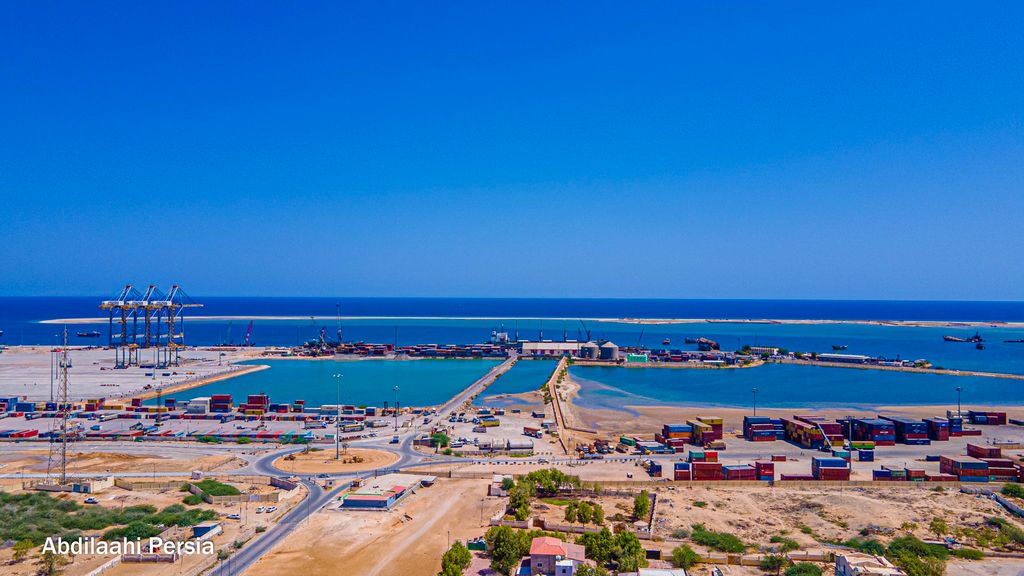
Berbera (burr-burr-AH; Somali: Barbara, Arabic: بربرة) is the capital of the Sahil region of Somaliland and is the main sea port of the country, located approximately 160 km from the national capital, Hargeisa. Berbera is a coastal city and was the former capital of the British Somaliland protectorate before Hargeisa. It also served as a major port of the Ifat, Adal and Isaaq sultanates from the 13th to 19th centuries. In antiquity, Berbera was part of a chain of commercial port cities along the Somali seaboard. During the early modern period, Berbera was the most important place of trade in the Somali Peninsula. It later served as the capital of the British Somaliland protectorate from 1884 to 1941, when it was replaced by Hargeisa. In 1960, the British Somaliland protectorate gained independence as the State of Somaliland and united five days later with the Trust Territory of Somalia (the former Italian Somalia) to form the Somali Republic. Located strategically on the oil route, the city has a deep seaport, which serves as the region's main commercial harbour.
We use GPS information embedded into the photo when it is available.
3D mountains overlay
Adjust mountain panorama to perfectly match your photos because recorded by camera photo position might be imprecise.
Move tool
Rotate tool
Zoom
More customization
Choose which peak labels should make into the final photo and what photo title should be.
Next
Photo Location
Satellitte
Flat map
Relief map
Latitude
Longitude
Altitude
OR
Latitude
°'''
Longitude
°'''
Apply
Register Peak
Peak Name
Latitude
Longitude
Altitude
Register
Teleport
PeakVisor
This 3D model of Sagarmatha National Park in Nepal was made using the PeakVisor app topographic data. The mobile app features higher precision models worldwide, more topographic details, and works offline. Download PeakVisor maps today.
Download OBJ model
PeakVisor
The download should start shortly. If you find it useful please consider supporting the PeakVisor app.
PeakVisor for iOS and Android
Be a superhero of outdoor navigation with state-of-the-art 3D maps and mountain identification in the palm of your hand!