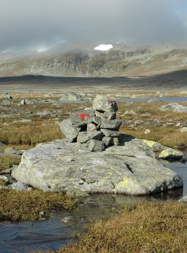
The Norwegian Trekking Association (Norwegian: Den norske turistforening, DNT) is a Norwegian association which maintains mountain trails and cabins in Norway. The association was founded on 21 January 1868 with the scope "to help and develop tourism in this country". Today the goal is to work for simple, secure and environmentally friendly outdoor activities. DNT has currently more than 300,000 individual members, and 57 local chapters. It also has several "honorary members", prominent people who have shown a keen interest in Norwegian nature and given the country publicity as a tourist destination, among them Kofi Annan and Katie Melua. The secretary-general of the association is Dag Terje Klarp Solvang. The mountains of Norway have always been utilised by the Norwegian people since the first Norwegians followed the reindeer when the ice cap retracted ten thousand years ago. DNT's first hut was Krokan by the Rjukan waterfall. The waterfall was later harnessed for hydropower production and the hut was sold. Today it is re-opened, situated by the main road from Tinn to Vinje. Together with local organisations all over Norway, it operates more than 550 cabins in Norwegian mountains and forest areas. Olav Thon, a Norwegian real-estate investor and hobby trekker, has so far donated 55 million kr to the association. The money has been spent to build new and refurbish existing cabins.
Show more
Sun and Moon
Mon
Tue
Wed
Thu
Fri
Sat
Sun
May 2022
Date and time
00:00
06:00
12:00
18:00
Today
--
--
Sunrise
--
Sunset
--
Moonrise
--
Moonset
Phase
🌔 Waxing Gibbous
The perfect light time for beautiful photos:
--
Sunrise
--
Sunset
PeakVisor app
Get the app on your smartphone
New Panorama Tools
Trace location on the map
Measure distances
All the instruments are available in the context menu as well.
We use GPS information embedded into the photo when it is available.
3D mountains overlay
Adjust mountain panorama to perfectly match your photos because recorded by camera photo position might be imprecise.
Move tool
Rotate tool
Zoom
More customization
Choose which peak labels should make into the final photo and what photo title should be.
Next
Photo Location
Satellitte
Flat map
Relief map
Latitude
Longitude
Altitude
OR
Latitude
°'''
Longitude
°'''
Apply
Register Peak
Peak Name
Latitude
Longitude
Altitude
Register
Teleport
PeakVisor
This 3D model of Sagarmatha National Park in Nepal was made using the PeakVisor app topographic data. The mobile app features higher precision models worldwide, more topographic details, and works offline. Download PeakVisor maps today.
Download OBJ model
PeakVisor
The download should start shortly. If you find it useful please consider supporting the PeakVisor app.
PeakVisor for iOS and Android
Be a superhero of outdoor navigation with state-of-the-art 3D maps and mountain identification in the palm of your hand!