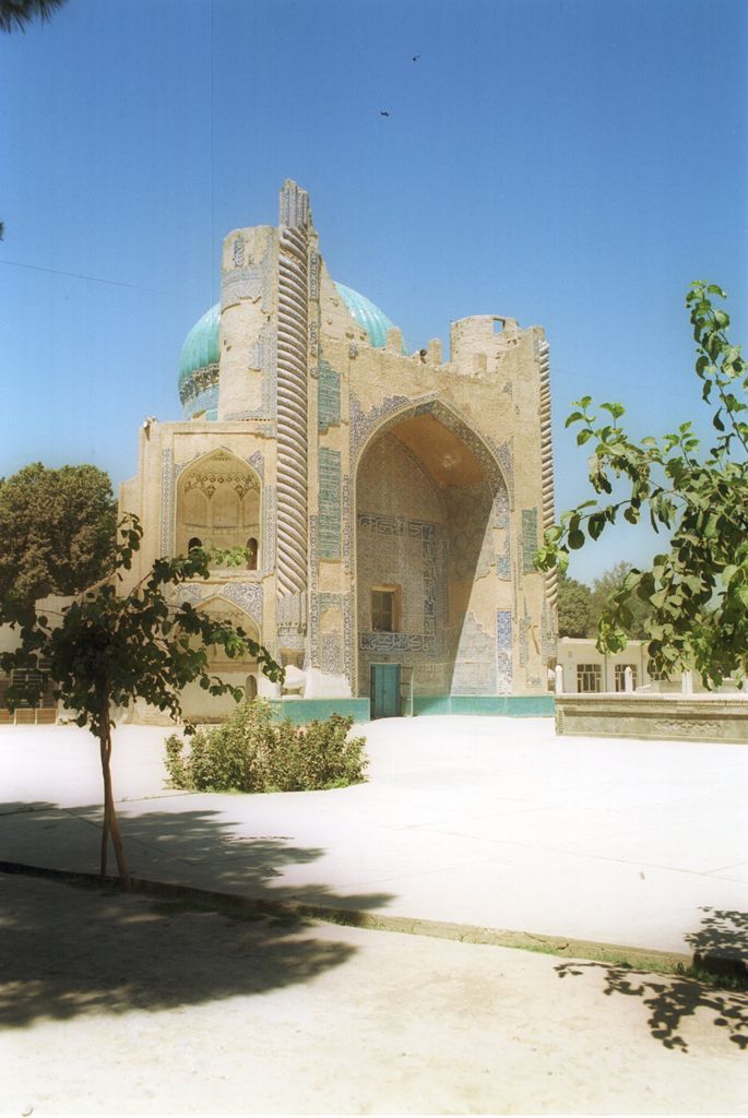
Balkh is a town in the Balkh Province of Afghanistan, about 20 km (12 mi) northwest of the provincial capital, Mazar-e Sharif, and some 74 km (46 mi) south of the Amu Darya river and the Uzbekistan border. Its population was estimated to be 138,594 in 2021–22 by the Afghan National Statistic and Information Authority. Listed as the current 8th most populous city in the country, 2024 estimates set the population of Balkh at 114,883. Balkh was historically an ancient place of religions, Zoroastrianism and Buddhism, and one of the wealthiest and largest cities of Bactria, since the latter's earliest history. The city was also known to Persians as Zariaspa and to the Ancient Greeks as Bactra, giving its name to Bactria (They also called the city Zariaspa). As such, it was famously known as the capital of Bactria or Tokharistan. Marco Polo described Balkh as a "noble and great city". Balkh is now for the most part a mass of ruins, situated some 12 km (7.5 mi) from the right bank of the seasonally flowing Balkh River, at an elevation of about 365 m (1,198 ft). Balkh is a multiethnic city with a substantial Tajik population, who in particular are native to the region and have continually inhabited the city for millennia. The main language of the city is Farsi, which is spoken by a significant majority. The region around Balkh is particularly known for it's archeology and historical sites which represent many different cultures that at various times influenced the city. French Buddhist Alexandra David-Néel associated Shambhala with Balkh, also offering the Persian Sham-i-Bala ("elevated candle") as an etymology of its name. In a similar vein, the Gurdjieffian J. G. Bennett published speculation that Shambalha was Shams-i-Balkh, a Bactrian sun temple.
Show more
Sun and Moon
Mon
Tue
Wed
Thu
Fri
Sat
Sun
May 2022
Date and time
00:00
06:00
12:00
18:00
Today
--
--
Sunrise
--
Sunset
--
Moonrise
--
Moonset
Phase
🌔 Waxing Gibbous
The perfect light time for beautiful photos:
--
Sunrise
--
Sunset
PeakVisor app
Get the app on your smartphone
New Panorama Tools
Trace location on the map
Measure distances
All the instruments are available in the context menu as well.
We use GPS information embedded into the photo when it is available.
3D mountains overlay
Adjust mountain panorama to perfectly match your photos because recorded by camera photo position might be imprecise.
Move tool
Rotate tool
Zoom
More customization
Choose which peak labels should make into the final photo and what photo title should be.
Next
Photo Location
Satellitte
Flat map
Relief map
Latitude
Longitude
Altitude
OR
Latitude
°'''
Longitude
°'''
Apply
Register Peak
Peak Name
Latitude
Longitude
Altitude
Register
Teleport
PeakVisor
This 3D model of Sagarmatha National Park in Nepal was made using the PeakVisor app topographic data. The mobile app features higher precision models worldwide, more topographic details, and works offline. Download PeakVisor maps today.
Download OBJ model
PeakVisor
The download should start shortly. If you find it useful please consider supporting the PeakVisor app.
PeakVisor for iOS and Android
Be a superhero of outdoor navigation with state-of-the-art 3D maps and mountain identification in the palm of your hand!