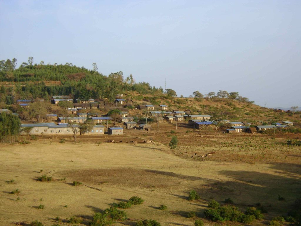
Awra Amba (Amharic: አውራ አምባ) is an Ethiopian intentional community of about 463 people, located 73 kilometres east of Bahir Dar in the Fogera woreda of Debub Gondar Zone. It was founded in 1980 with the goal of solving socio-economic problems through helping one another in an environment of egalitarianism — in marked contrast to the traditional norms of Amhara society. The name means "Top of the Hill" in Amharic. Founded by Zumra Nuru, who currently serves as co-chairman of the community, with 19 other people who shared his vision, as of 2016 Awra Amba has some 450 members, and is lauded as a model to alleviate poverty and promote gender equality in a country where women are generally subservient to men.
We use GPS information embedded into the photo when it is available.
3D mountains overlay
Adjust mountain panorama to perfectly match your photos because recorded by camera photo position might be imprecise.
Move tool
Rotate tool
Zoom
More customization
Choose which peak labels should make into the final photo and what photo title should be.
Next
Photo Location
Satellitte
Flat map
Relief map
Latitude
Longitude
Altitude
OR
Latitude
°'''
Longitude
°'''
Apply
Register Peak
Peak Name
Latitude
Longitude
Altitude
Register
Teleport
PeakVisor
This 3D model of Sagarmatha National Park in Nepal was made using the PeakVisor app topographic data. The mobile app features higher precision models worldwide, more topographic details, and works offline. Download PeakVisor maps today.
Download OBJ model
PeakVisor
The download should start shortly. If you find it useful please consider supporting the PeakVisor app.
PeakVisor for iOS and Android
Be a superhero of outdoor navigation with state-of-the-art 3D maps and mountain identification in the palm of your hand!