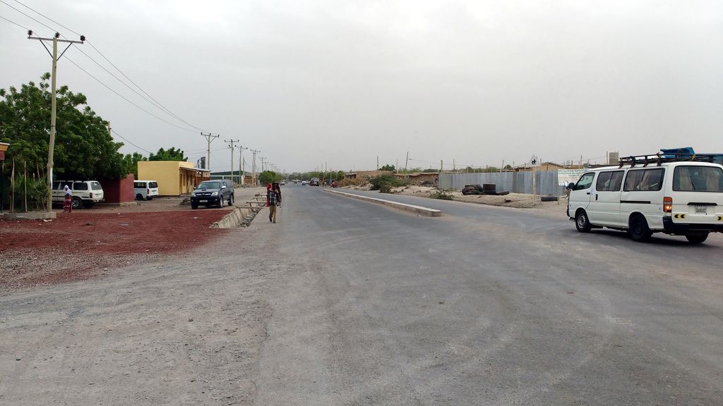
Asaita (Amharic: አሳይታ, Asayəta; Afar: Aysaqiita), known historically as Aussa (Awsa), is a town in northeastern Ethiopia, and until 2007 served as the capital of the Afar Region of Ethiopia. Located in the Afambo woreda, part of the region's Awsi Rasu zone, the town has a latitude and longitude of 11°34′N 41°26′E and an elevation of 300 metres (980 ft). Aussa was known by its full known name Aussa Gurêle which was founded upon a rock bound by the rivers Awash, Raheita and Assab. According to Huntingford's opinion the term Gurêle represented the name of a hill 90 miles north-west of Lake Abbe. Asaita was briefly the capital of the Adal Sultanate and Imamate of Aussa as well as seat of the Aussa Sultanate, the chief Afar monarchy, but is 50 kilometres (31 mi) south by unpaved road from Awash–Asseb highway. A telephone line from Kombolcha to Asaita was in operation in 1964. The town of Semera, a planned settlement situated squarely on this highway, at some point before 2007 became the new capital of the region. To the southeast of Asaita, located at the southern edge of the Danakil Desert, are a group of twenty salt lakes which cover the territory to the border with neighboring Djibouti. These lakes include Lake Gummare, known for its flamingos, and Lake Abbe, the final destination of the Awash River. Based on figures from the Central Statistical Agency in 2005, the town has an estimated total population of 22,718, of whom 12,722 were males and 9,996 were females. According to the 1994 national census, the town had a population of 15,475.
Show more
Sun and Moon
Mon
Tue
Wed
Thu
Fri
Sat
Sun
May 2022
Date and time
00:00
06:00
12:00
18:00
Today
--
--
Sunrise
--
Sunset
--
Moonrise
--
Moonset
Phase
🌔 Waxing Gibbous
The perfect light time for beautiful photos:
--
Sunrise
--
Sunset
PeakVisor app
Get the app on your smartphone
New Panorama Tools
Trace location on the map
Measure distances
All the instruments are available in the context menu as well.
We use GPS information embedded into the photo when it is available.
3D mountains overlay
Adjust mountain panorama to perfectly match your photos because recorded by camera photo position might be imprecise.
Move tool
Rotate tool
Zoom
More customization
Choose which peak labels should make into the final photo and what photo title should be.
Next
Photo Location
Satellitte
Flat map
Relief map
Latitude
Longitude
Altitude
OR
Latitude
°'''
Longitude
°'''
Apply
Register Peak
Peak Name
Latitude
Longitude
Altitude
Register
Teleport
PeakVisor
This 3D model of Sagarmatha National Park in Nepal was made using the PeakVisor app topographic data. The mobile app features higher precision models worldwide, more topographic details, and works offline. Download PeakVisor maps today.
Download OBJ model
PeakVisor
The download should start shortly. If you find it useful please consider supporting the PeakVisor app.
PeakVisor for iOS and Android
Be a superhero of outdoor navigation with state-of-the-art 3D maps and mountain identification in the palm of your hand!