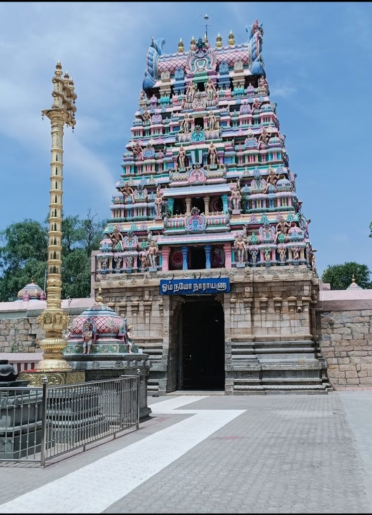
Ariyalur (Tamil: [aɾijaluːɾ]) is a town and district headquarters of Ariyalur district in the South Indian state of Tamil Nadu and is rich in limestone, surrounded with seven cement factories and two sugar factories. The town is located at a distance of 310 km (190 mi) from the state capital Chennai. Ariyalur was a part of the erstwhile Trichinopoly District until India's independence in 1947 and Tiruchirappalli district until 1995, Perambalur district until 2007 and subsequently a part of the newly formed Ariyalur district. The town is a part of the fertile Cauvery Delta and the major profession in the town is agriculture. Ariyalur is administered by a municipality established in 1994. As of 2011, the municipality covered an area of 7.62 km2 (2.94 sq mi) and had a population of 28,902. Ariyalur comes under the Ariyalur assembly constituency which elects a member to the Tamil Nadu Legislative Assembly once every five years and it is a part of the Chidambaram constituency which elects its Member of Parliament (MP) once in five years. Roadways are the major mode of transportation to the town and it also has rail connectivity which acts as a main station after Tiruchirappalli junction. The nearest seaport is Karaikal port, located 95 km (59 mi) away, while the nearest airport is the Tiruchirappalli International Airport, located 76 km (47 mi) away from the town.
We use GPS information embedded into the photo when it is available.
3D mountains overlay
Adjust mountain panorama to perfectly match your photos because recorded by camera photo position might be imprecise.
Move tool
Rotate tool
Zoom
More customization
Choose which peak labels should make into the final photo and what photo title should be.
Next
Photo Location
Satellitte
Flat map
Relief map
Latitude
Longitude
Altitude
OR
Latitude
°'''
Longitude
°'''
Apply
Register Peak
Peak Name
Latitude
Longitude
Altitude
Register
Teleport
PeakVisor
This 3D model of Sagarmatha National Park in Nepal was made using the PeakVisor app topographic data. The mobile app features higher precision models worldwide, more topographic details, and works offline. Download PeakVisor maps today.
Download OBJ model
PeakVisor
The download should start shortly. If you find it useful please consider supporting the PeakVisor app.
PeakVisor for iOS and Android
Be a superhero of outdoor navigation with state-of-the-art 3D maps and mountain identification in the palm of your hand!


.jpg)