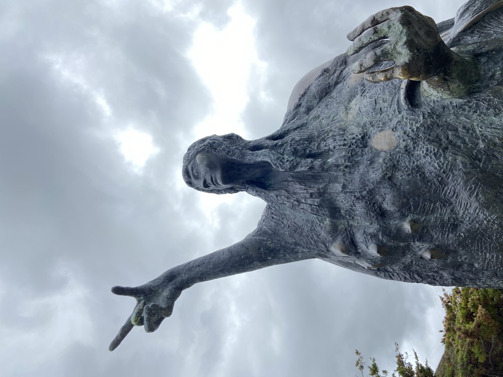
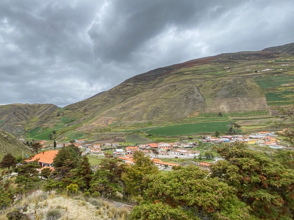
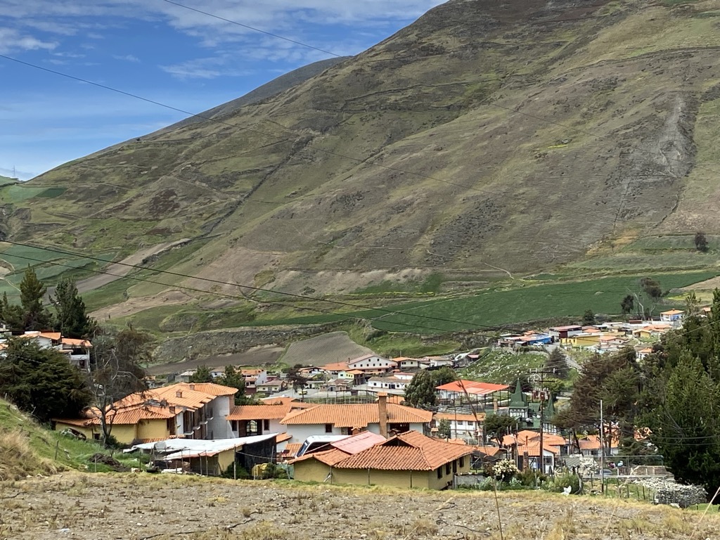
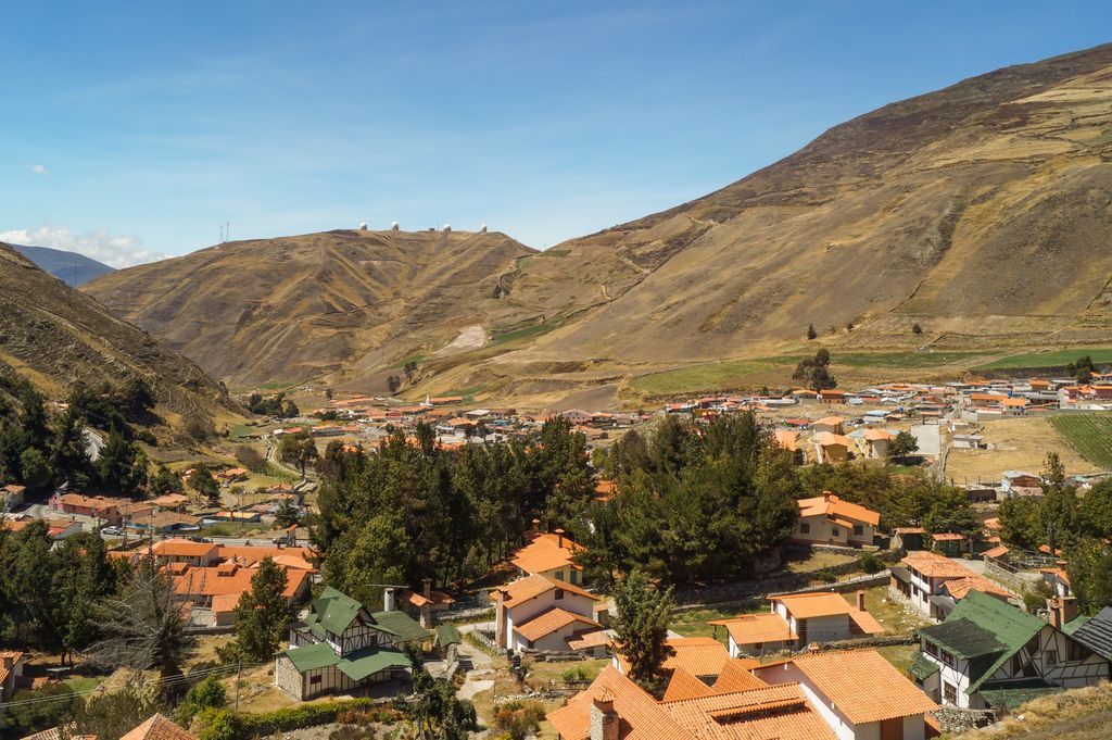
Apartaderos is a small Andean town in Mérida State, Venezuela. Located at an altitude of 3,505 metres (11,499 ft), it is the highest town in Venezuela, surrounded by páramo vegetation, the town has tourism facilities such as restaurants, gift shops and small hotels. In addition to tourism the main activities are agriculture, flower cultivation and crafts. It can be reached from Mérida city and Valera by the Transandean Highway, which reaches its highest point at 4,000 metres (13,000 ft) in El Collado del Cóndor (also known as Pico El Águila by the locals) a couple of minutes from the town. In terms of climate, January, the coldest month, averages 2.5 °C (36.5 °F), while the hottest month, June, averages 11 °C (52 °F). Apartaderos has an Alpine tundra climate (Köppen: ET), the yearly average is 6.9 °C (44.4 °F) with the average temperature of the warmest month below the 10 °C (50 °F). Apartaderos sits at the intersection of three river valleys: the Chama which flows down to the city of Mérida, the Santo Domingo which flows to Los Llanos (plains) of Barinas, and the Motatán, which flows to the city of Valera. The striking landscape around Apartaderos has inspired native American myth and poetry.
We use GPS information embedded into the photo when it is available.
3D mountains overlay
Adjust mountain panorama to perfectly match your photos because recorded by camera photo position might be imprecise.
Move tool
Rotate tool
Zoom
More customization
Choose which peak labels should make into the final photo and what photo title should be.
Next
Photo Location
Satellitte
Flat map
Relief map
Latitude
Longitude
Altitude
OR
Latitude
°'''
Longitude
°'''
Apply
Register Peak
Peak Name
Latitude
Longitude
Altitude
Register
Teleport
PeakVisor
This 3D model of Sagarmatha National Park in Nepal was made using the PeakVisor app topographic data. The mobile app features higher precision models worldwide, more topographic details, and works offline. Download PeakVisor maps today.
Download OBJ model
PeakVisor
The download should start shortly. If you find it useful please consider supporting the PeakVisor app.
PeakVisor for iOS and Android
Be a superhero of outdoor navigation with state-of-the-art 3D maps and mountain identification in the palm of your hand!